Below is a complete listing of all Ohio Historical Markers. To find a detailed marker listing including text, photographs, and locations, click on a county below. Our listing is updated by the markers program as new markers are installed and older markers are reported damaged or missing.
ALERT (May 2024): Marker damaged and awaiting replacement.
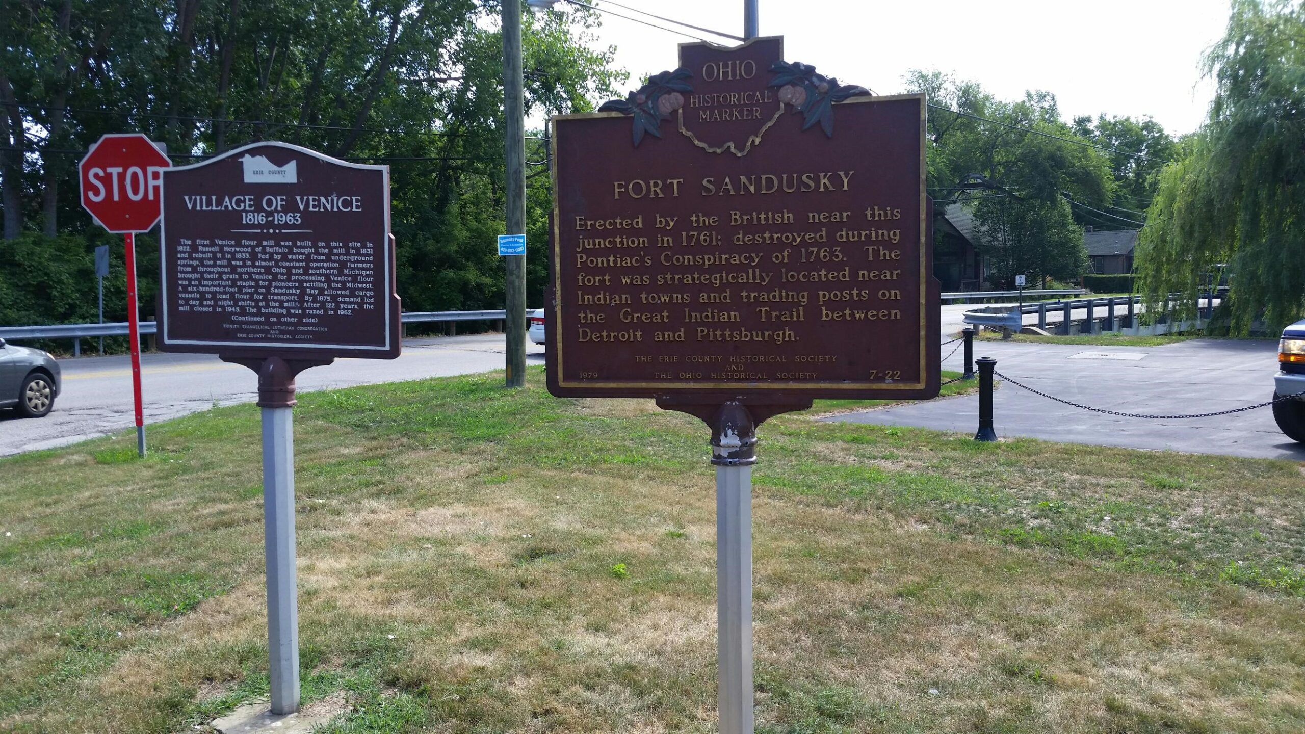
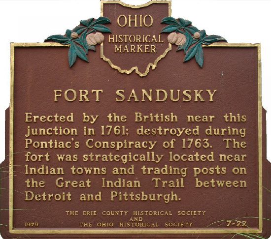
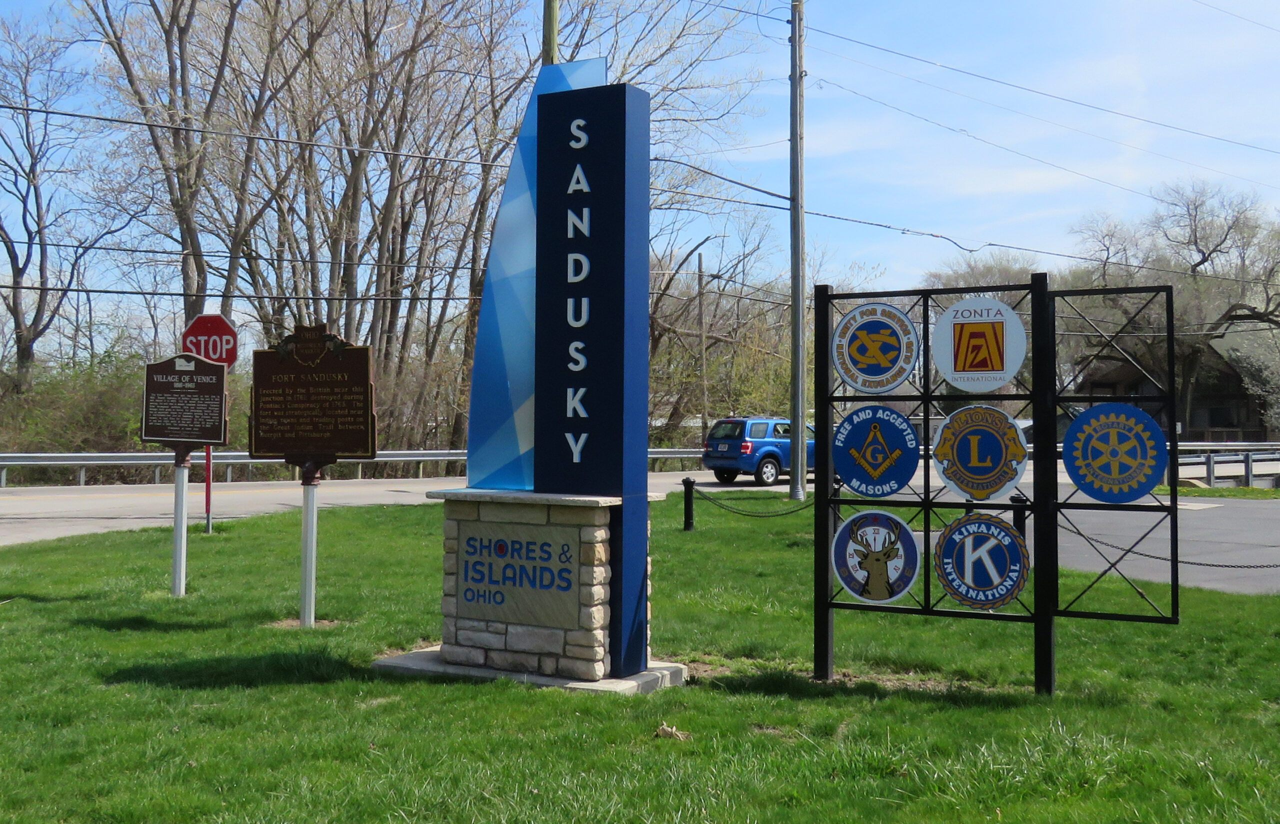
7-22 Fort Sandusky
Side A: Erected by the British near this junction in 1761; destroyed during Pontiac’s Conspiracy of 1763. The fort was strategically located near Indian towns and trading posts on the Great Indian trail between Detroit and Pittsburgh.