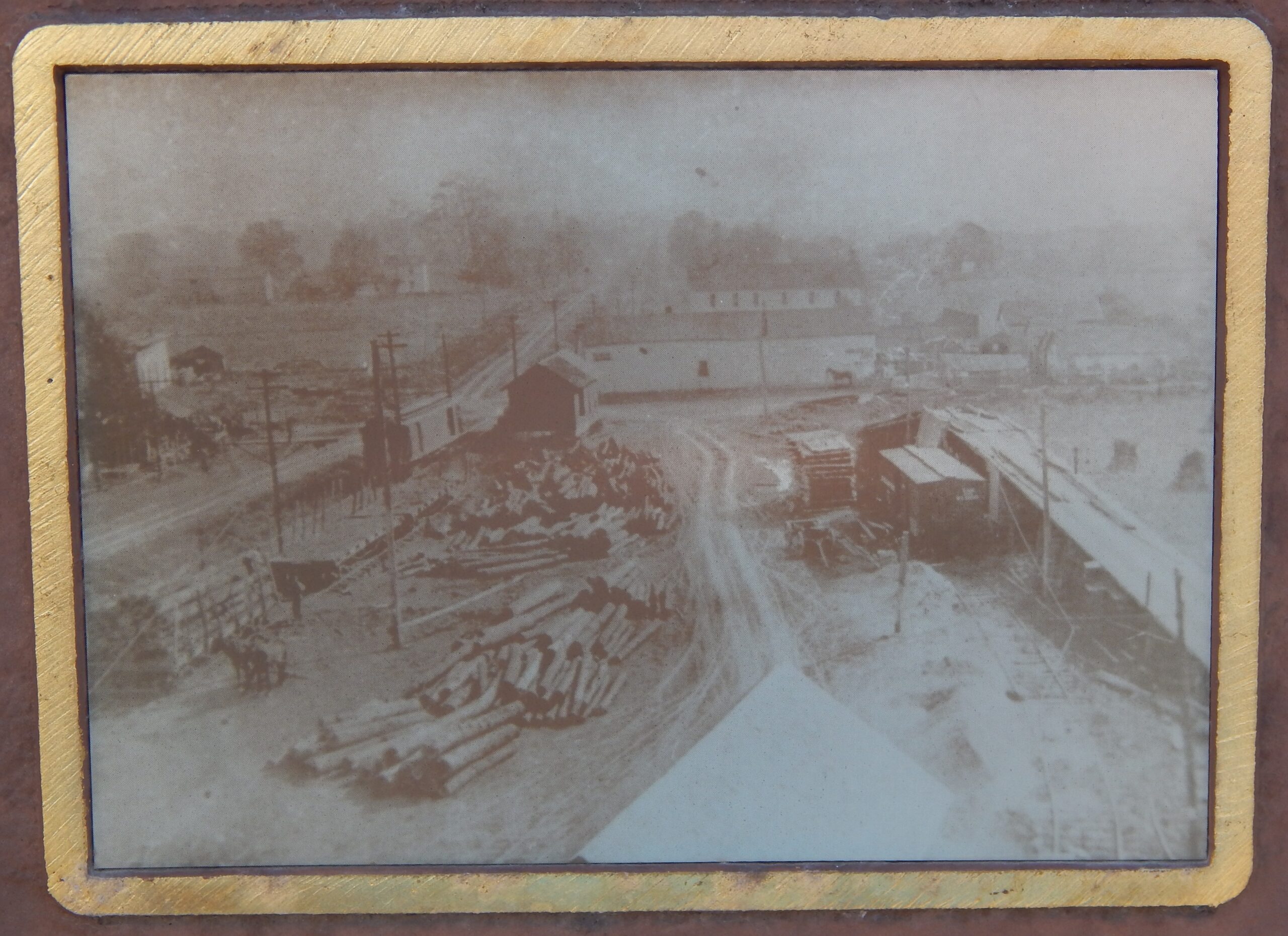
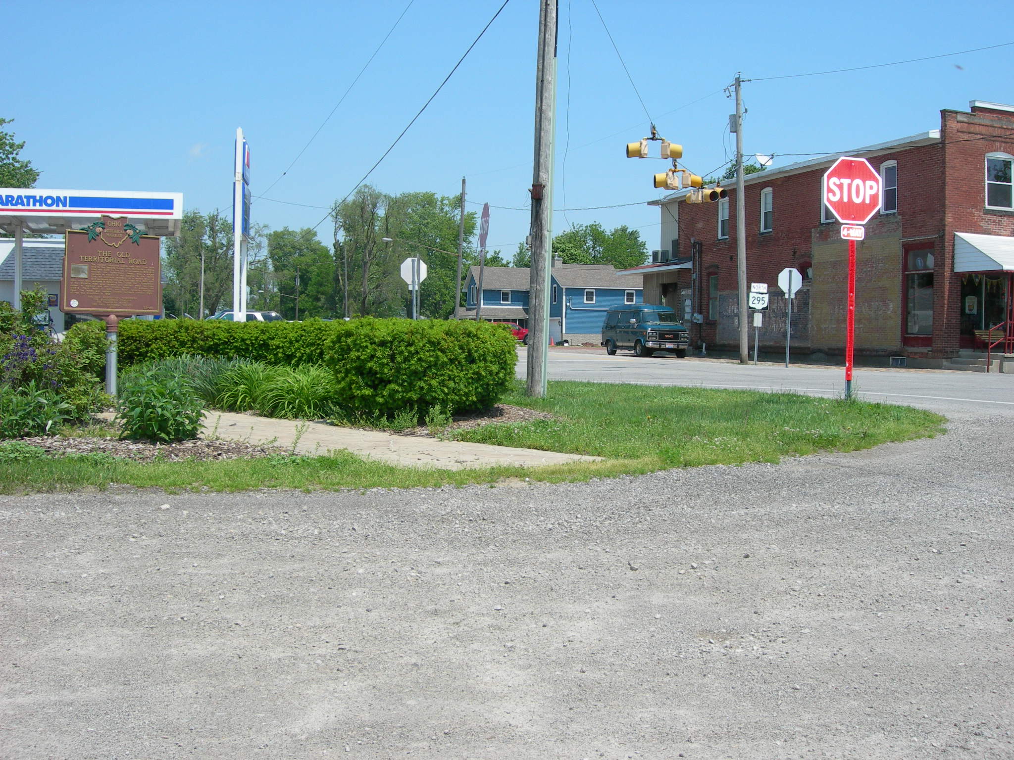
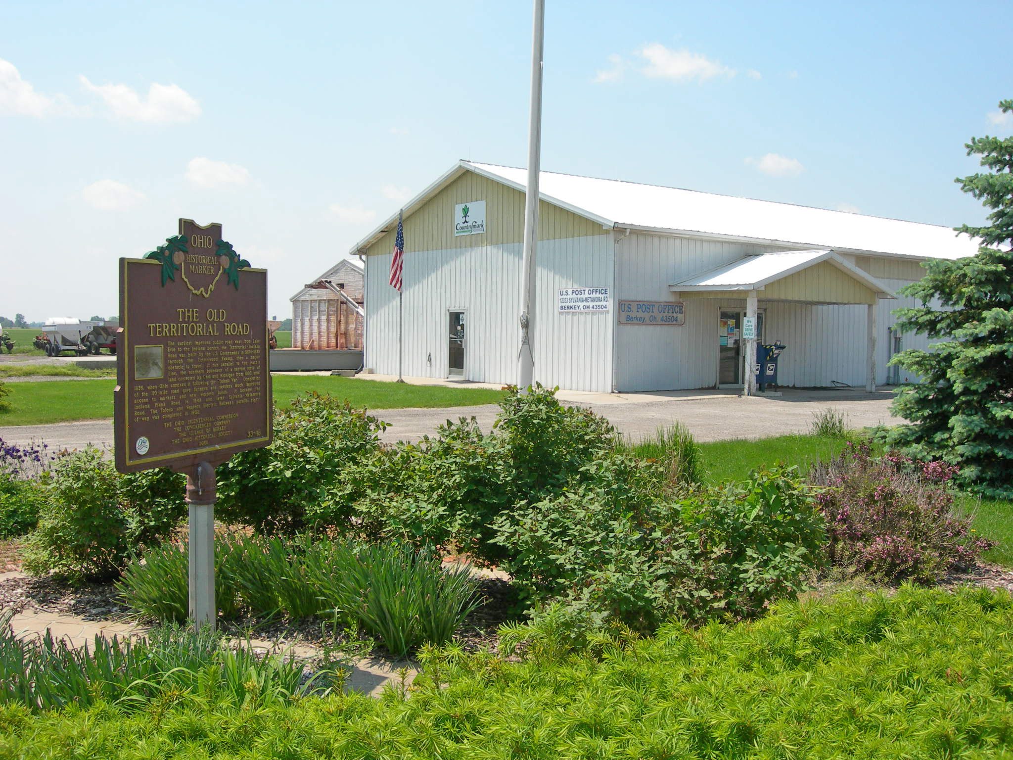
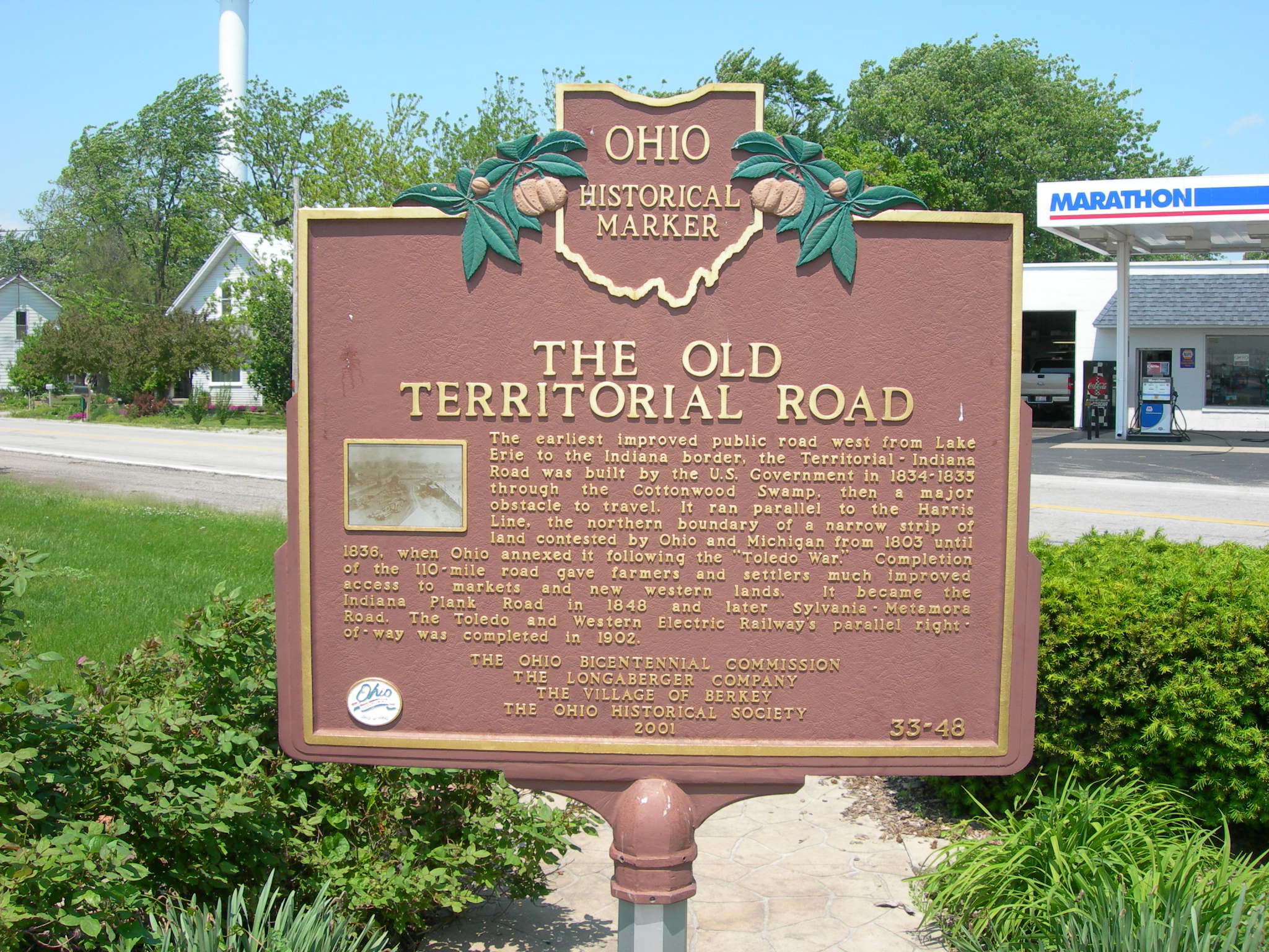
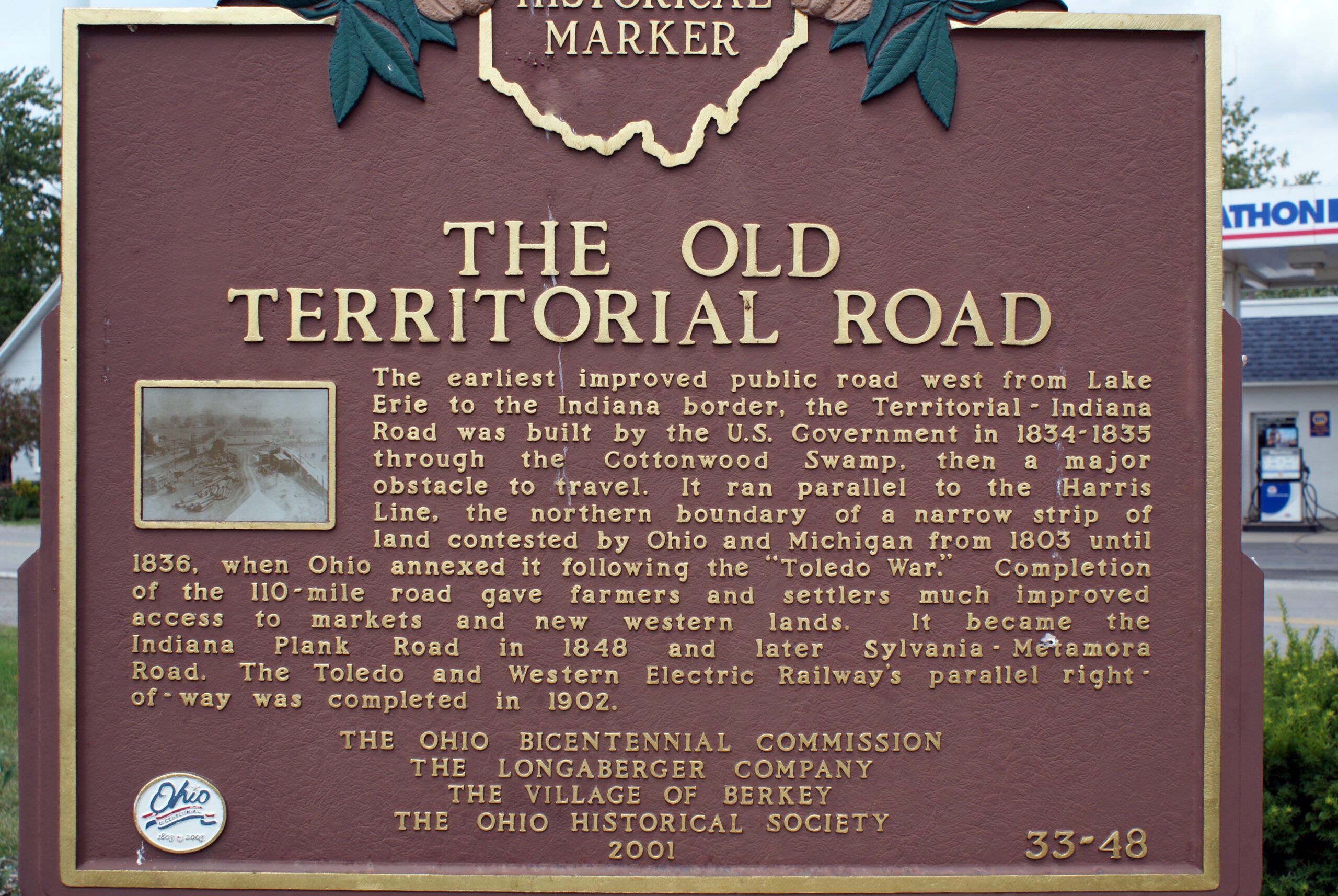
Side A: The earliest improved public road west from Lake Erie to the Indiana border, the Territorial-Indiana Road was built by the U.S. Government in 1834-1835 through the Cottonwood Swamp, then a major obstacle to travel. It ran parallel to the Harris Line, the northern boundary of a narrow strip of land contested by Ohio and Michigan from 1803 until 1836, when Ohio annexed it following the “Toledo War.” Completion of the 110-mile road gave farmers and settlers much improved access to markets and new western lands. It became the Indiana Plank Road in 1848 and later Sylvania-Metamora Road. The Toledo and Western Electric Railway’s parallel right-of-way was completed in 1902.
Sponsors: Ohio Bicentennial Commission, The Longaberger Company, The Village of Berkey , and The Ohio Historical Society