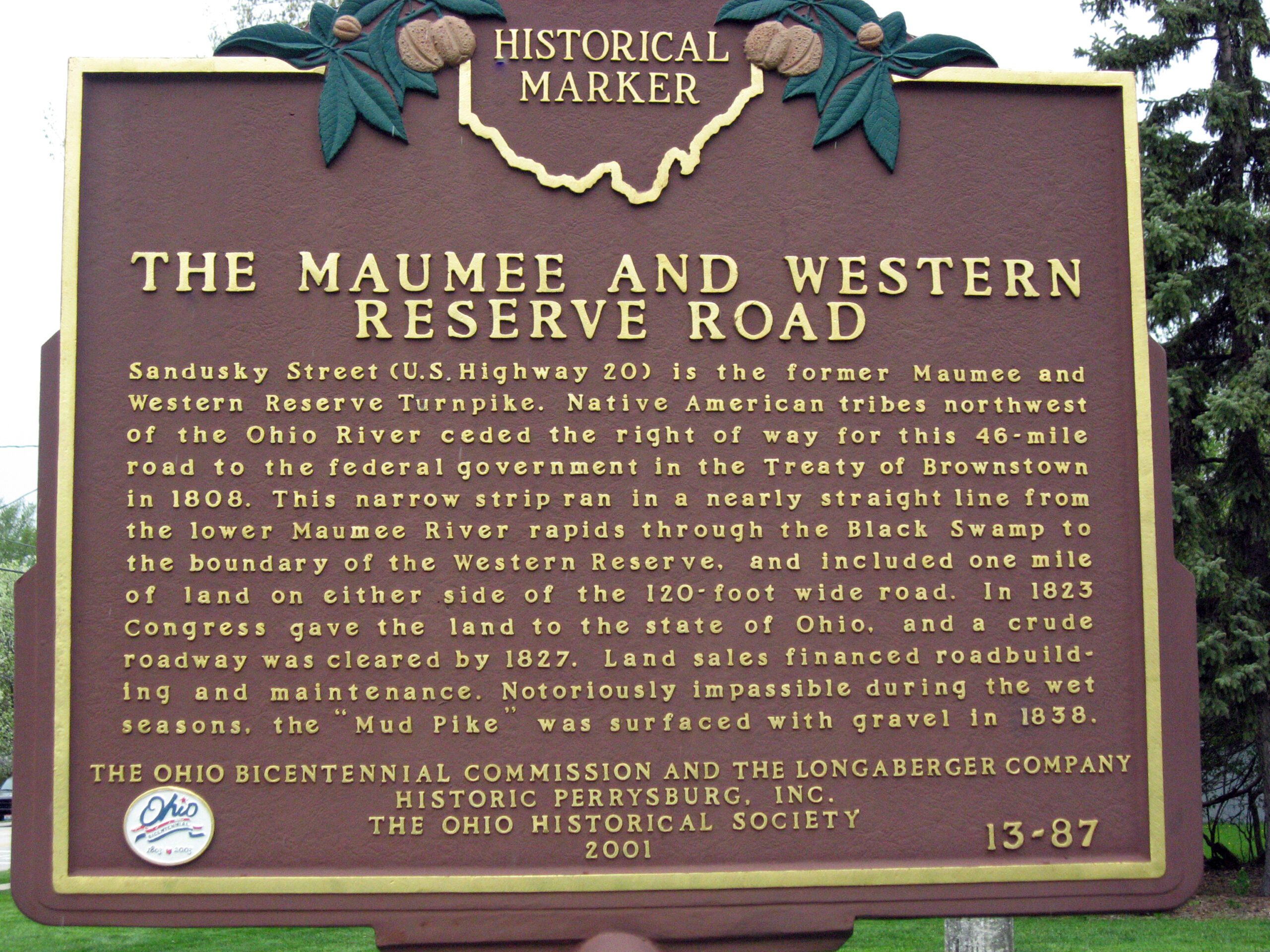
Side A: Sandusky Street (U.S. Highway 20) is the former Maumee and Western Reserve Turnpike. Native American tribes northwest of the Ohio River ceded the right of way for this 46-mile road to the federal government in the Treaty of Brownstown in 1808. This narrow strip ran in a nearly straight line from the lower Maumee River rapids through the Black Swamp to the boundary of the Western Reserve, and included one mile of land on either side of the 120-foot wide road. In 1823 Congress gave the land to the state of Ohio, and a crude roadway was cleared by 1827. Land sales financed roadbuilding and maintenance. Notoriously impassible during the wet seasons, the “Mud Pike” was surfaced with gravel in 1838.
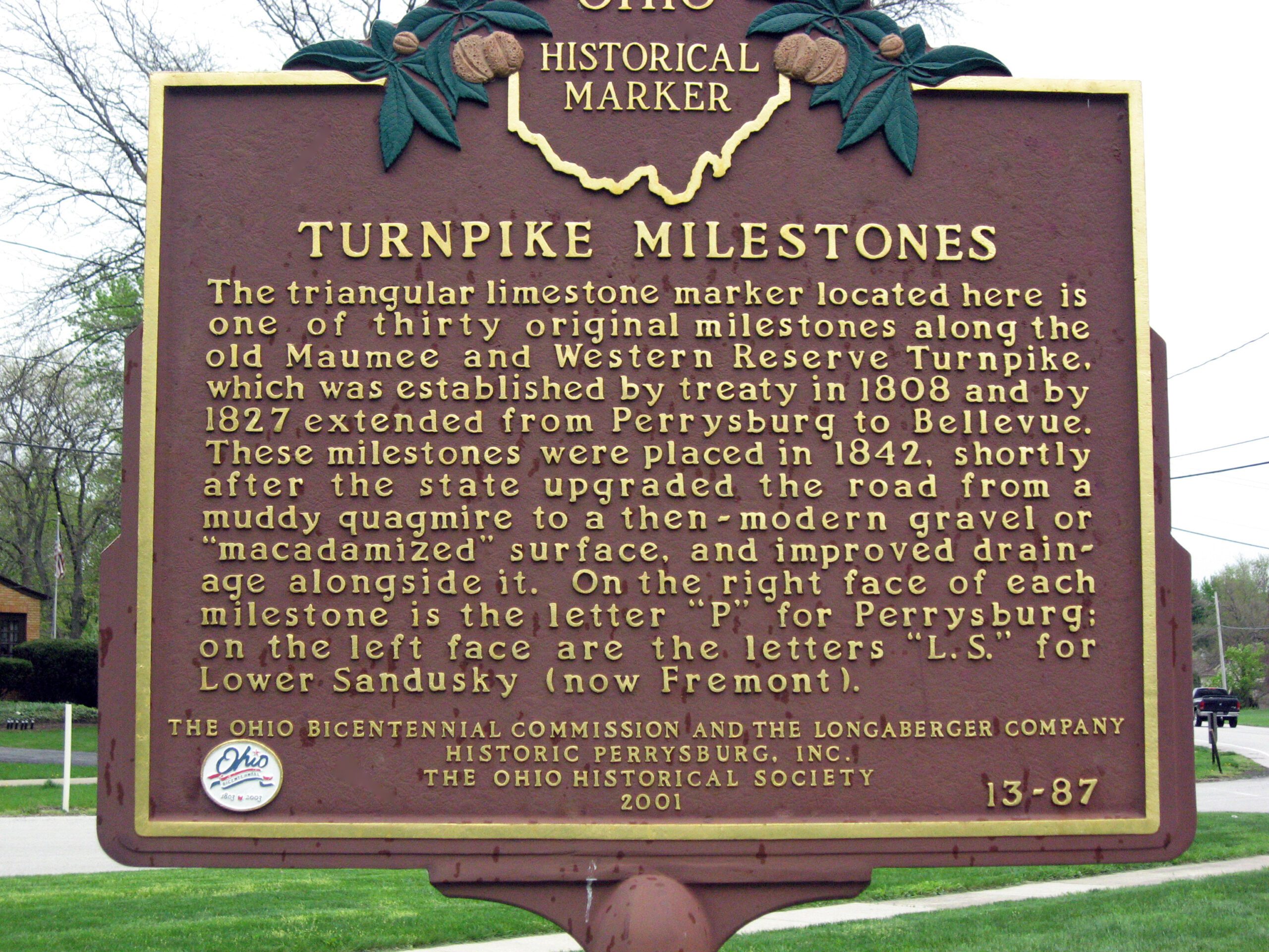
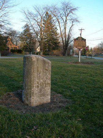
Side B: The triangular limestone marker located here is of one of thirty original milestones along the old Maumee and Western Reserve Turnpike, which was established by treaty in 1808 and by 1827 extended from Perrysburg to Bellevue. These milestones were placed in 1842, shortly after the state upgraded the road from a muddy quagmire to a then-modern gravel or “macadamized” surface, and improved drainage alongside it. On the right face of each milestone is the letter “P” for Perrysburg; on the left face are the letters “L.S.” for Lower Sandusky (now Fremont).
Sponsors: Ohio Bicentennial Commission, The Longaberger Company, Historic Perrysburg, Inc., and The Ohio Historical Society