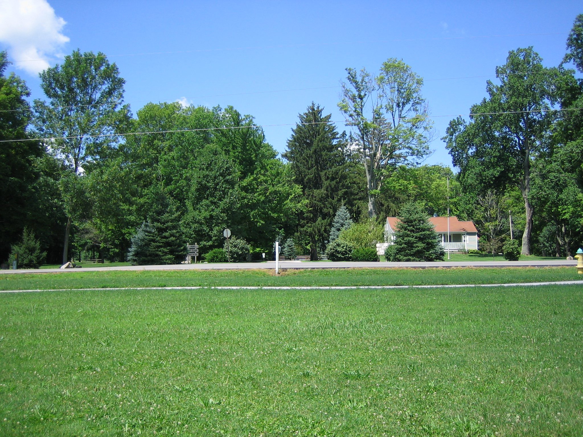
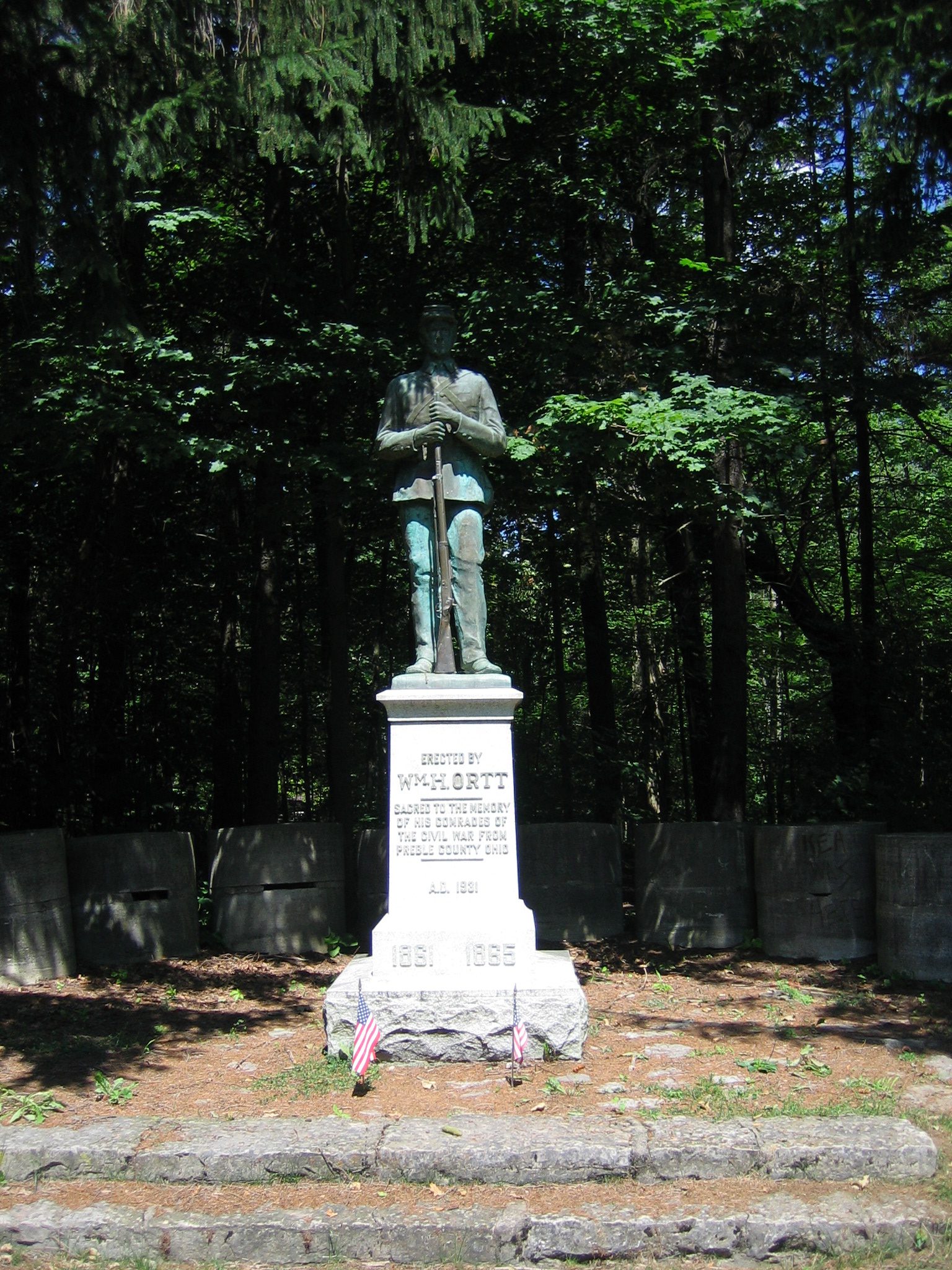
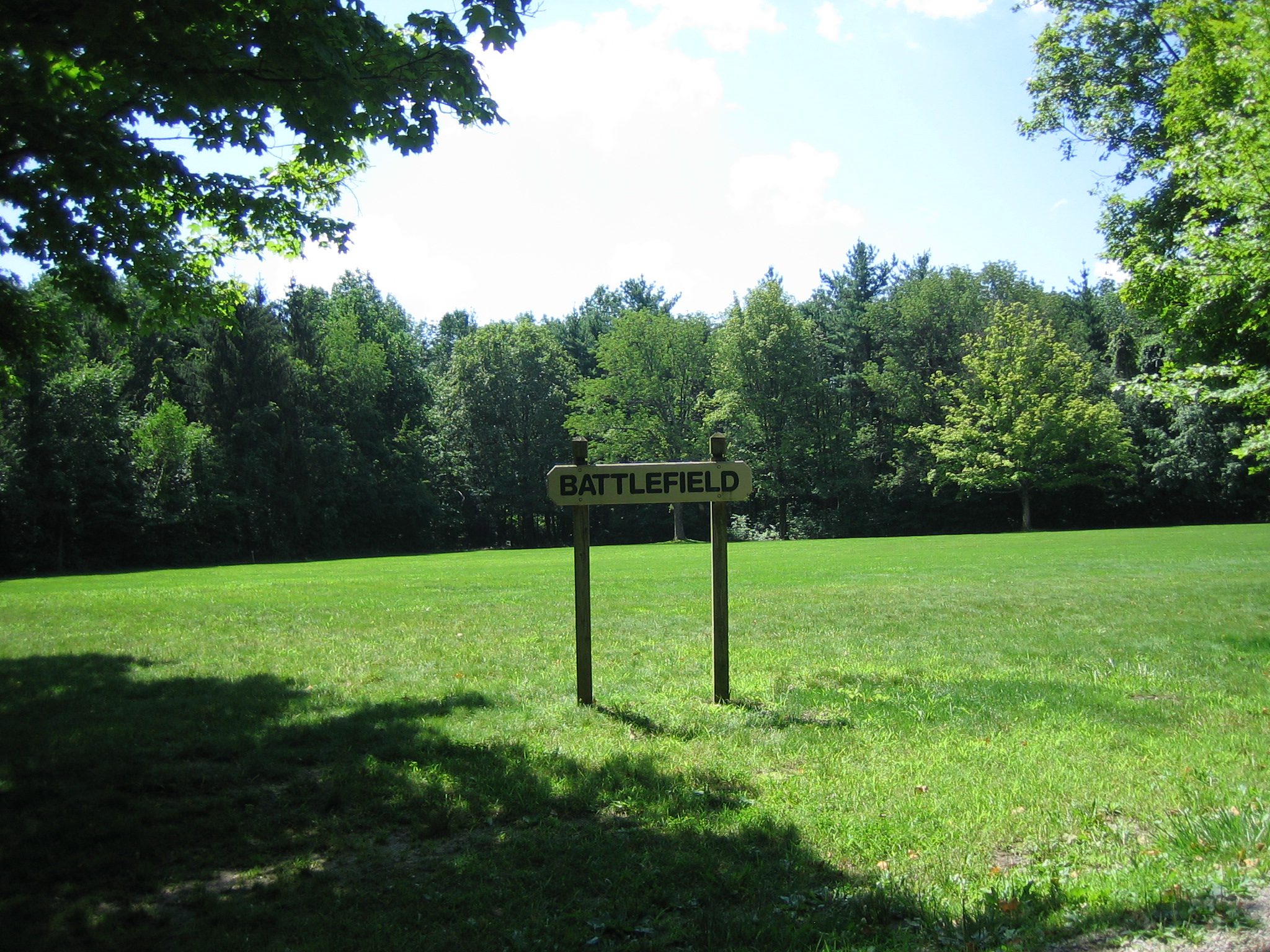
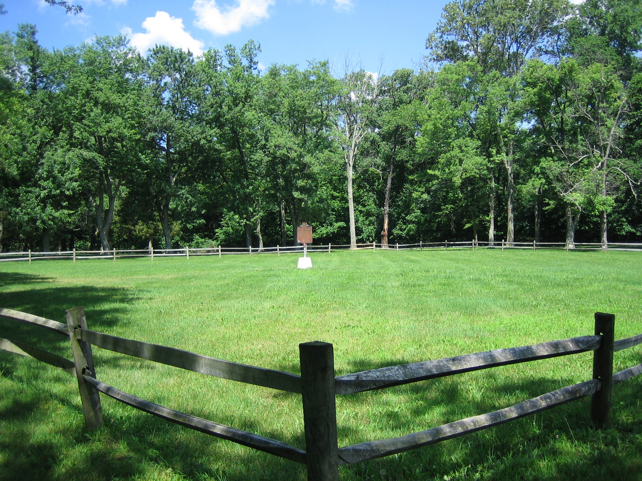
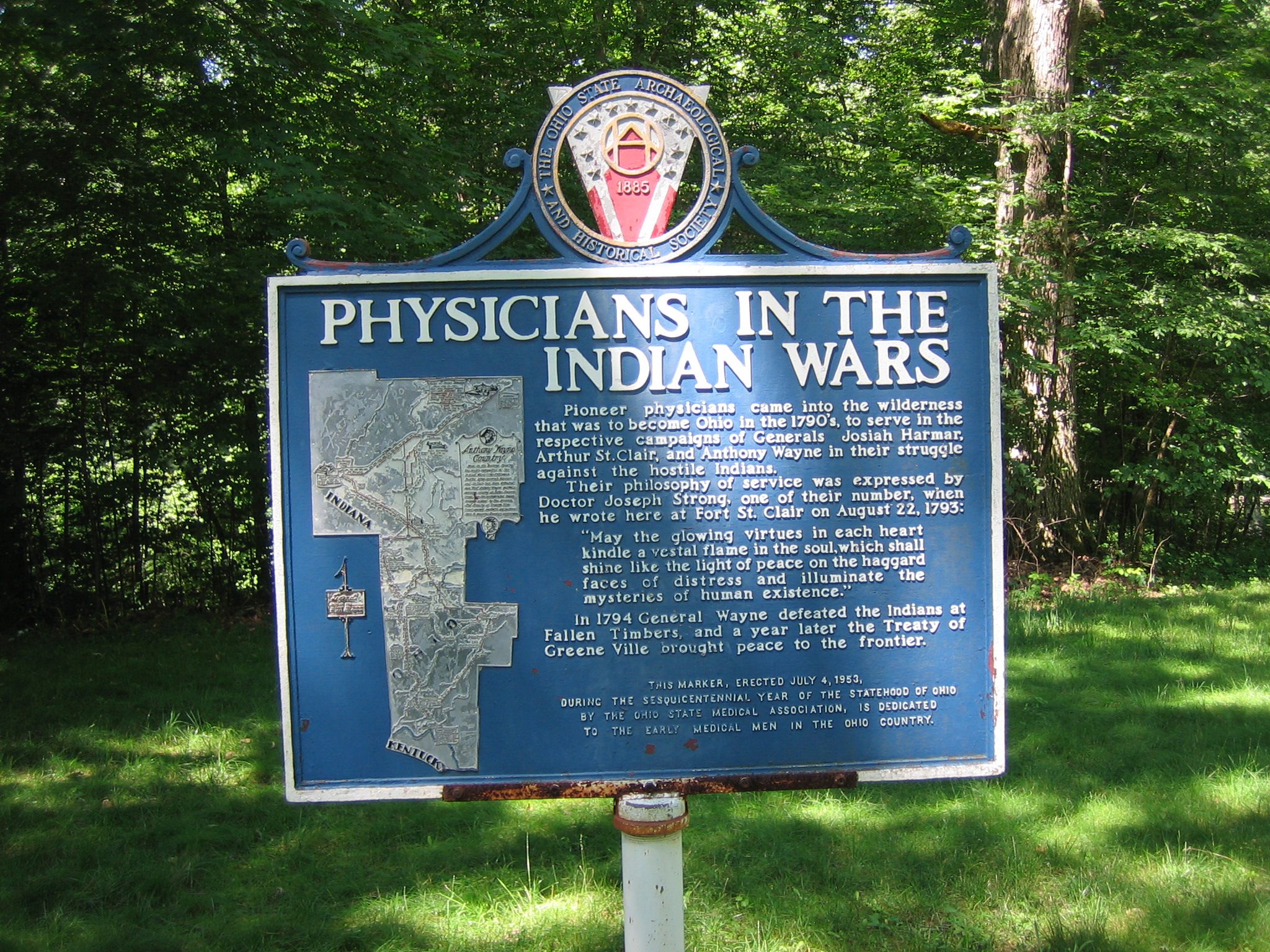
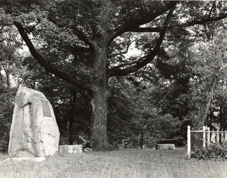
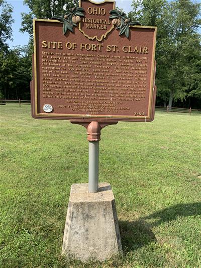
Side A: Regular and militia troops under General James Wilkinson built this supply post and defensive fortification in March 1792 in preparation for Gen. “Mad Anthony” Wayne’s campaign against the Indians of the Northwest Territory, following disastrous expeditions in 1790 and 1791. Built near a “fine spring gushing out of the bank, ” the 120-foot square palisade fort had a four-sided bastion at each corner. Future U.S. president William Henry Harrison served in the detachment that built the fort. On November 6, 1792, Miami Chief Little Turtle and approximately 200 warriors attacked a force of Kentucky militia under Maj. John Adair camped outside the fort. Six Kentuckians and an unknown number of Indians died in the skirmish. The fallen soldiers were buried fifty paces west of the fort, beneath the “Whispering Oak.”
Sponsors: Ohio Bicentennial Commission, The Longaberger Company, Fort St. Clair’s Company of Wayne’s Legion and The Ohio Historical Society