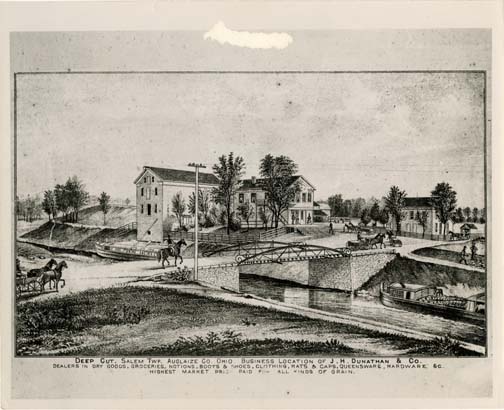
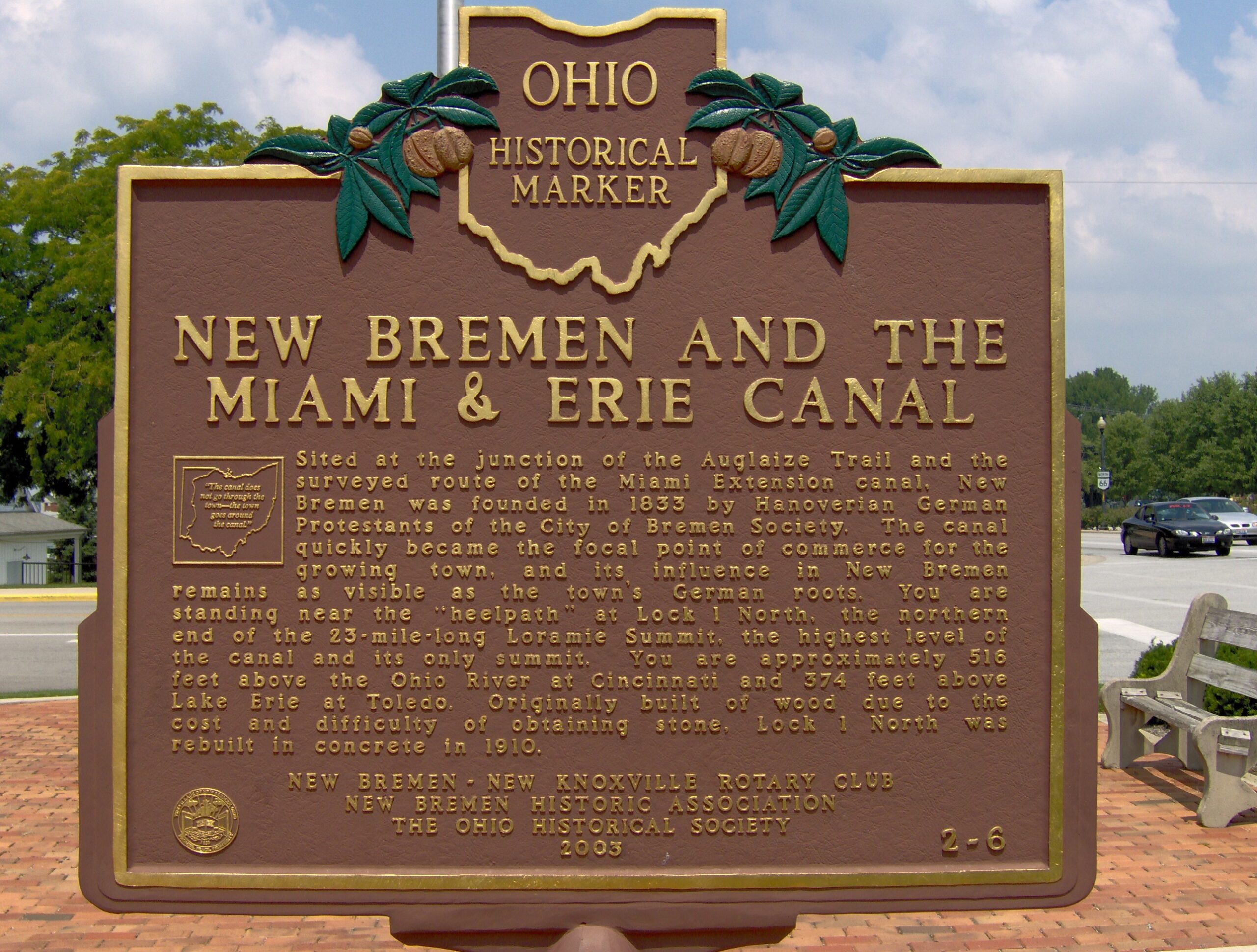
Side A: Begun in 1833, the Miami Extension Canal linked the Miami Canal in Dayton to the Wabash & Erie Canal at Junction. Engineering difficulties, epidemics, and the Panic of 1837 delayed completion of the Extension until June 1845, when the packet boat Banner first navigated the almost 250 miles distance from Cincinnati to Toledo in three days. New Bremen was the northern terminus for a period while work continued northward on the Extension. Designated the Miami & Erie Canal in 1849, it served as the primary avenue of commerce and military transport, and as a “post road” before the railroad era. The Miami & Erie remained in use until 1913, long after the canal era had passed. Along the course of the canal, New Bremen was the approximate midway point between Cincinnati and Toledo.
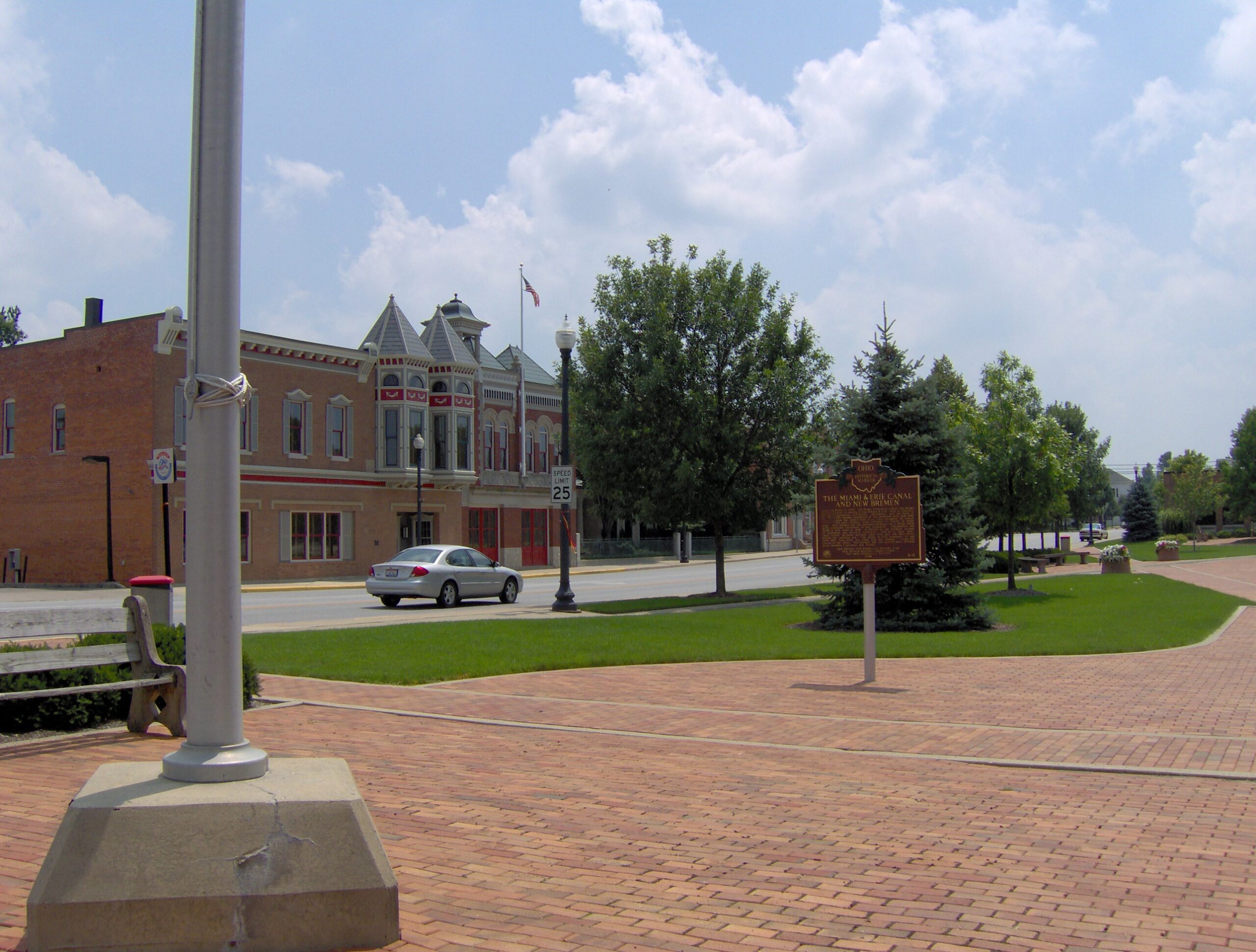
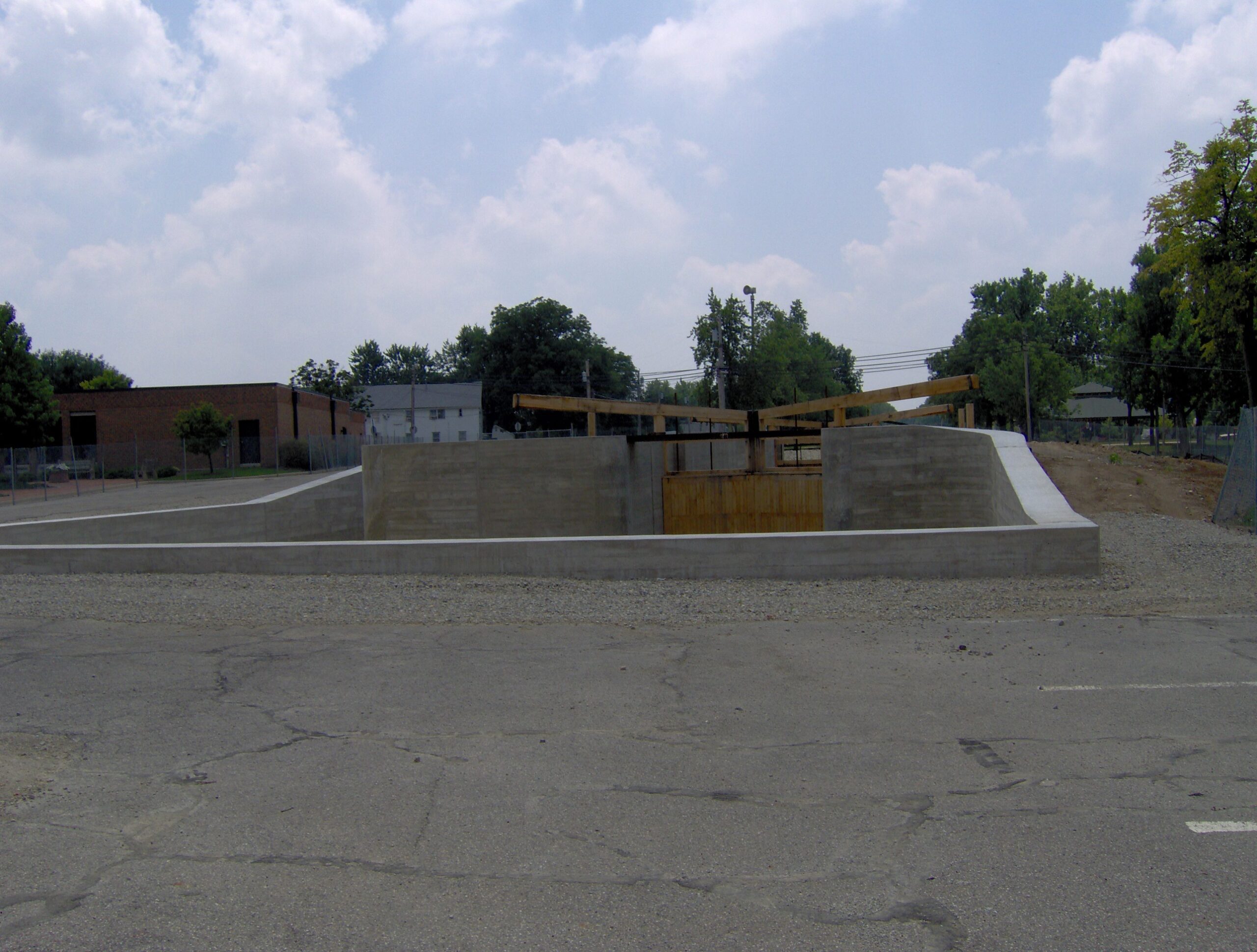
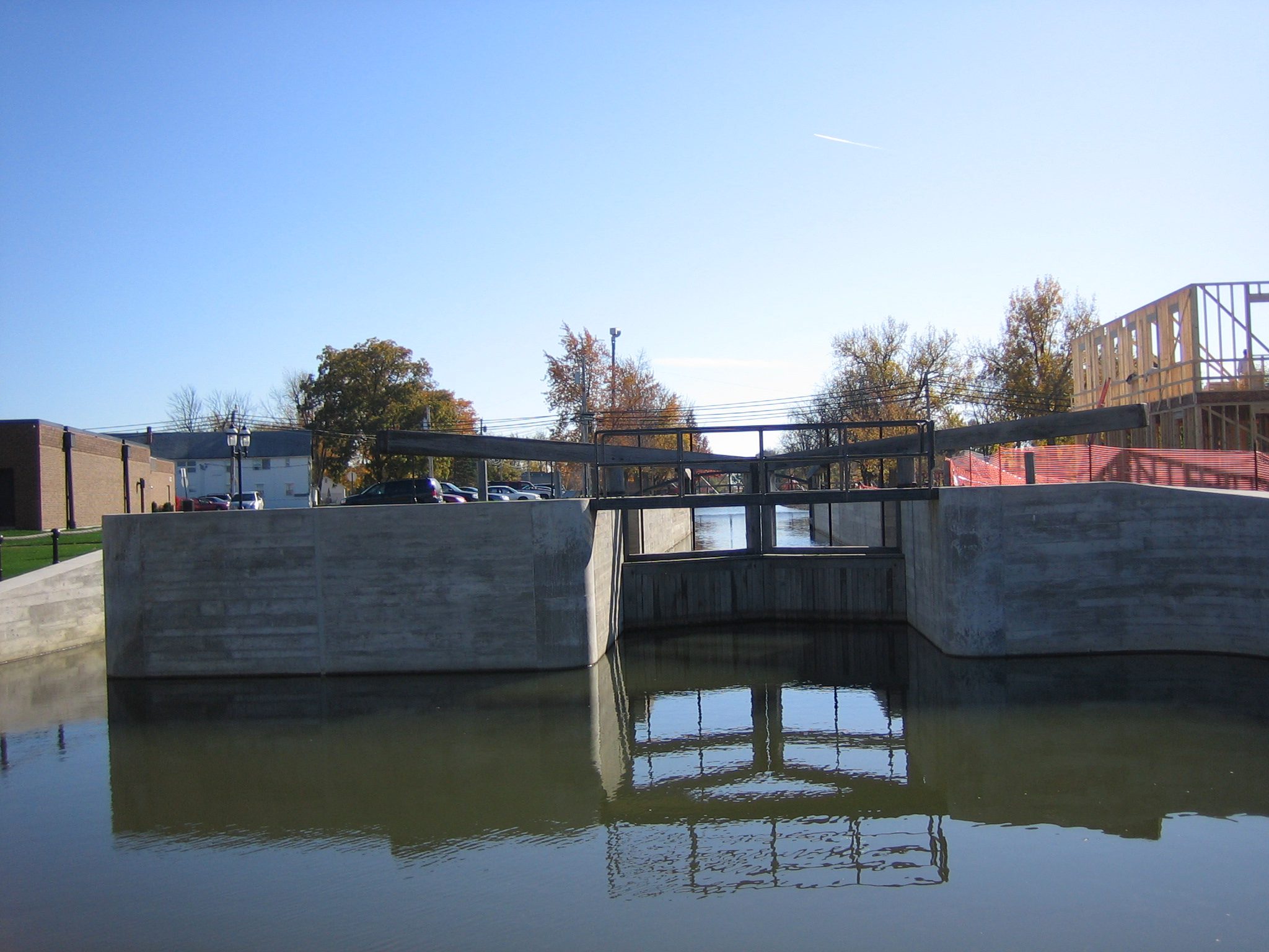
Side B: Sited at the junction of the Auglaize Trail and the surveyed route of the Miami Extension canal, New Bremen was founded in 1833 by Hanoverian German Protestants of the City of Bremen Society. The canal quickly became the focal point of commerce for the growing town, and its influence in New Bremen remains as visible as the town’s German roots. You are standing near the “heelpath” at Lock 1 North, the northern end of the 23-mile-long Loramie Summit, the highest level of the canal and its only summit. You are approximately 516 feet above the Ohio River at Cincinnati and 374 feet above Lake Erie at Toledo. Originally built of wood due to the cost and difficulty obtaining stone, Lock 1 North was rebuilt in concrete circa 1910.
Sponsors: New Bremen-New Knoxville Rotary Club, New Bremen Historic Association, and The Ohio Historical Society