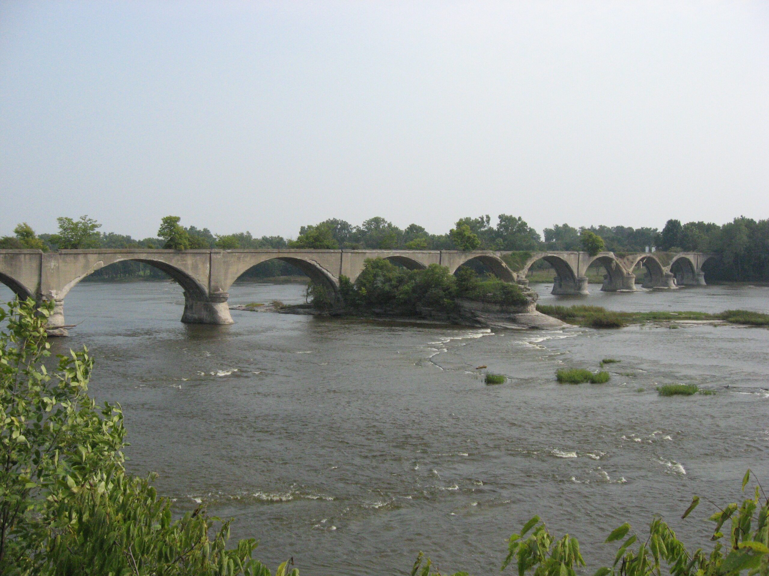
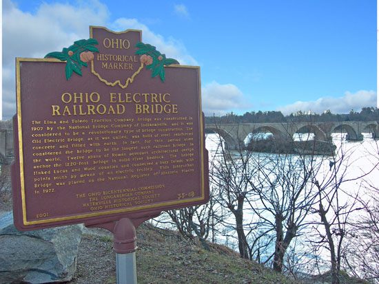
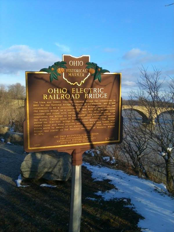
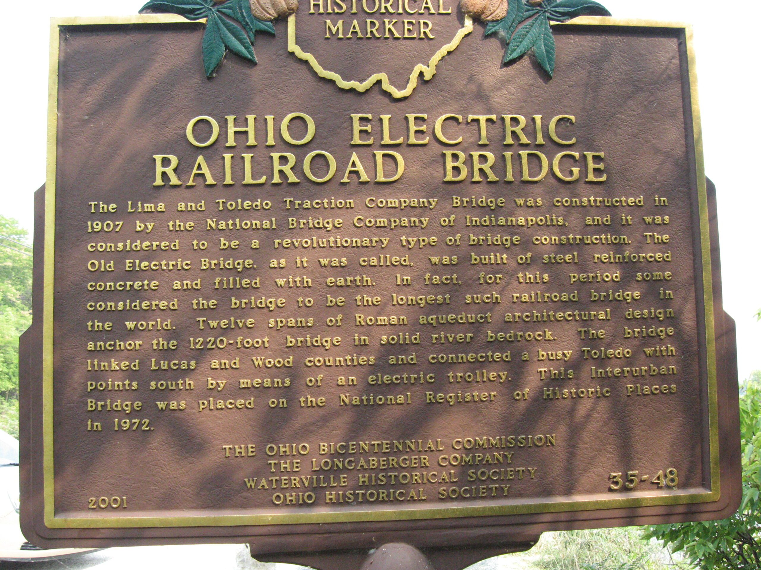
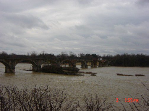
Side A: The Lima and Toledo Traction Company Bridge was construted in 1907 by the National Bridge Company of Indianapolis, and it was considered to be a revolutionary type of bridge construction. The Old Electric Bridge, as it was called, was built of steel reinforced concrete and filled with earth. In fact, for this period some considered the bridge to be the longest such railroad bridge in the world. Twelve spans of Roman aqueduct architectural design anchor the 1220-foot bridge in solid river bedrock. The bridge linked Lucas and Wood counties and connected a busy Toledo with points south by means of an electric trolley. This Interurban Bridge was placed on the National Register of Historic Places in 1972.
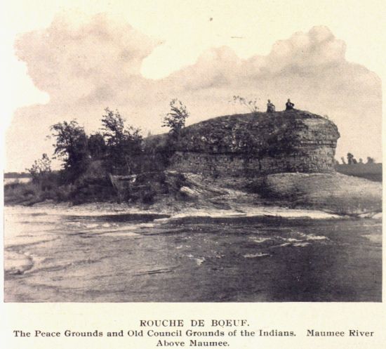
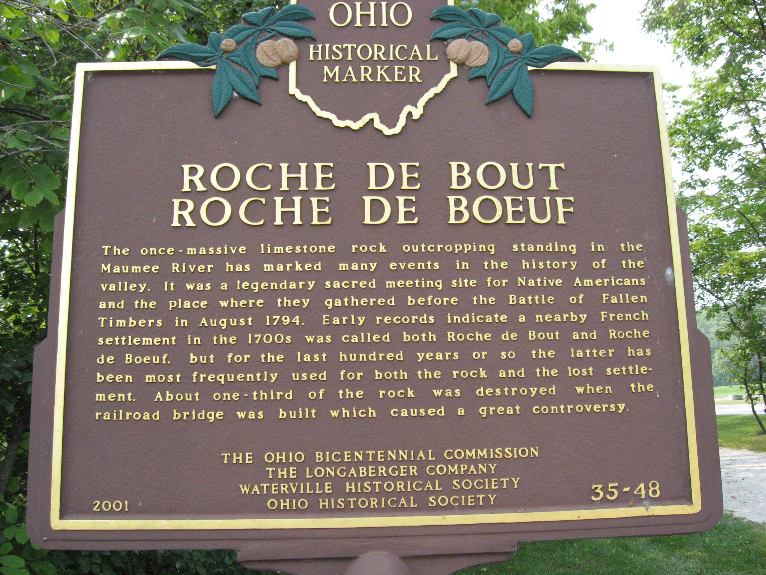
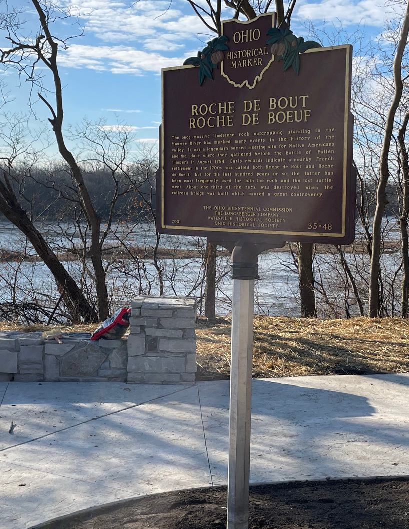
Side B: The once-massive limestone rock outcropping standing in the Maumee River has marked may events in the history of the valley. It was a legendary site for Native Americans and the place where they gathered before the Battle of Fallen Timbers in August 1794. Early records indicate a nearby French settlement in the 1700s was called both Roche de Bout and Roche de Boeuf, but for the last hundred years or so the latter has been most frequently used for both the rock and the lost settlement. About one-third of the rock was destroyed when the railroad bridge was built which caused a great controversy.
Sponsors: Ohio Bicentennial Commission, The Longaberger Company, Waterville Historical Society, and The Ohio Historical Society