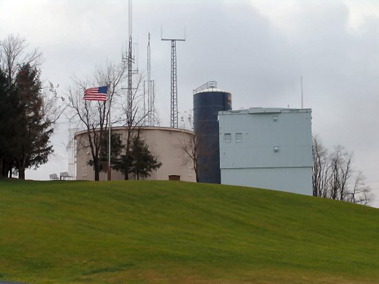
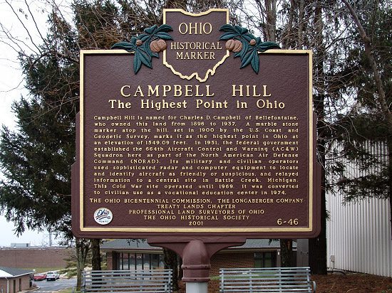
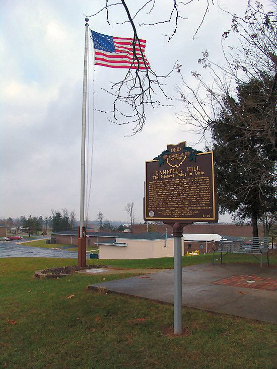
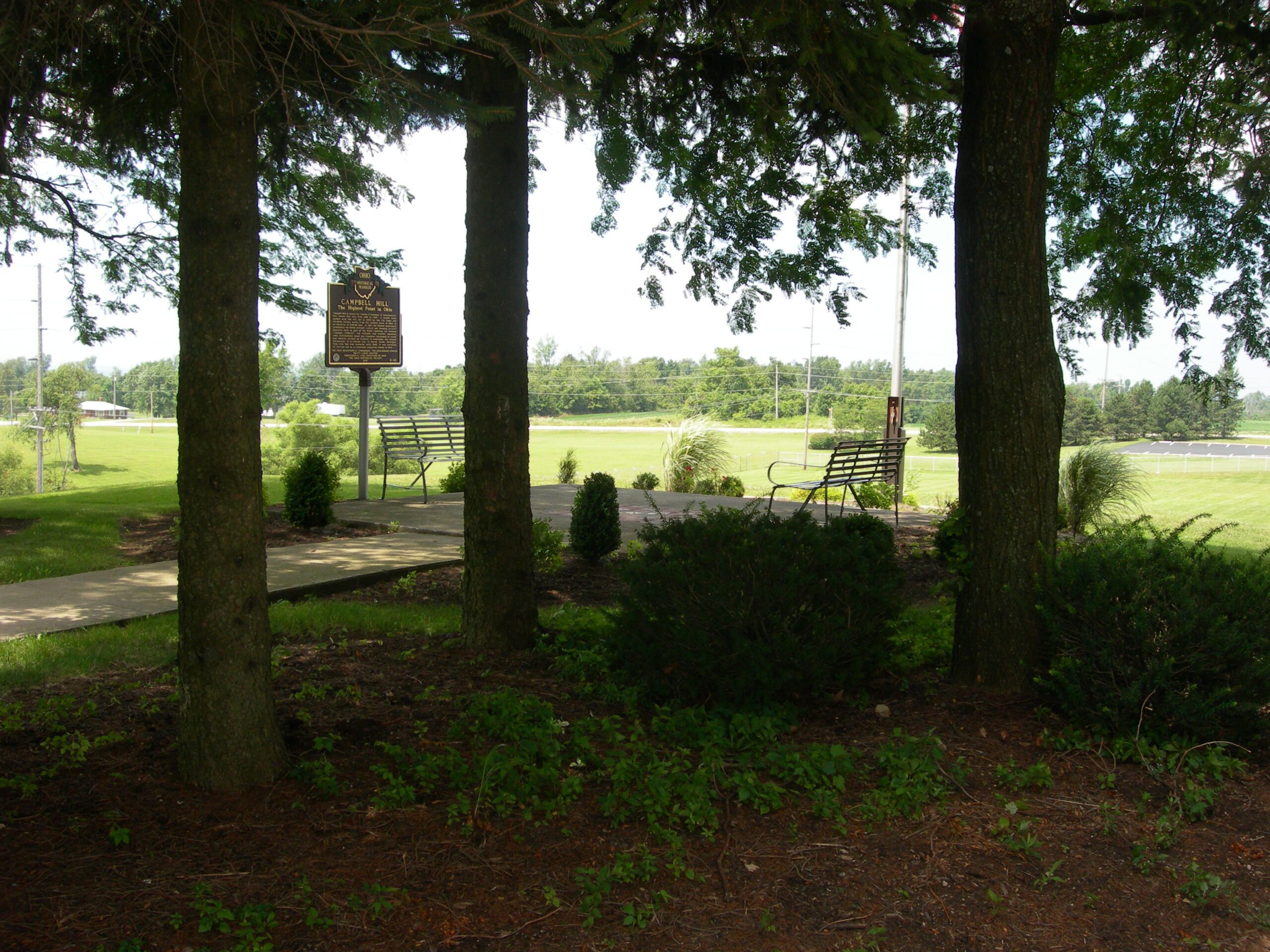
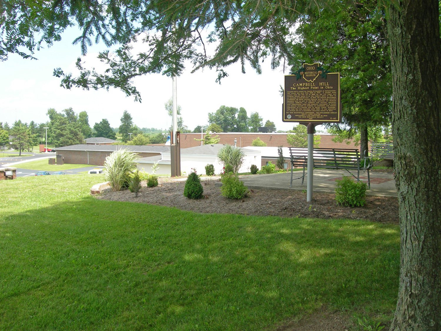
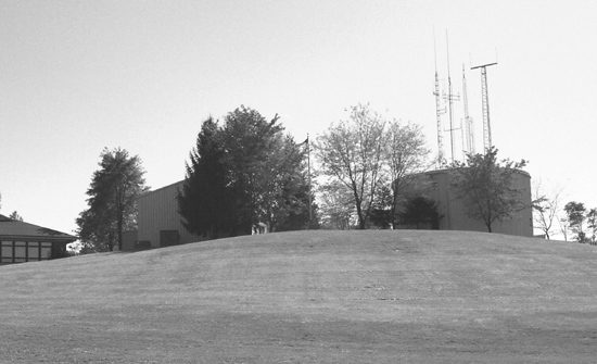
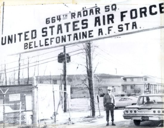
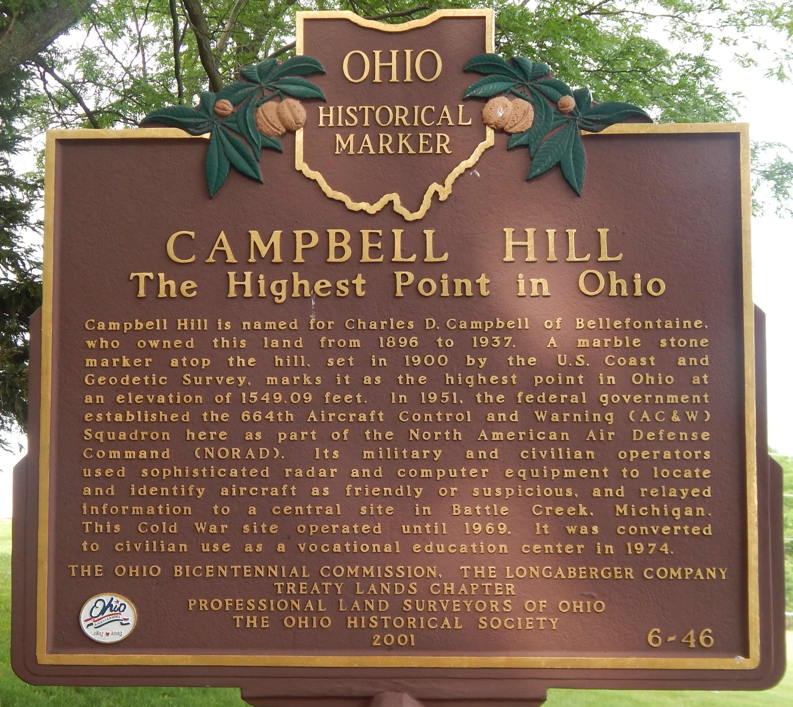
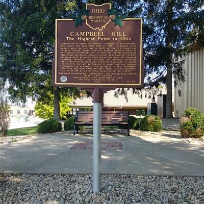
Side A: Campbell Hill is named for Charles D. Campbell of Bellefontaine, who owned this land from 1898 to 1937. A marble stone marker atop the hill, set in 1900 by the U.S. Coast and Geodetic Survey, marks it as the highest point in Ohio at an elevation of 1549.09 feet. In 1951, the federal government established the 664th Aircraft Control and Warning (AC&W) Squadron here as part of the North American Air Defense Command (NORAD). Its military and civilian operators used sophisticated radar and computer equipment to locate and identify aircraft as friendly or suspicious, and relayed information to a central site in Battle Creek, Michigan. This Cold War site operated until 1969. It was converted to civilian use as a vocational education center in 1974.