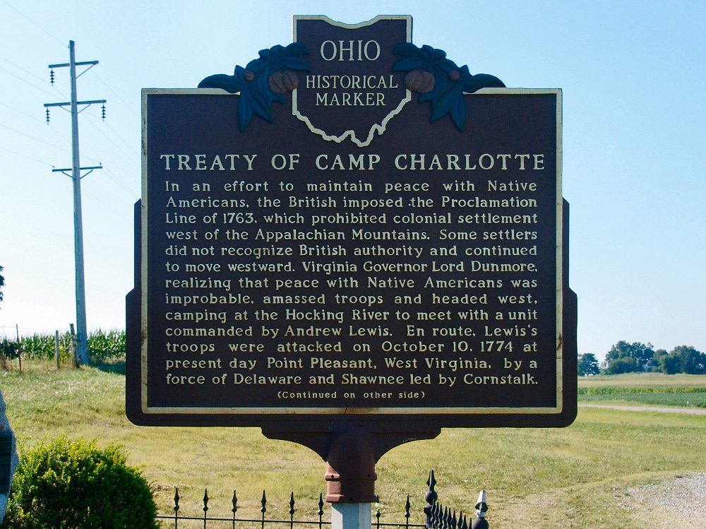
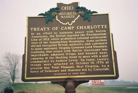
Side A: In an effort to maintain peace with Native Americans, the British imposed the Proclamation Line of 1763, which prohibited colonial settlement west of the Appalachian Mountains. Some settlers did not recognize British authority and continued to move westward. Virginia Governor Lord Dunmore, realizing that peace with Native Americans was improbable, amassed troops and headed west, camping at the Hocking River to meet with a unit commanded by Andrew Lewis. En route, Lewis’s troops were attacked on October 10, 1774 at present day Point Pleasant, West Virginia, by a force of Delaware and Shawnee led by Cornstalk.
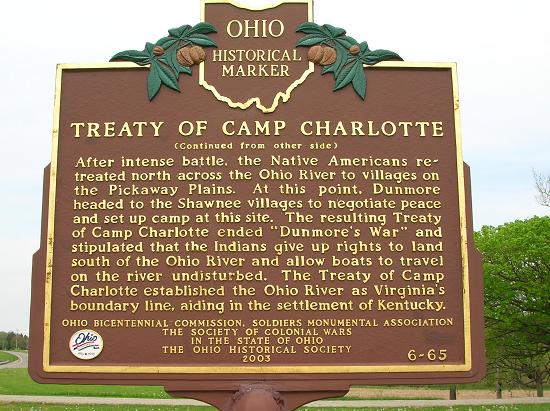
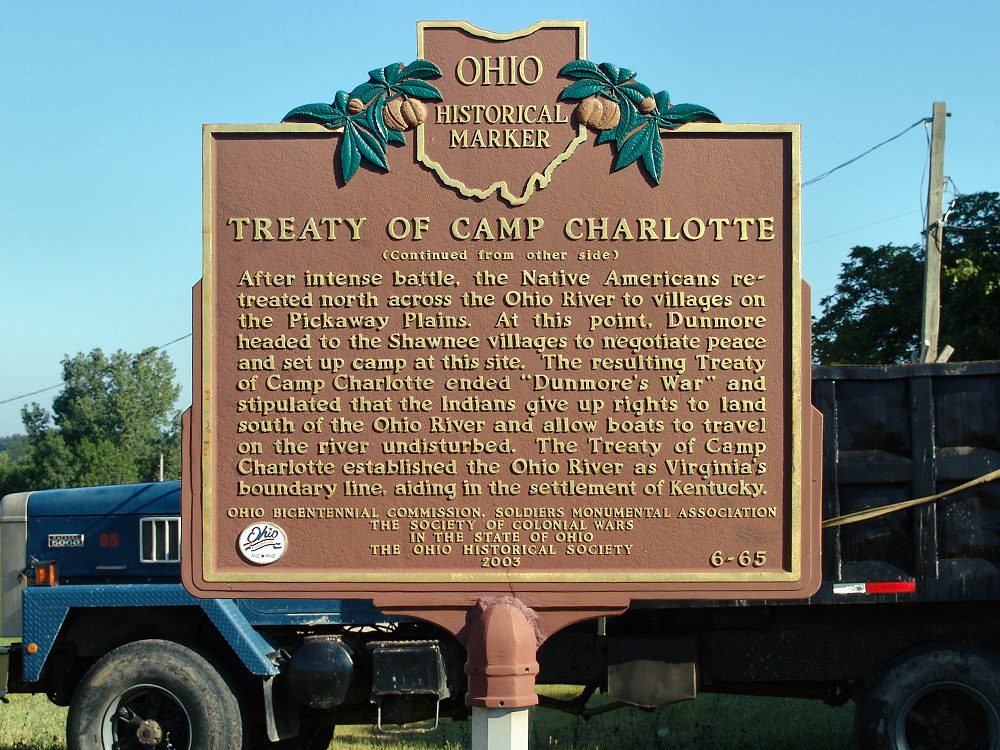
Side B: After intense battle, the Native Americans retreated north across the Ohio River to villages on the Pickaway Plains. At this point, Dunmore headed to the Shawnee villages to negotiate peace and set up camp at this site. The resulting Treaty of Camp Charlotte ended “Dunmore’s War” and stipulated that the Indians give up rights to land south of the Ohio River and allow boats to travel on the river undisturbed. The Treaty of Camp Charlotte established the Ohio River as Virginia’s boundary line, aiding in the settlement of Kentucky.
Sponsors: Ohio Bicentennial Commission, The Longaberger Company, The Society of Colonial Wars in the State of Ohio, and The Ohio Historical Society