Below is a complete listing of all Ohio Historical Markers. To find a detailed marker listing including text, photographs, and locations, click on a county below. Our listing is updated by the markers program as new markers are installed and older markers are reported damaged or missing.
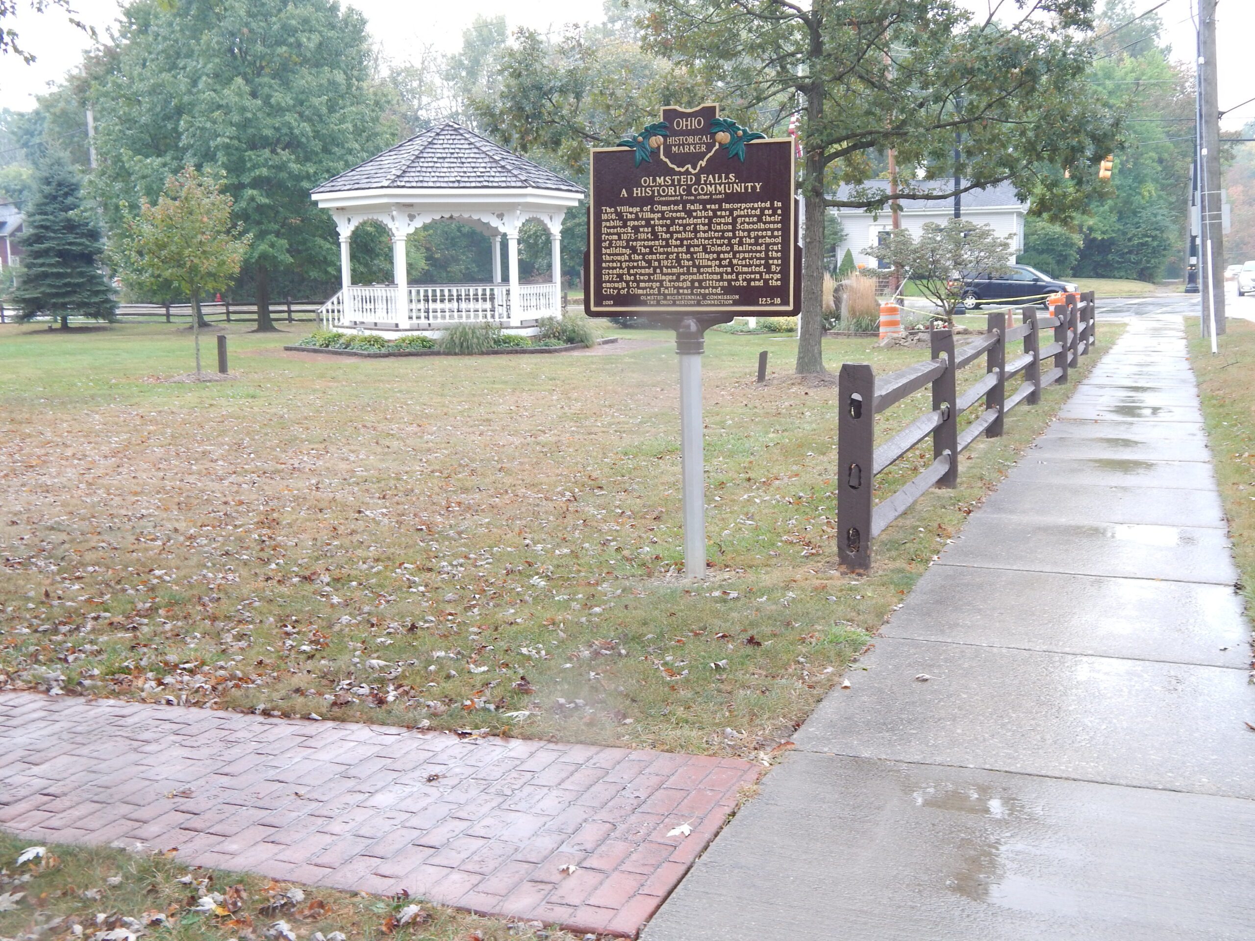
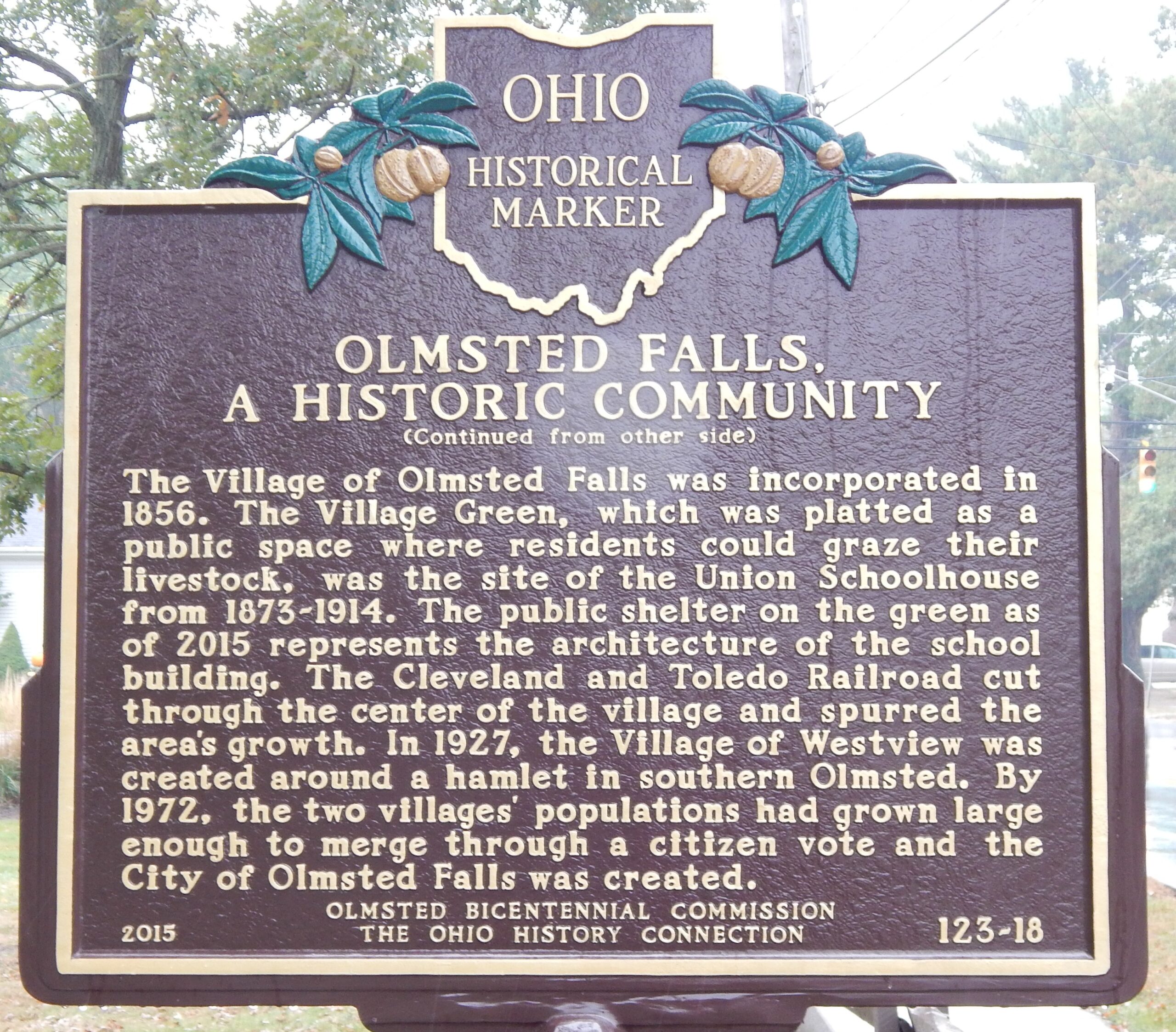
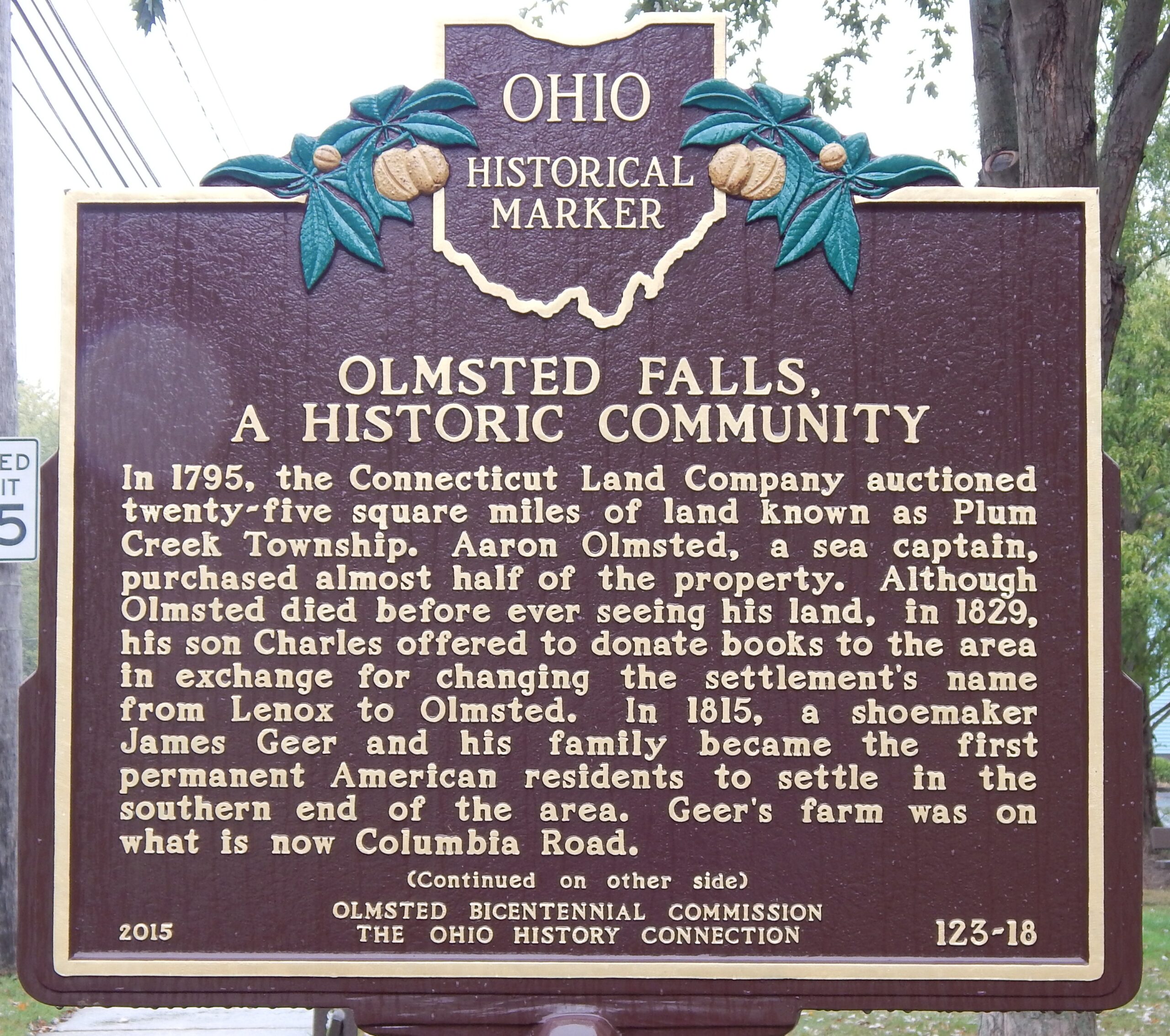
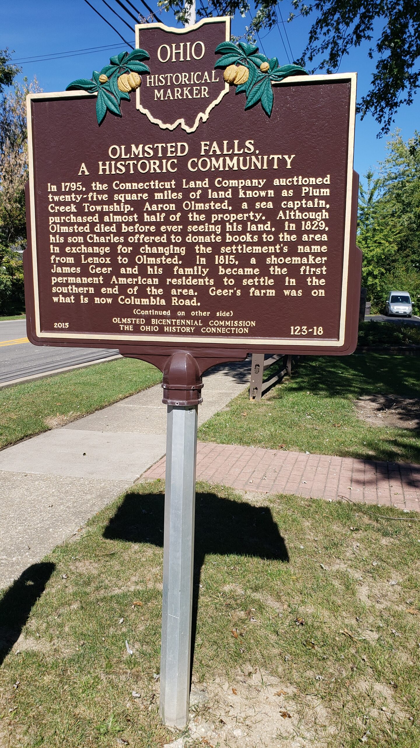
123-18 Olmsted Falls, A Historic Community / Olmsted Falls, A Historic Community
Side A: In 1795, the Connecticut Land Company auctioned twenty-five square miles of land known as Plum Creek Township. Aaron Olmsted, a sea captain, purchased almost half of the property. Although Olmsted died before ever seeing his land, in 1829, his son Charles offered to donate books to the area in exchange for changing the settlement’s name from Lenox to Olmsted. In 1815, shoemaker James Geer and his family became the first permanent American residents to settle in the southern end of the area. Geer’s farm was on what is now Columbia Road.
Side B: The Village of Olmsted Falls was incorporated in 1856. The Village Green, which was platted as a public space where residents could graze their livestock, was the site of the Union Schoolhouse from 1873-1914. The public shelter on the green as of 2015 represents the architecture of the school building. The Cleveland and Toledo Railroad cut through the center of the village and spurred the area’s growth. In 1927, the Village of Westview was created around a hamlet in southern Olmsted. By 1972, the two villages’ populations had grown large enough to merge through a citizen vote and the City of Olmsted Falls was created.