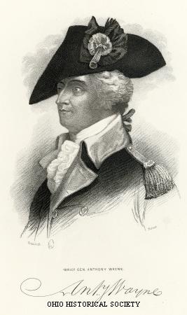
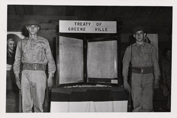
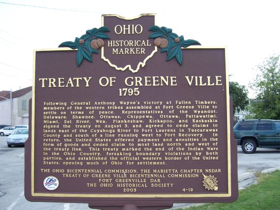
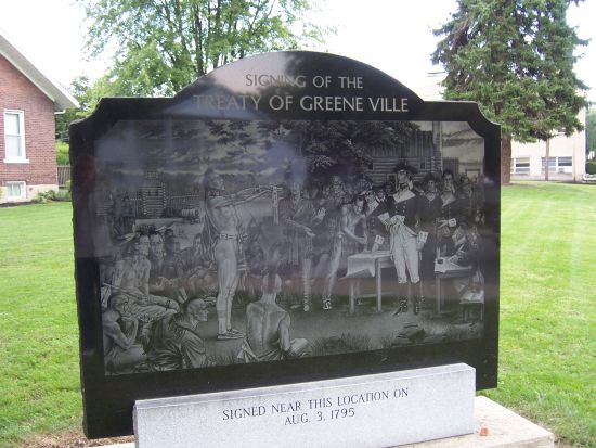
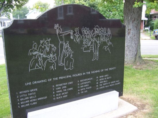
Side A: Following General Anthony Wayne’s victory at Fallen Timbers, members of the western tribes assembled at Fort Greene Ville to settle on terms of peace. Representatives of the Wyandot, Delaware, Shawnee, Ottawas, Chippewa, Ottawa, Patawatimi, Miami, Eel River, Wea, Piankeshaw, Kickapoo, and Kaskaskia signed the treaty on August 3, and agreed to cede claims to lands east of the Cuyahoga River to Fort Laurens in Tuscarawas County and south of a line running west to Fort Recovery. In return, the United States offered payment and annuities in the form of goods and ceded claim to most land north and west of the treaty line. This treaty marked the end of the Indian Wars in the Ohio Country, forsaking boundary violations by both parties, and established the official western border of the United States, opening much of Ohio for settlement.
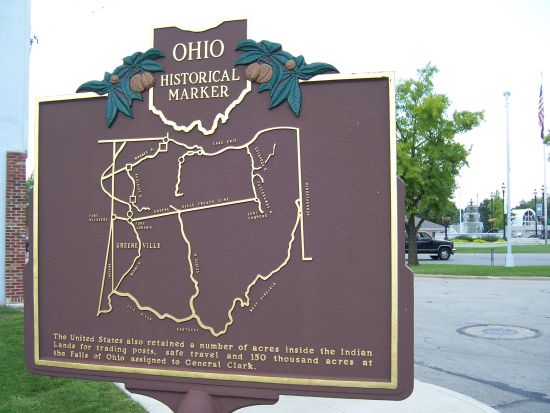
Side B: Reverse: cast artwork (map) The United States also retained a number of acres inside the Indian Lands for trading posts, safe travel and 150 thousand acres at the Falls of Ohio assigned to General Clark.
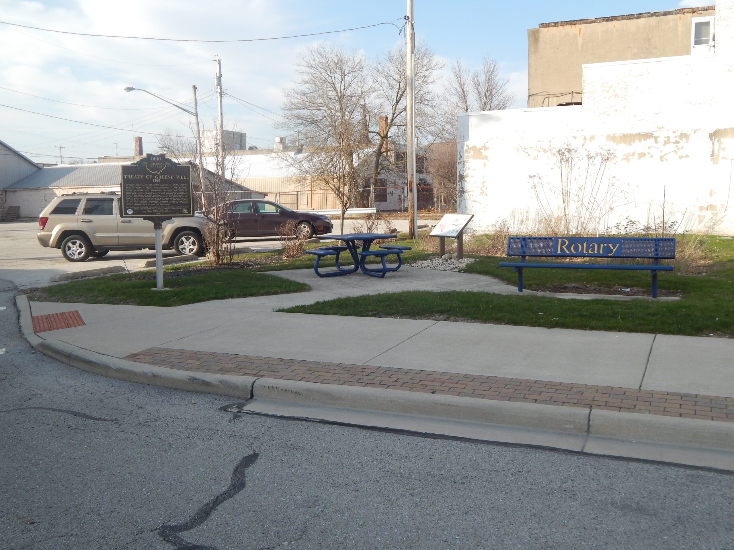
Sponsors: The Ohio Bicentennial Commission, The Marietta Chapter NSDAR, Treat of Greene Ville Bicentennial Commission, Fort Greenville DAR and The Ohio Historical Society