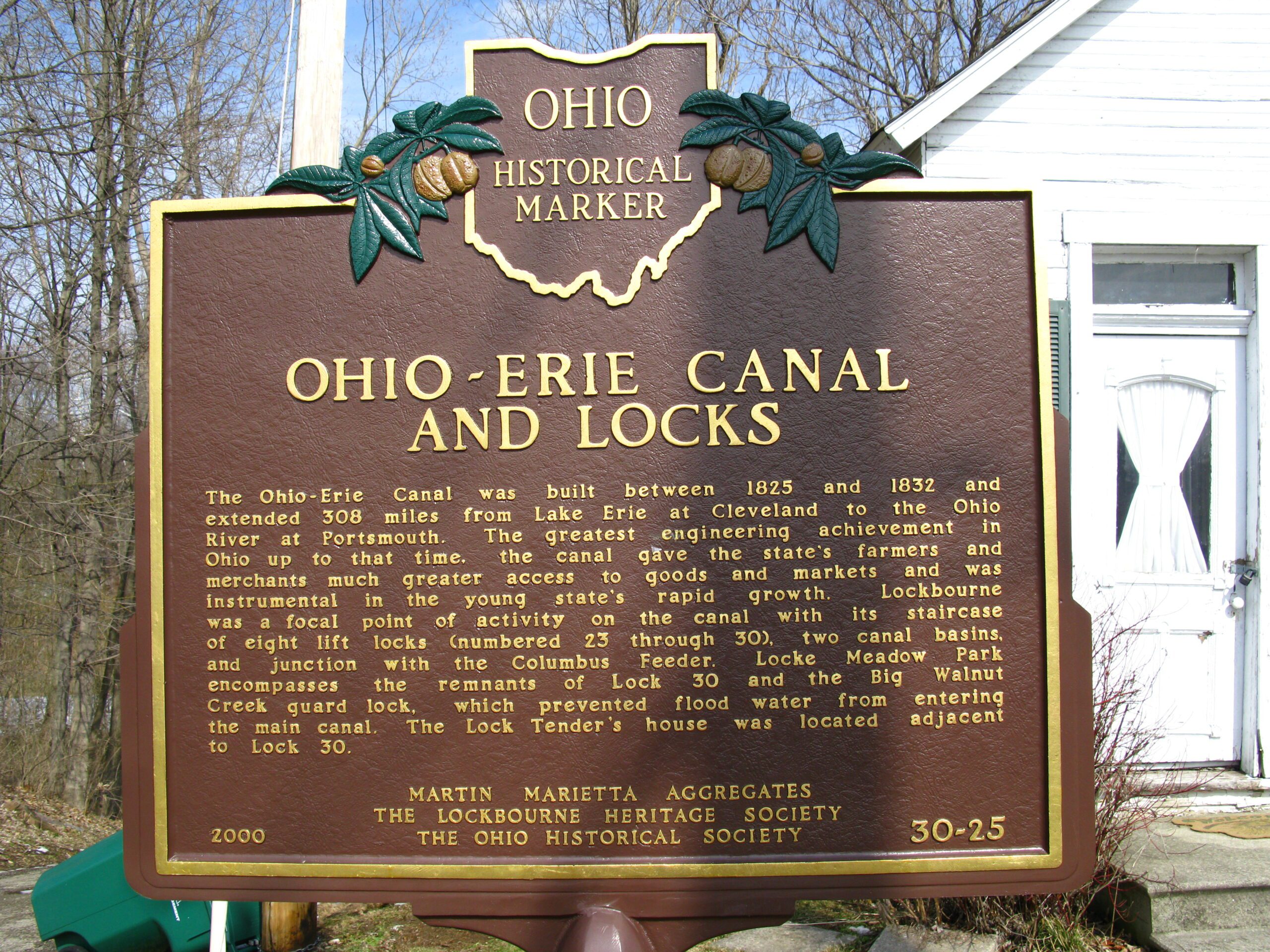
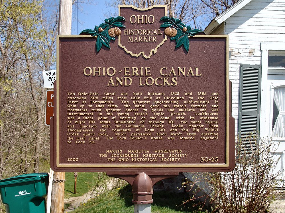
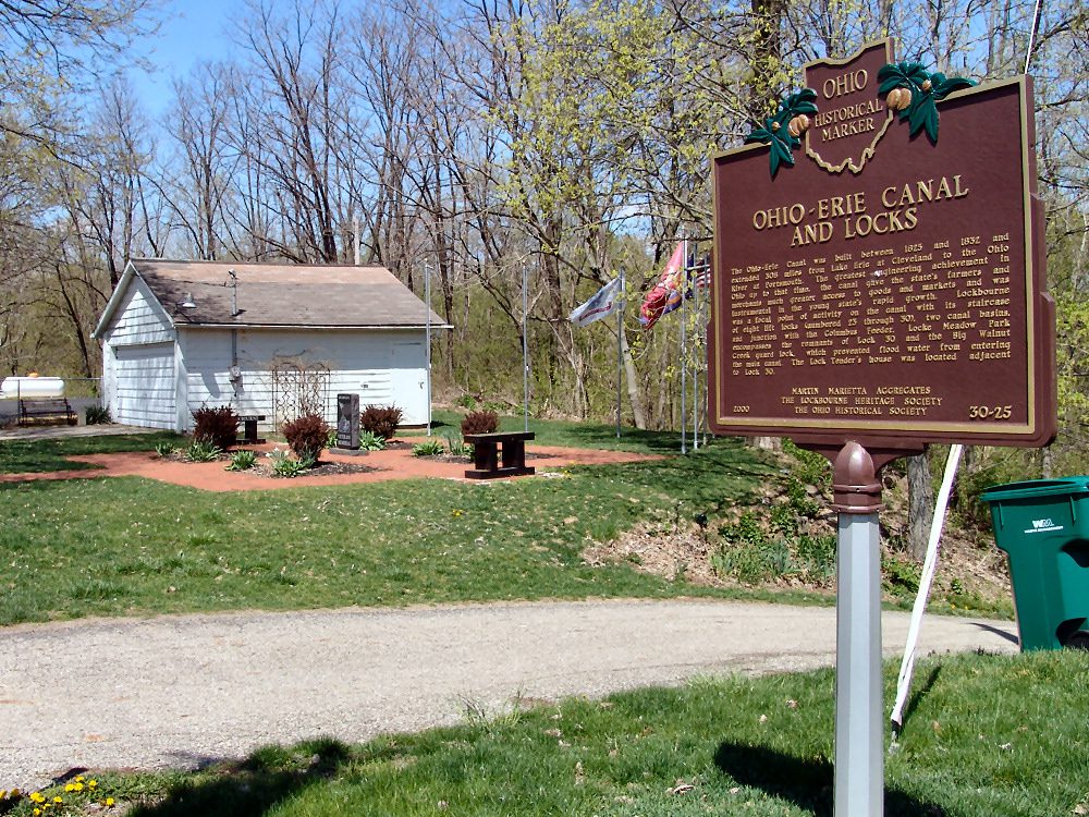
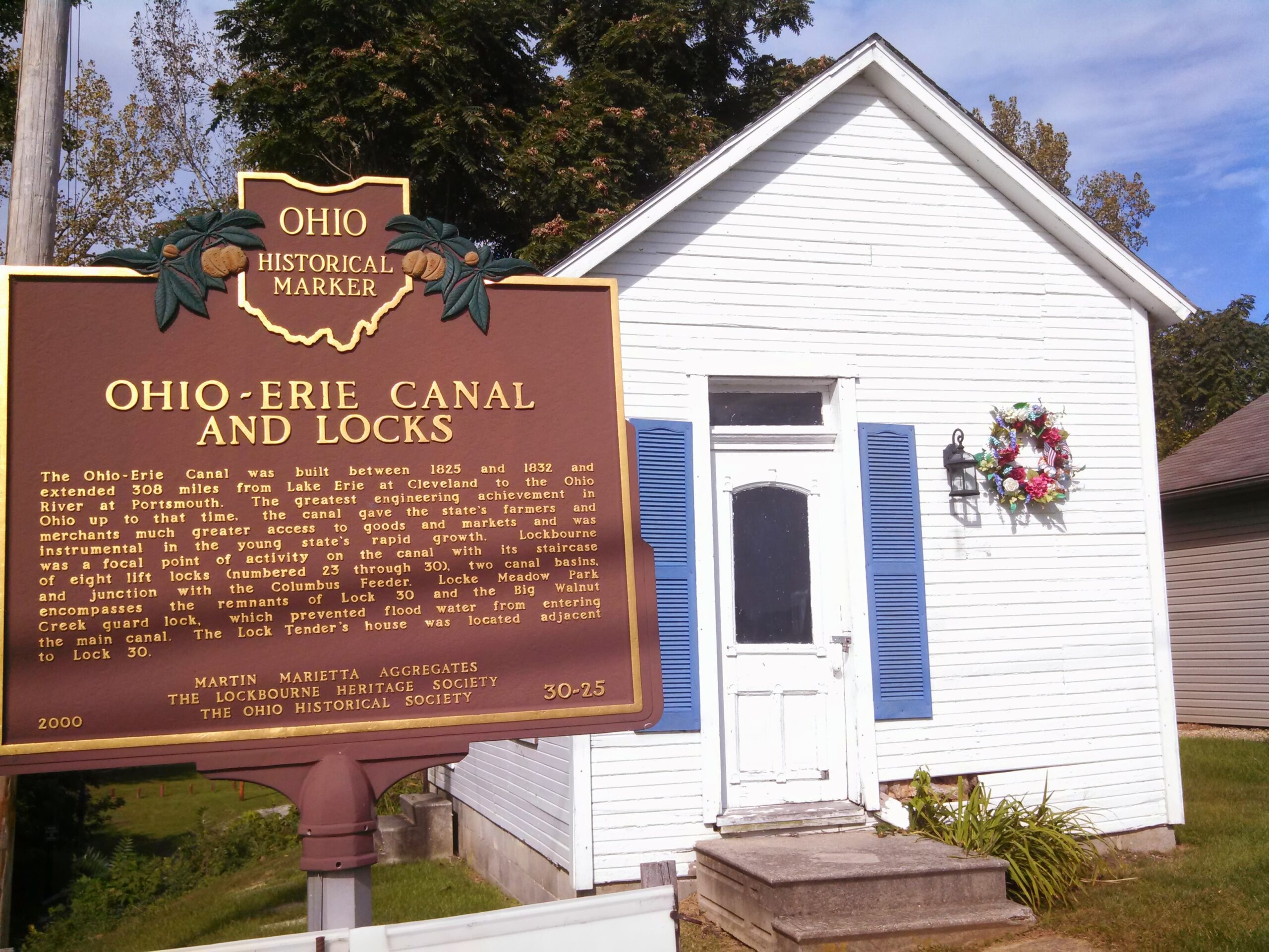
Side A: The Ohio-Erie Canal was built between 1825 and 1832 and extended 308 miles from Lake Erie at Cleveland to the Ohio River at Portsmouth. The greatest engineering achievement in Ohio up to that time, the canal gave the state’s farmers and merchants much greater access to goods and markets and was instrumental in the young state’s rapid growth. Lockbourne was a focal point of activity on the canal with its staircase of eight lift locks (numbered 23 through 30), two canal basins, and junction with the Columbus Feeder. Locke Meadow Park encompasses the remnants of Lock 30 and the Big Walnut Creek guard lock, which prevented flood water from entering the main canal. The Lock Tender’s house was located adjacent to Lock 30.
Side B: In order to connect the state capital to the Ohio-Erie Canal and provide a dependable supply of water for this section, engineers began to survey an eleven-mile navigable feeder from the Scioto River in Columbus in 1824. Groundbreaking ceremonies took place in Columbus on April 30, 1827, with the Granville Company receiving the contract for all masonry work in the Lockbourne area on both the main canal and the feeder. The first canal boat arrived in Columbus on September 23, 1831. Boats ascending the Columbus Feeder crossed Big Walnut Creek through a slackwater pool above the “state dam,” then traversed the lift lock. With a fourteen-foot difference in elevation between Columbus and Lockbourne, the canal required just two lift locks; the other was located four miles below the terminus. The last canal boat left Columbus in 1904.
Sponsors: Martin Marietta Aggregates, The Lockbourne Heritage Society, and The Ohio Historical Society