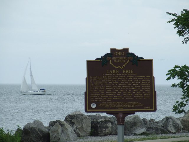
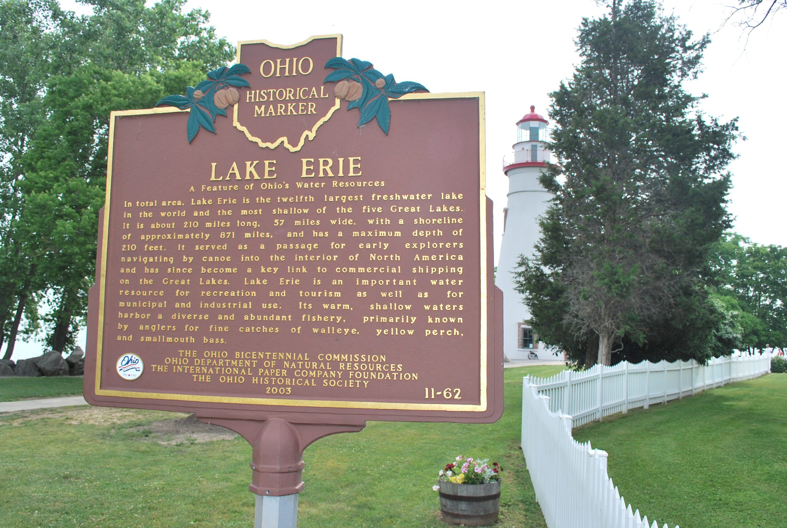
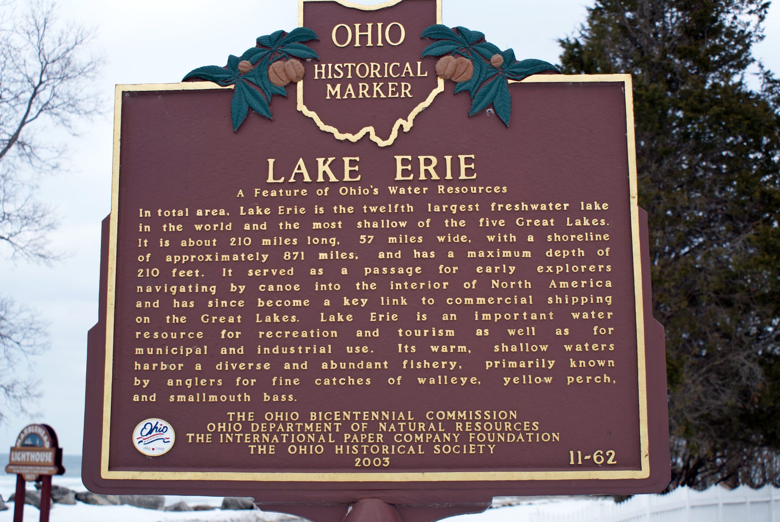
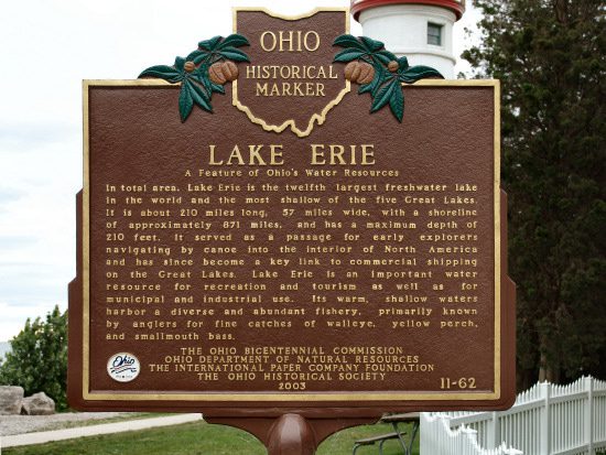
Side A: In total area, Lake Erie is the twelfth largest freshwater lake in the world and the most shallow of the five Great Lakes. It is about 210 miles long, 57 miles wide, with a shoreline of approximately 871 miles, and has a maximum depth of 210 feet. It served as a passage for early explorers navigating by canoe into the interior of North America and has since become a key link to commercial shipping on the Great Lakes. Lake Erie is an important water resource for recreation and tourism as well as for municipal and industrial use. Its warm, shallow waters harbor a diverse and abundant fishery, primarily known by anglers for fine catches of walleye, yellow perch, and smallmouth bass.
Sponsors: The Ohio Bicentennial Commission, Ohio Department of Natural Resources, The International Paper Company Foundation, and The Ohio Historical Society