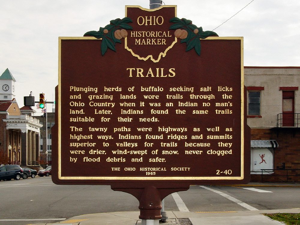
Side A: Plunging herds of buffalo seeking salt licks and grazing lands wore trails through the Ohio Country when it was an Indian no-man’s land. Later, Indians found the same trails suitable for their needs. The tawny paths were highways as well as highest ways. Indians found ridges and summits superior to valleys for trails because they were drier, windswept of snow, never clogged by flood debris and safer.
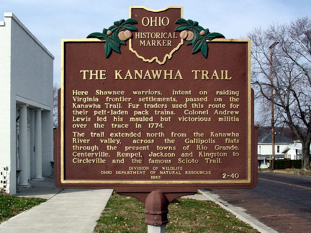
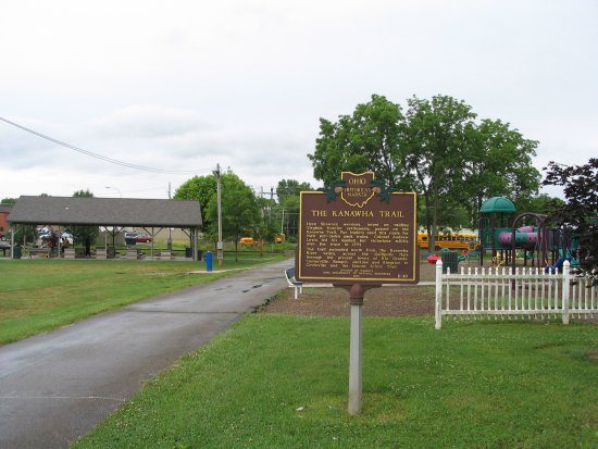
Side B: Here Shawnee warriors, intent on raiding Virginia frontier settlements, passed on the Kanawha Trail. Fur traders used this route for their pelt-laden pack trains. Colonel Andrew Lewis led his mauled but victorious militia over the traces in 1774. The trail extended north from the Kanawha River valley, across the Gallipolis flats through the present towns of Rio Grande, Centerville, Remple, Jackson, and Kingston to Circleville and the famous Scioto Trail.
Sponsors: Division of Wildlife, Ohio Department of Natural Resources, and The Ohio Historical Society