Below is a complete listing of all Ohio Historical Markers. To find a detailed marker listing including text, photographs, and locations, click on a county below. Our listing is updated by the markers program as new markers are installed and older markers are reported damaged or missing.
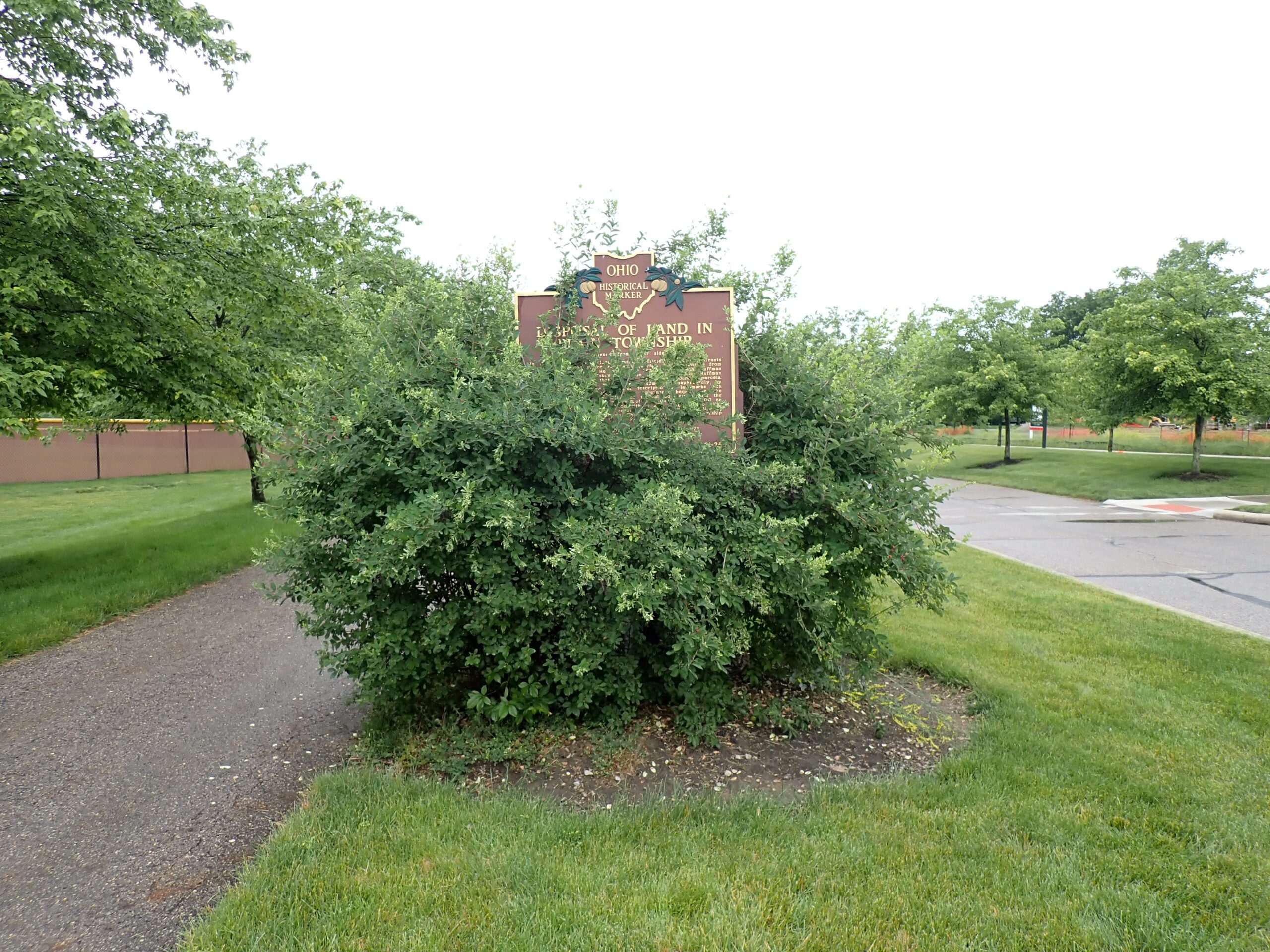
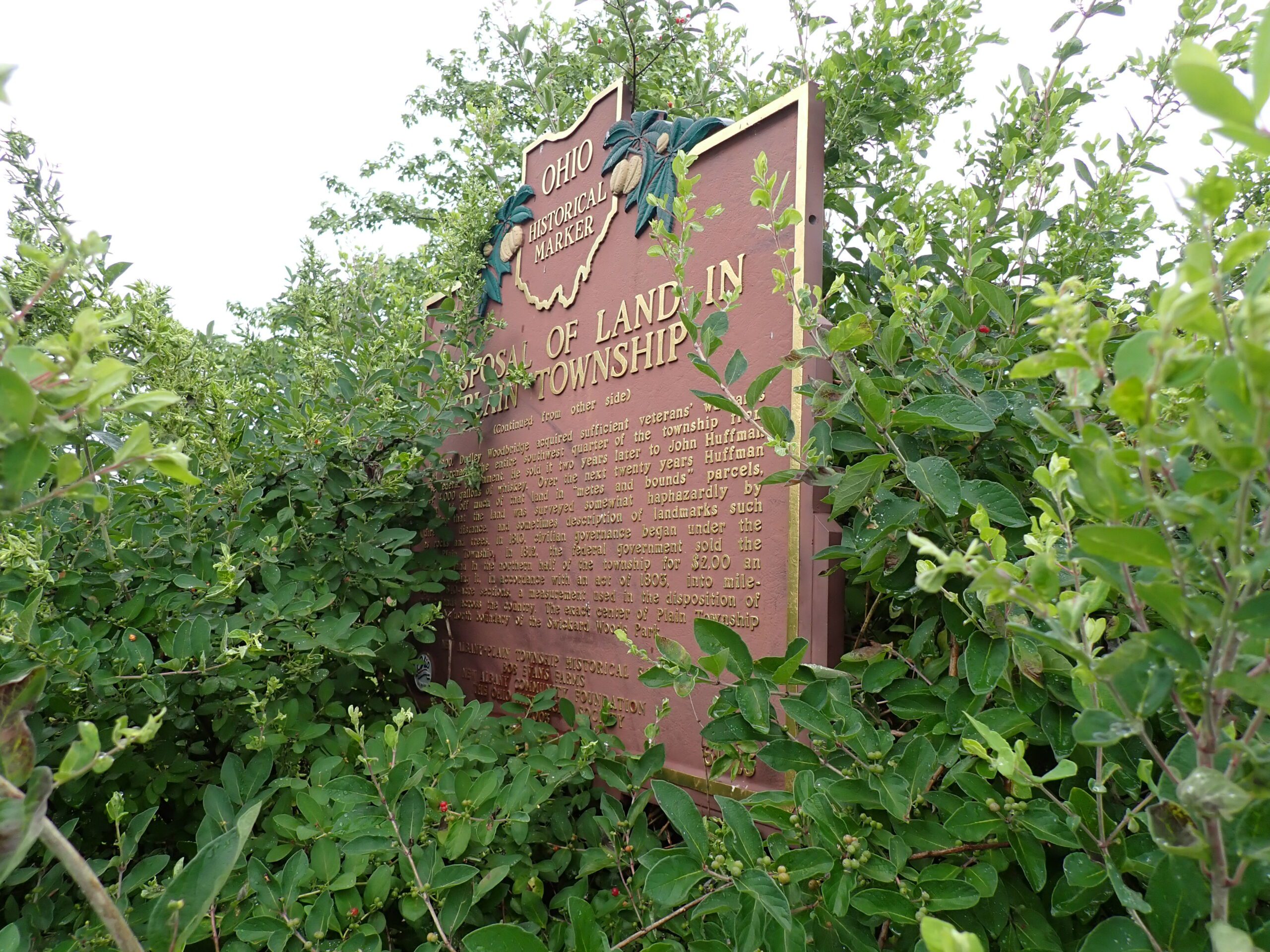
ALERT: Marker obscured by overgrown bush. May be difficult to find.
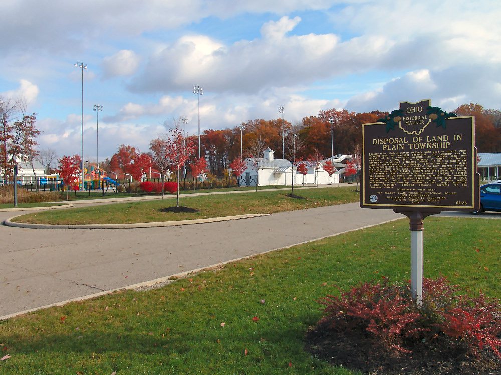
61-25 Disposal of Land in Plain Township
Side A: Because three distinct survey methods were used to survey Plain Township lands and are still meaningful, the township can be thought of as a surveyor’s museum. The township came into existence by a 1796 act of Congress in which the federal government established a Military District of Ohio to satisfy the claims of Revolutionary War veterans. The act divided the district into townships five miles square divided into four quarter-sections containing 4,000 acres each. These boundaries were surveyed in 1797 after the Battle of Fallen Timbers and the subsequent Treaty of Greenville, which forced Indian removal. Because a veteran was entitled to 100 acres, the southeast quarter of the township was surveyed into 40 hundred-acre lots. From 1801 to 1805, veterans, their heirs, and assignees, none of whom settled permanently in the township, claimed 24 lots. Abijah Holbrook, a land speculator, acquired veterans’ warrants for the remaining sixteen. (continued on other side)
Side B: (continued from other side) In 1800, Dudley Woodbridge acquired sufficient veterans’ warrants and purchased the entire southwest quarter of the township from the federal government. He sold it two years later to John Huffman for 4,000 gallons of whiskey. Over the next twenty years Huffman then sold off much of that land in “metes and bounds” parcels, meaning that the land was surveyed somewhat haphazardly by direction, distance, and sometimes description of landmarks such as rocks and trees. In 1810, civilian governance began under the name Plain Township. In 1812, the federal government sold the unclaimed land in the northern half of the township for $2.00 an acre, surveying it, in accordance with an act of 1803, into mile-square, 640-acre sections, a measurement used in the disposition of public lands across the country. The exact center of Plain Township lies on the north boundary of the Swickard Woods Park.