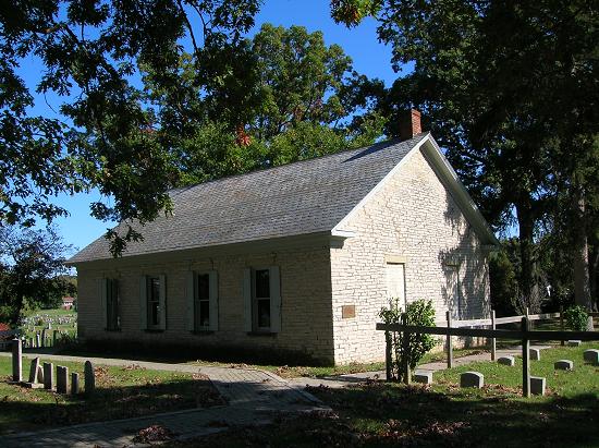
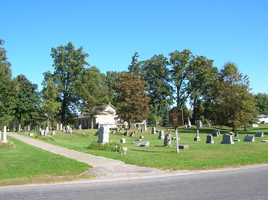
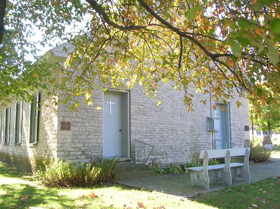
Side A: The 1817 Treaty of Fort Meigs opened much of northwest Ohio to white settlement. In return, the U.S. Government granted the Wyandot Nation permanent use of the Grand Reserve at present-day Upper Sandusky. There farming continued, a school was built, and, in 1824, this Mission Church was constructed by Indians and Methodist missionaries. However, the Indian Removal Act of 1830 called for relocation of all eastern Native Americans to areas beyond the Mississippi River. By 1840, all Ohio Indians had been removed except for the Wyandot, who refused to leave, preferring instead to stay upon their beloved Sandusky (now known as Killdeer) Plains. Facing considerable pressure from Federal authorities, the Wyandot Nation in 1842 agreed to relinquish the Grand Reserve and move west. From this site on July 12, 1843, 664 individuals began their week-long journey to awaiting steamboats at Cincinnati. The Wyandot were the last organized Native American people to leave Ohio, settling in modern-day Kansas and Oklahoma. (Continued on side two)
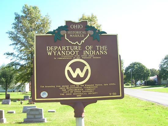
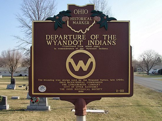
Side B: (Continued from side one) In remembrance of the Wyandot Indians. (Engraving of enclosed artwork; the Wyandot branding iron design) The branding iron design used by the Wyandot Nation, late 1700s.
Sponsors: Ohio Bicentennial Commission, The Longaberger Company, City of Upper Sandusky, and The Ohio Historical Society