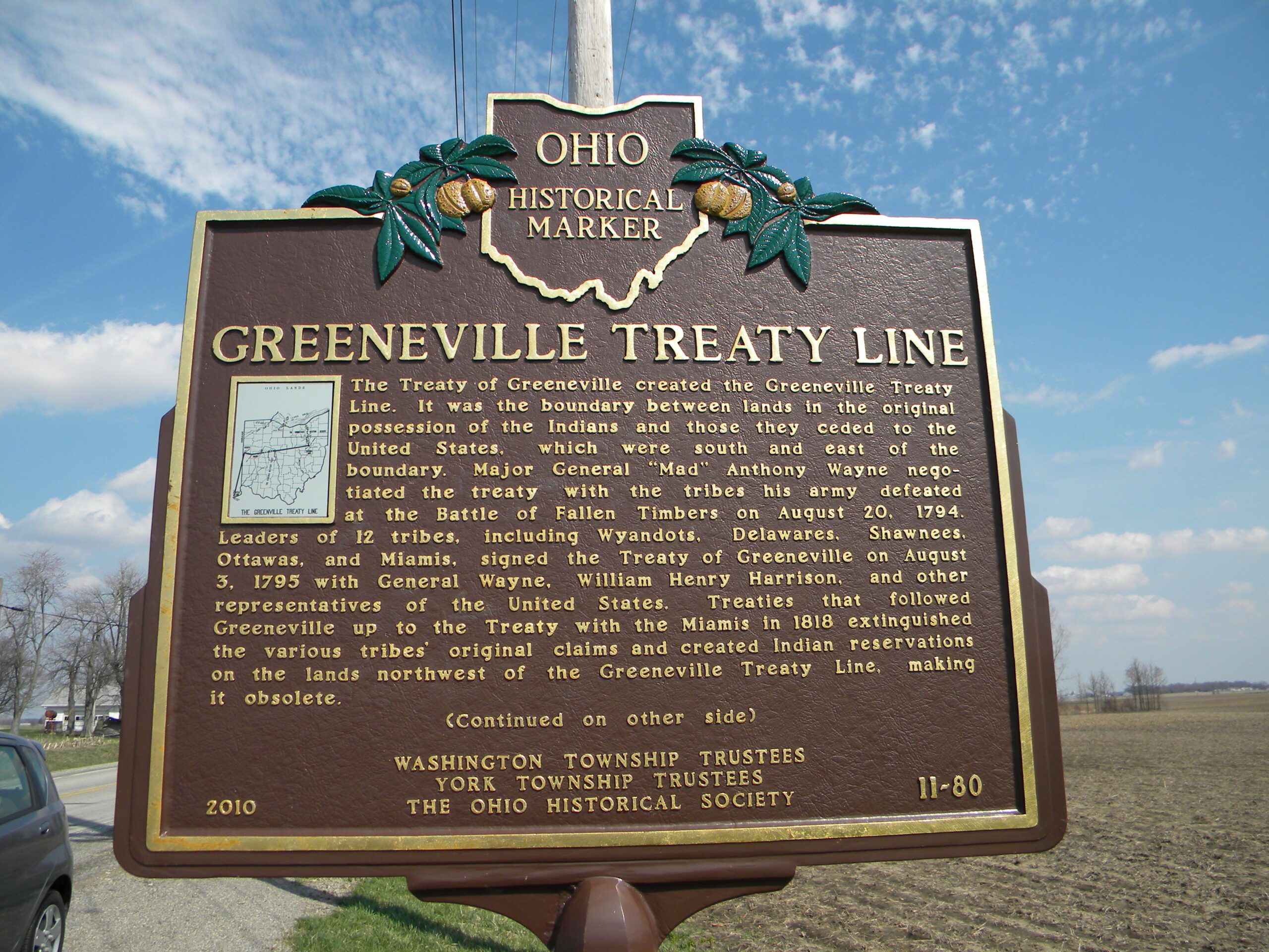
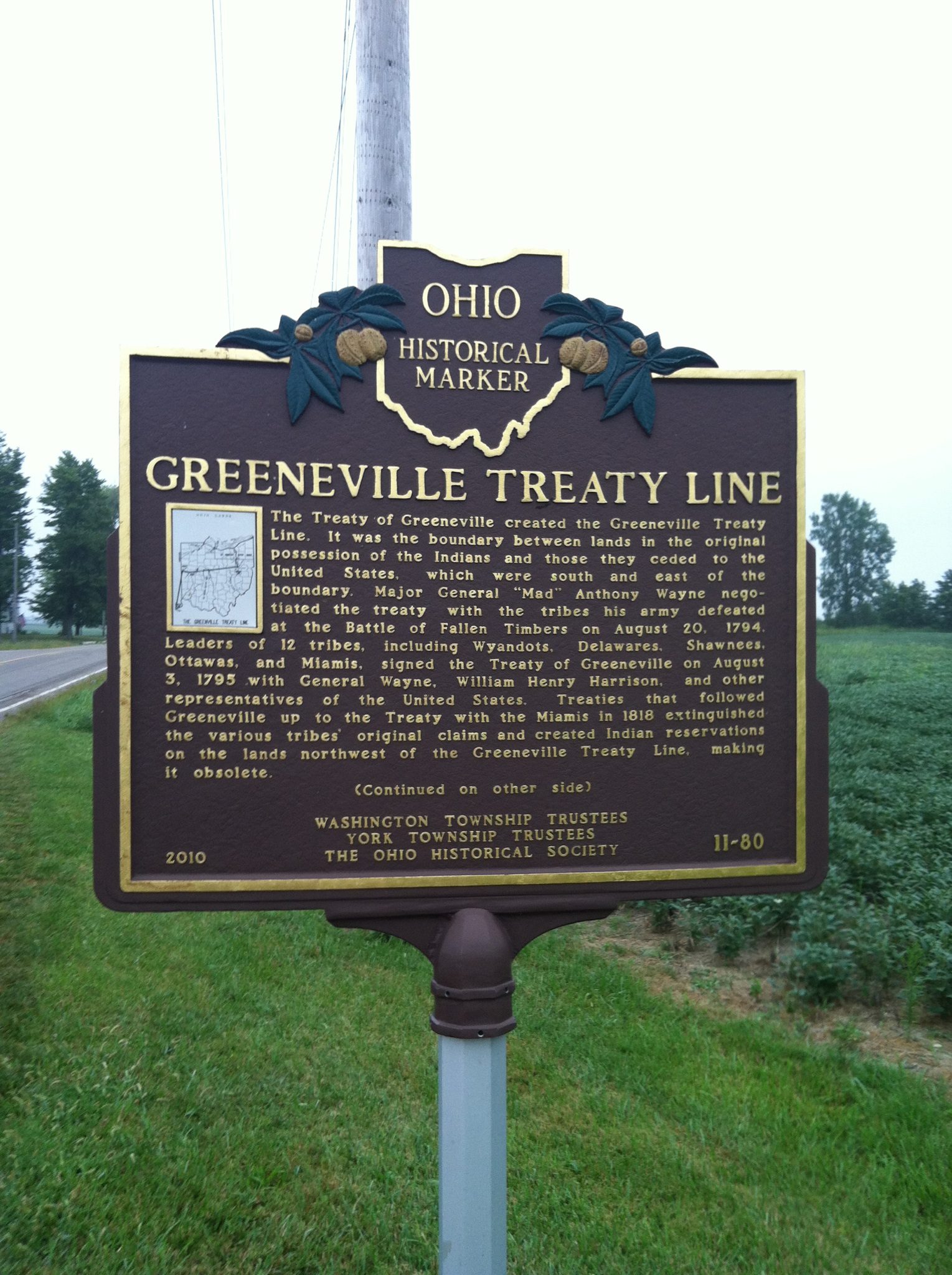
Side A: The Treaty of Greeneville created the Greeneville Treaty Line. It was the boundary between lands in the original possession of the Indians and those they ceded to the United States, which were south and east of the boundary. Major General “Mad” Anthony Wayne negotiated the treaty with the tribes his army defeated at the Battle of Fallen Timbers on August 20, 1794. Leaders of 12 tribes, including Wyandots, Delawares, Shawnees, Ottawas, and Miamis, signed the Treaty of Greeneville on August 3, 1795 with General Wayne, William Henry Harrison, and other representatives of the United States. Treaties that followed Greeneville up to the Treaty with the Miamis in 1818 extinguished the various tribes’ original claims and created Indian reservations on the lands northwest of the Greeneville Treaty Line, making it obsolete. (Continued on other side)
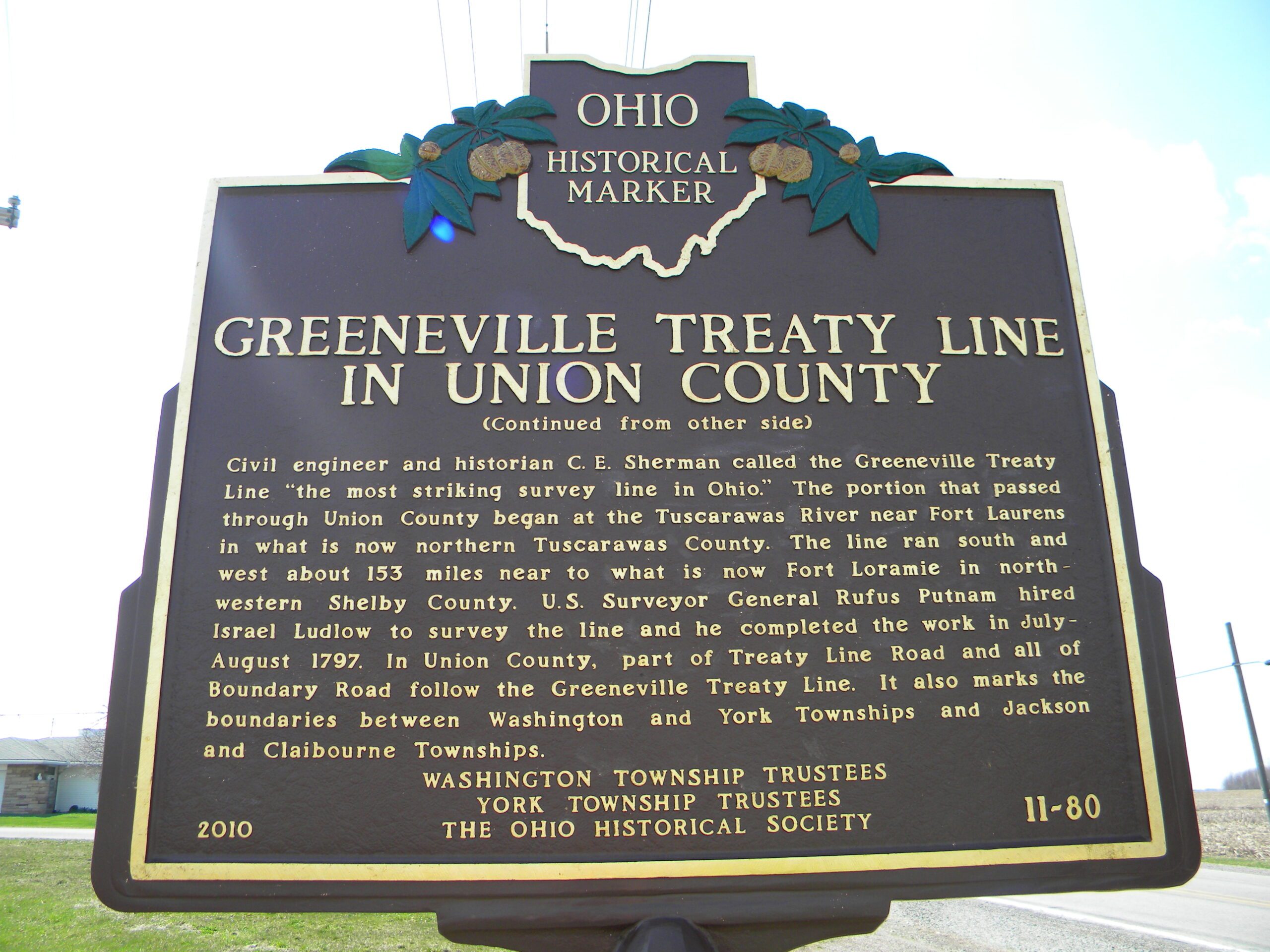
Side B: (Continued from other side) Civil engineer and historian C.E. Sherman called the Greeneville Treaty Line “the most striking survey line in Ohio.” The portion that passed through Union County began at the Tuscarawas River near Fort Laurens in what is now northern Tuscarawas County. The line ran south and west about 153 miles near to what is now Fort Loramie in northwestern Shelby County. U.S. Surveyor General Rufus Putnam hired Israel Ludlow to survey the line and he completed the work in July-August 1797. In Union County, part of Treaty Line Road and all of Boundary Road follow the Greeneville Treaty Line. It also marks the boundaries between Washington and York Townships and Jackson and Claibourne Townships.