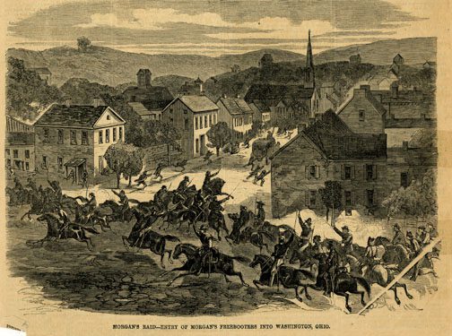
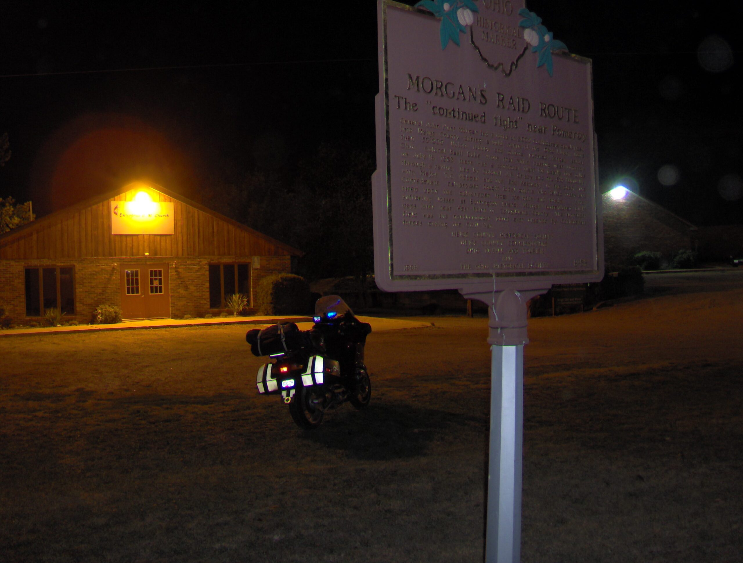
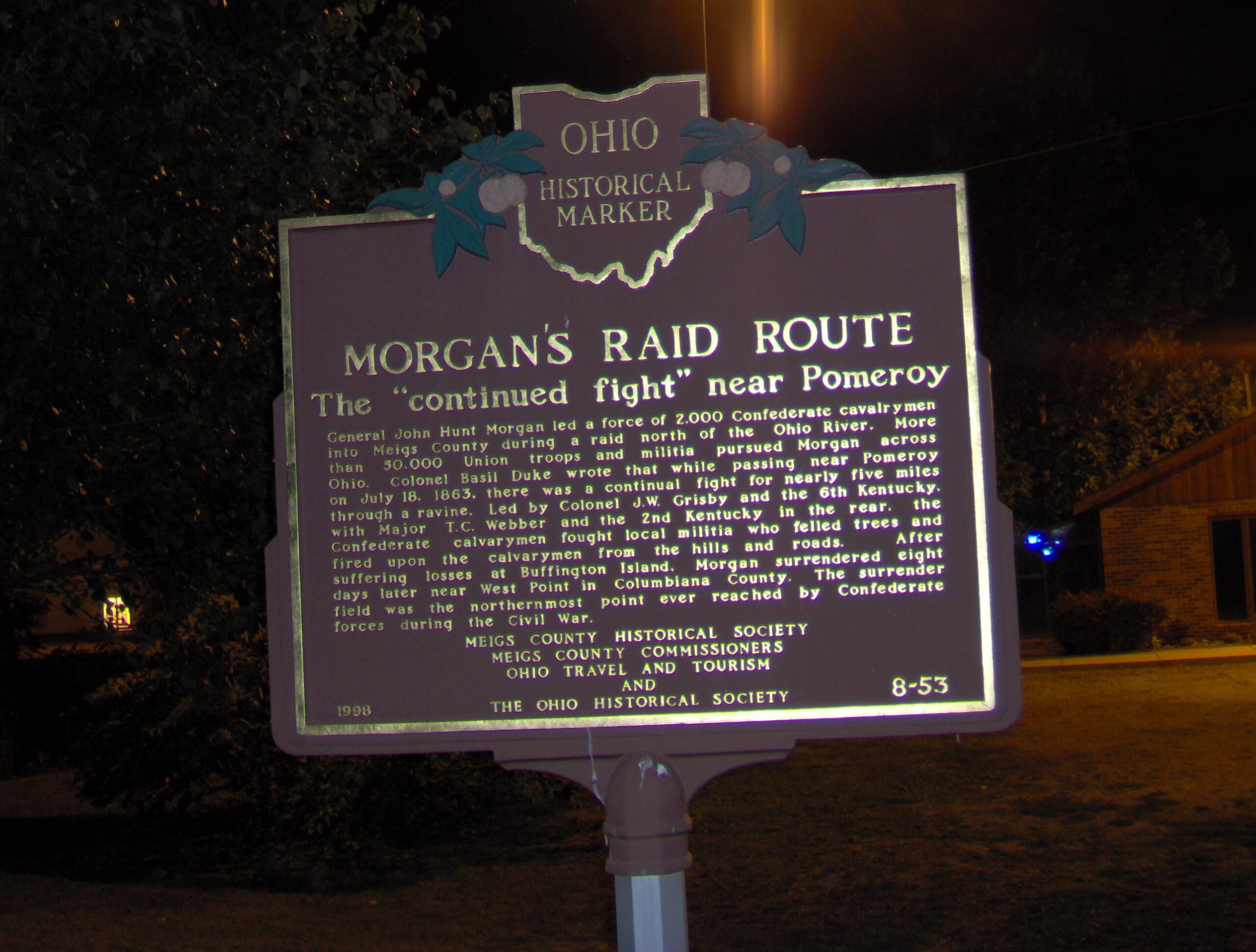
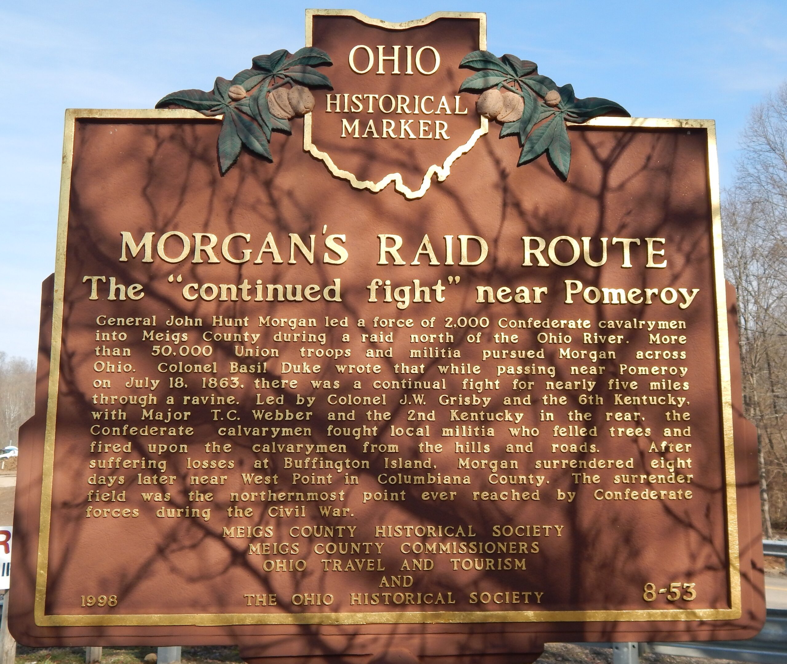
Side A: General John Hunt Morgan led a force of 2,000 Confederate calvalrymen into Meigs County during a raid north of the Ohio River. More than 50,000 Union troops and militia pursued Morgan across Ohio. Colonel Basil Duke wrote that while passing near Pomeroy on July 18, 1863, there was a continual fight for nearly five miles through a ravine. Led by Colonel J.W. Grisby and the 6th Kentucky, with Major T.C. Webber and the 2nd Kentucky in the rear, the Confederate calvarymen fought local militia who felled trees and fired upon the calvarymen from the hills and roads. After suffering losses at Buffington Island, Morgan surrendered eight days later near West Point in Columbiana County. The surrender field was the northernmost point ever reached by Confederate forces during the Civil War.
Sponsors: Meigs County Historical Society, Meigs County Commissioners, Ohio Travel and Tourism and The Ohio Historical Society