Below is a complete listing of all Ohio Historical Markers. To find a detailed marker listing including text, photographs, and locations, click on a county below. Our listing is updated by the markers program as new markers are installed and older markers are reported damaged or missing.
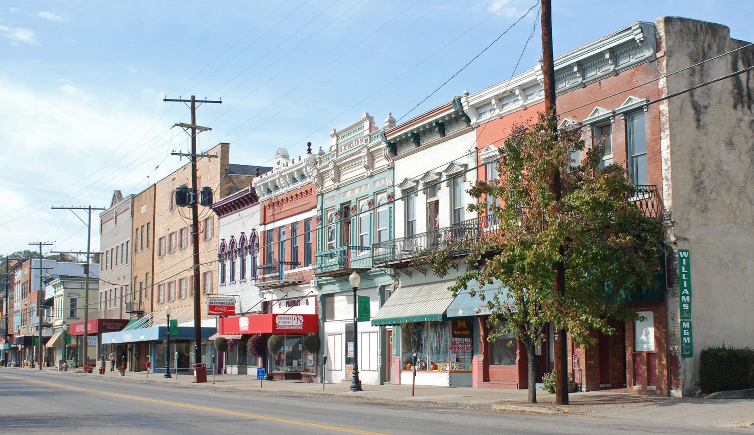
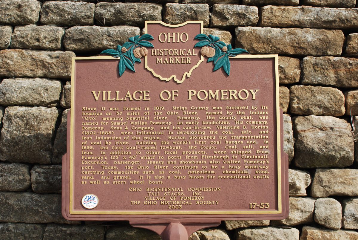
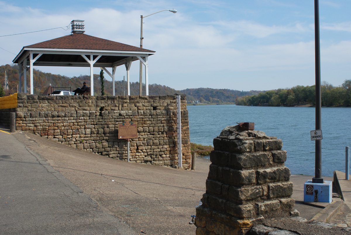
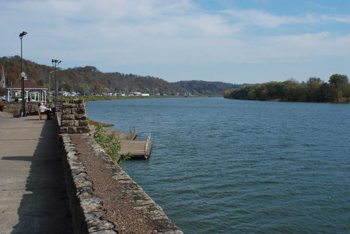
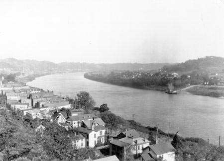
Side A: Since it was formed in 1819, Meigs County was fostered by its location on 57 miles of the Ohio River, named by the Indians”Oyo,” meaning beautiful river. Pomeroy, the county seat, was named for Samuel Wyllys Pomeroy, an early landholder. His company, Pomeroy, Sons & Company, and his son-in-law, Valentine B. Horton (1802-1888), were influential in developing the coal, salt, and iron industries of the region. Horton pioneered the transportation of coal by river, building the world’s first coal barges and, in 1835, the first coal-fueled towboat, the Condor. Coal, salt, and iron, in addition to other local products, were shipped from Pomeroy’s 125′ x 40′ wharf to ports from Pittsburgh to Cincinnati. Excursion, passenger, shanty and showboats also visited Pomeroy’s port. Today, the Ohio River continues to be a busy waterway carrying commodities such as coal, petroleum, chemicals, steel, sand, and gravel. It is also a busy haven for recreational crafts as well as stern wheel boats.