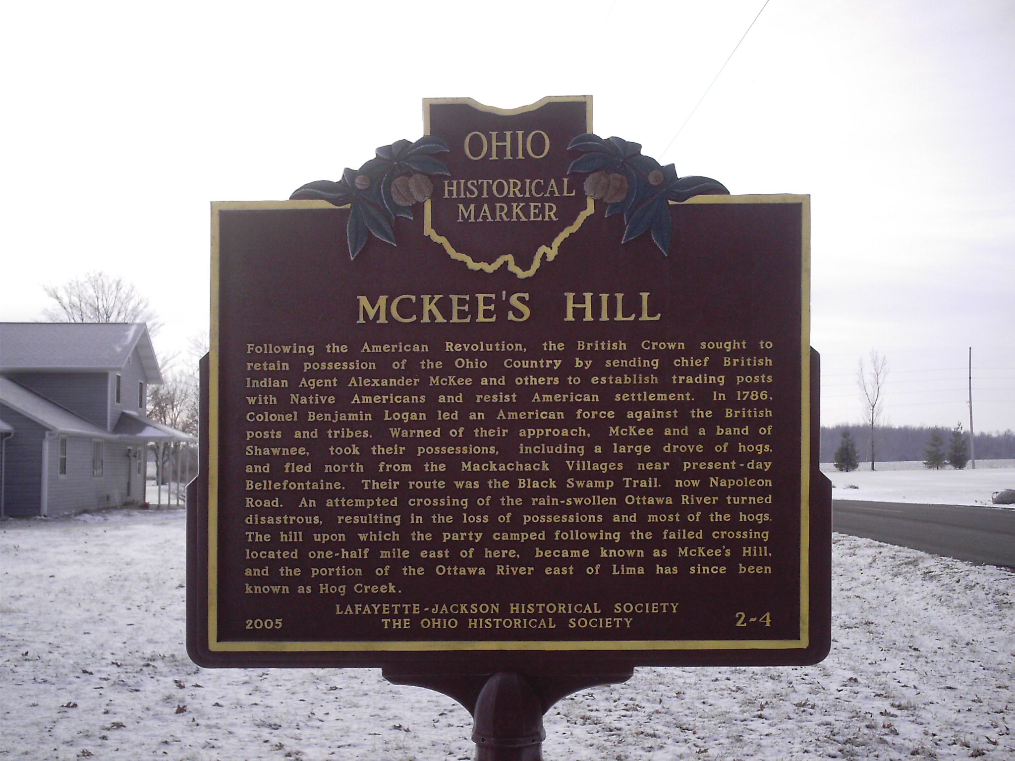
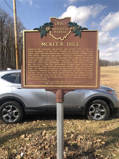
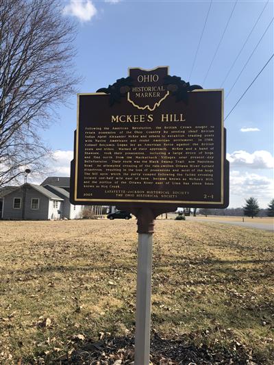
Side A: Following the American Revolution, the British Crown sought to retain possession of the Ohio Country by sending chief British Indian Agent Alexander McKee and others to establish trading posts with Native Americans and resist American settlement. In 1786, Colonel Benjamin Logan led an American force against the British posts and tribes. Warned of their approach, McKee and a band of Shawnee, took their possessions, including a large drove of hogs, and fled north from the Mackachack Villages near present-day Bellefontaine. Their route was the Black Swamp Trail, now Napoleon Road. An attempted crossing of the rain-swollen Ottawa River turned disastrous, resulting in the loss of possessions and most of the hogs. The hill upon which the party camped following the failed crossing, located one half mile east of here, became known as McKee’s Hill, and the portion of the Ottawa River east of Lima has since been known as Hog Creek.