Below is a complete listing of all Ohio Historical Markers. To find a detailed marker listing including text, photographs, and locations, click on a county below. Our listing is updated by the markers program as new markers are installed and older markers are reported damaged or missing.
ALERT: Marker number transposed to #78-20. It will be corrected to 20-78 when possible.
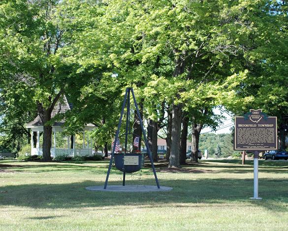
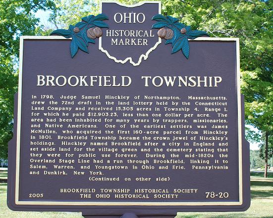
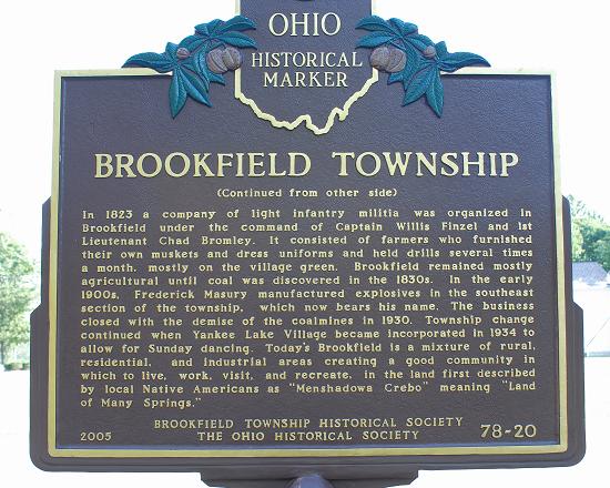
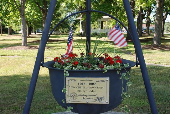
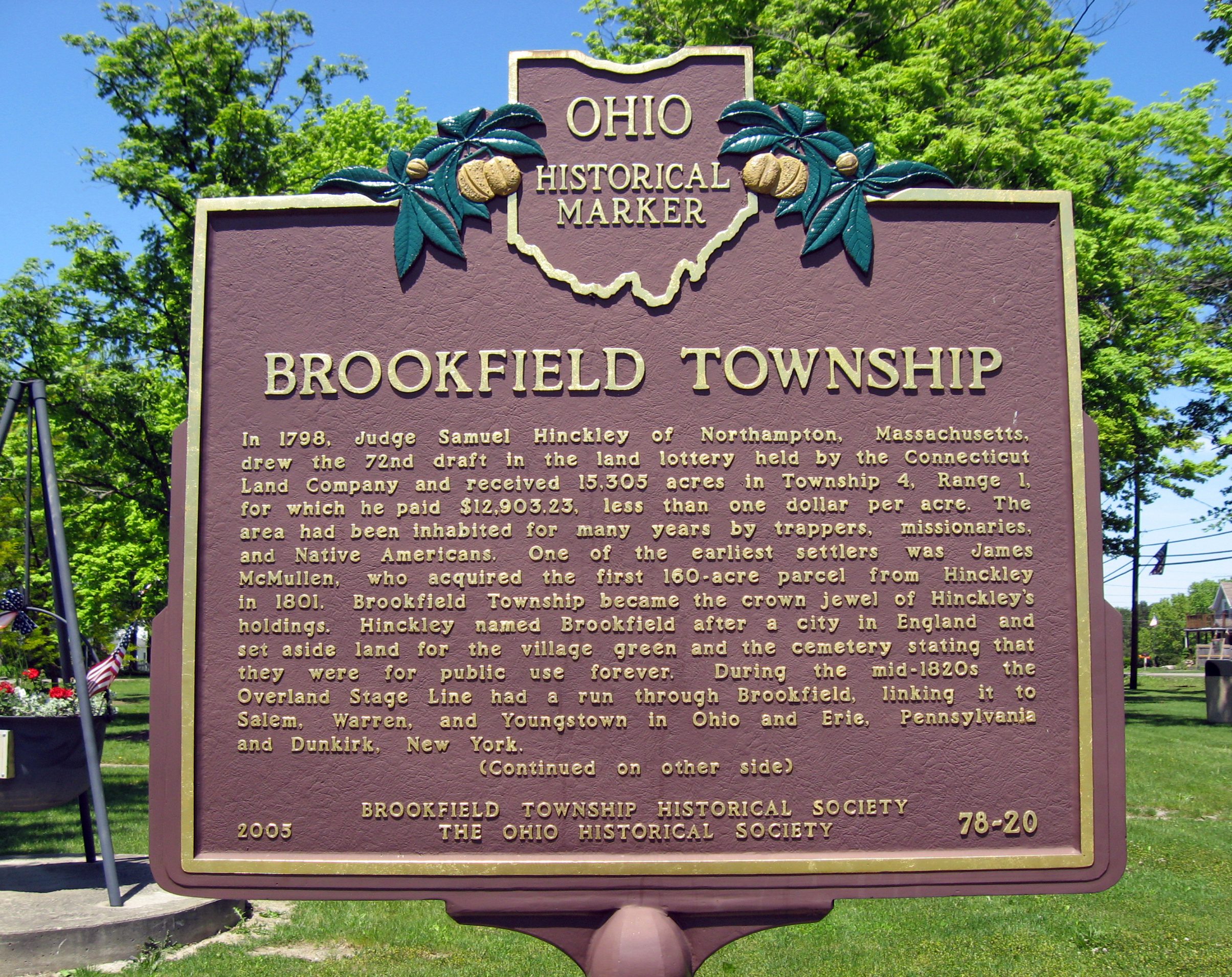
20-78 Brookfield Township
Side A: In 1798, Judge Samuel Hinckley of Northampton, Massachusetts, drew the 72nd draft in the land lottery held by the Connecticut Land Company and received 15,305 acres in Township 4, Range 1, for which he paid $12,903.23, less than one dollar per acre. The area had been inhabited for many years by trappers, missionaries, and Native Americans. One of the earliest settlers was James McMullen, who acquired the first 160-acre parcel from Hinckley in 1801. Brookfield Township became the crown jewel of Hinckley’s holdings. Hinckley named Brookfield after a city in England and set aside land for the village green and the cemetery stating that they were for public use forever. During the mid-1820s the Overland Stage Line had a run through Brookfield, linking it to Salem, Warren, and Youngstown in Ohio and Erie, Pennsylvania and Dunkirk, New York. (Continued on other side)
Side B: (Continued from other side) In 1823 a company of light infantry militia was organized in Brookfield under the command of Captain Willis Finzel and 1st Lieutenant Chad Bromley. It consisted of farmers who furnished their own muskets and dress uniforms and held drills several times a month, mostly on the village green. Brookfield remained mostly agricultural until coal was discovered in the 1830s. In the early 1900s, Frederick Masury manufactured explosives in the southeast section of the township, which now bears his name. The business closed with the demise of the coalmines in 1930. Township change continued when Yankee Lake Village became incorporated in 1934 to allow for Sunday dancing. Today’s Brookfield is a mixture of rural, residential, and industrial areas creating a good community in which to live, work, visit, and recreate, in the land first described by local Native Americans as “Menshadowa Crebo” meaning “Land of Many Springs.”