Remarkable Ohio

Counties

Below is a complete listing of all Ohio Historical Markers. To find a detailed marker listing including text, photographs, and locations, click on a county below. Our listing is updated by the markers program as new markers are installed and older markers are reported damaged or missing.

5-17 The Sandusky Plains

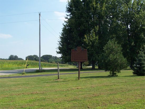
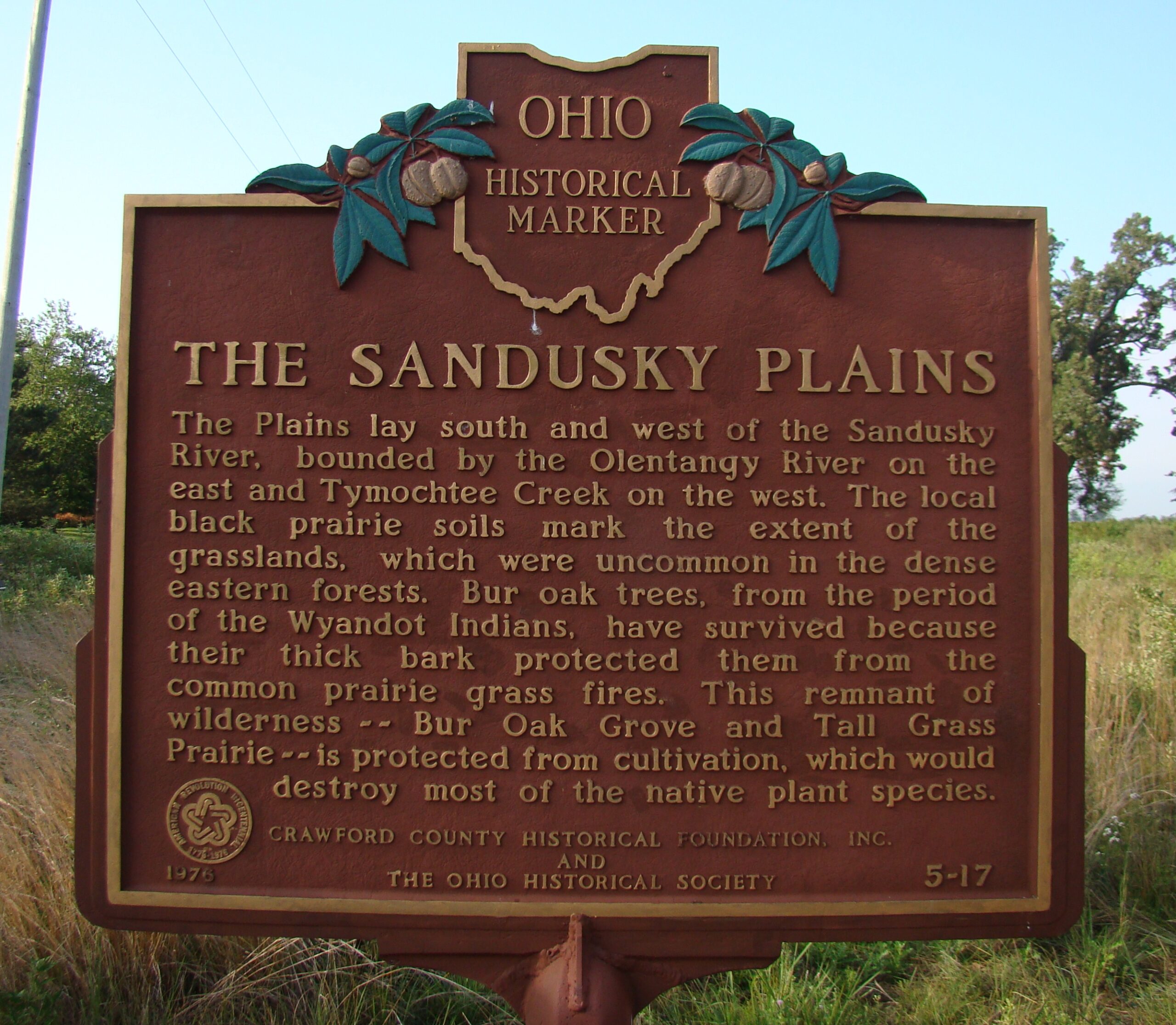
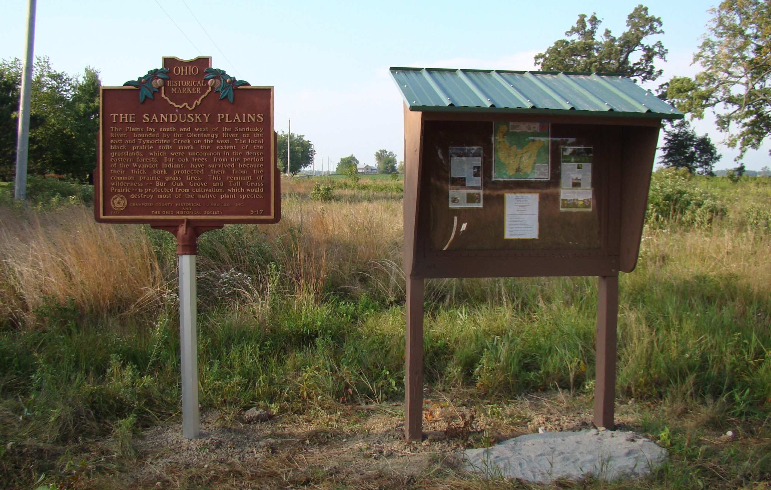
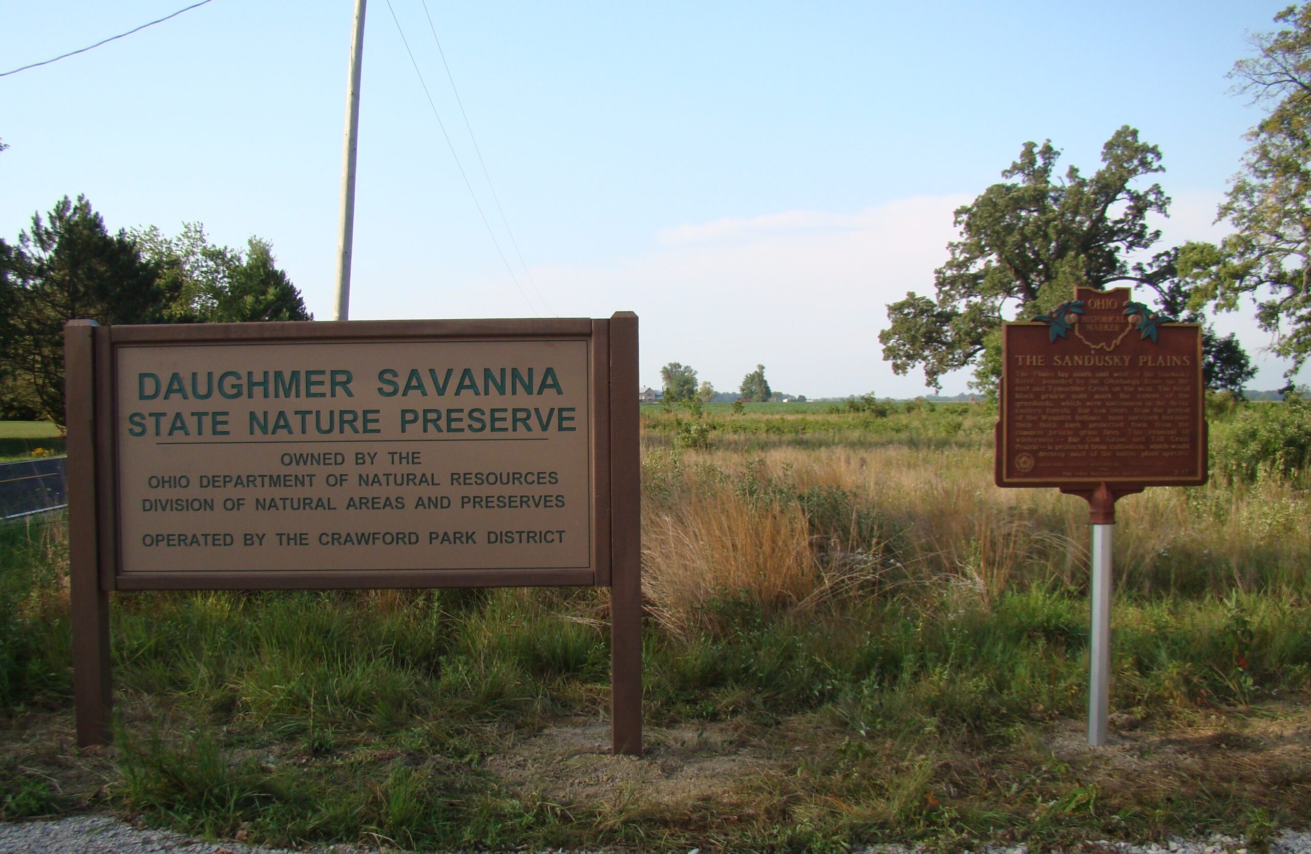
Side A: The Plains lay south and west of the Sandusky River, bounded by the Olentangy River on the east and Tymochtee Creek on the west. The local black prairie soils mark the extent of the grasslands, which were uncommon in the dense eastern forests. Bur Oak trees, from the period of the Wyandot Indians, have survived because their thick bark protected them from the common prairie grass fires. This remnant of wilderness–Bur Oak Grove and Tall Grass Prairie–is protected from cultivation, which would destroy most of the native plant species.
Side B: Same
Sponsors: Crawford County Historical Foundation, Inc. and The Ohio Historical Society
Address: 786 Marion Melmore Rd, 
Bucyrus, 
OH, 
44820
Location: Daughmer Savanna State Nature Preserve’s Parking lot
Latitude: 40.7291010
Longitude: -83.0925370