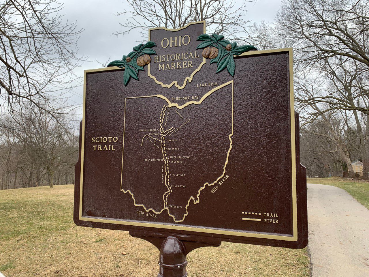
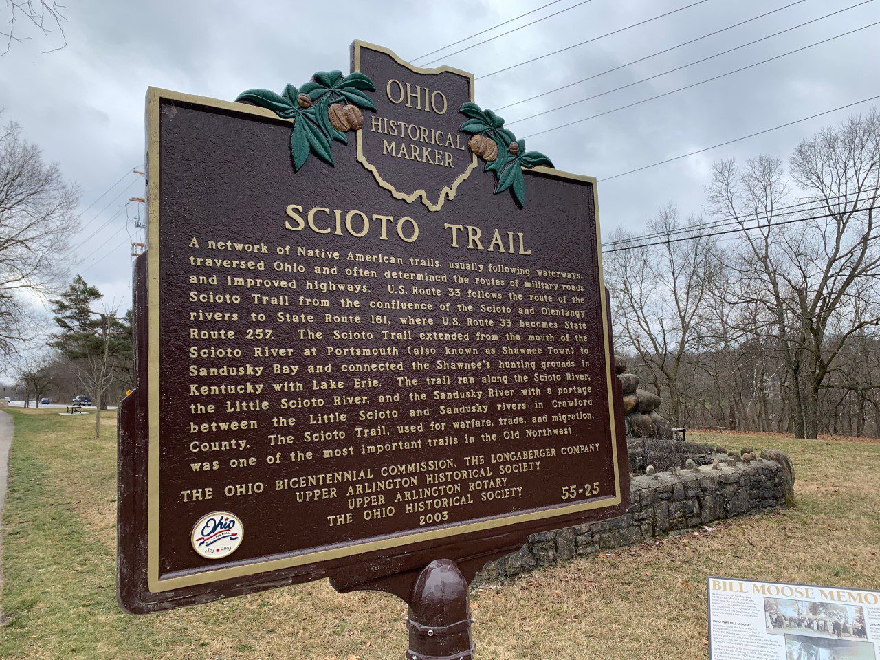
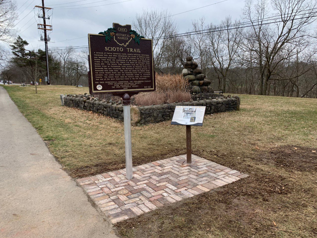
Side A: A network of Native American trails, usually following waterways, traversed Ohio and often determined the routes of military roads and improved highways. U.S. Route 33 follows the route of the Scioto Trail from the confluence of the Scioto and Olentangy rivers to State Route 161, where U.S. Route 33 becomes State Route 257. The Scioto Trail extended from the mouth of the Scioto River at Portsmouth (also known as Shawnee Town) to Sandusky Bay and connected the Shawnee’s hunting grounds in Kentucky with Lake Erie. The trail ran along the Scioto River, the Little Scioto River, and the Sandusky River with a portage between the Little Scioto and Sandusky rivers in Crawford County. The Scioto Trail, used for warfare, trade, and migration, was one of the most important trails in the Old Northwest.
Sponsors: The Ohio Bicentennial Commission, The Longaberger Company, Upper Arlington Historical Society, Upper Arlington Rotary, and The Ohio Historical Society