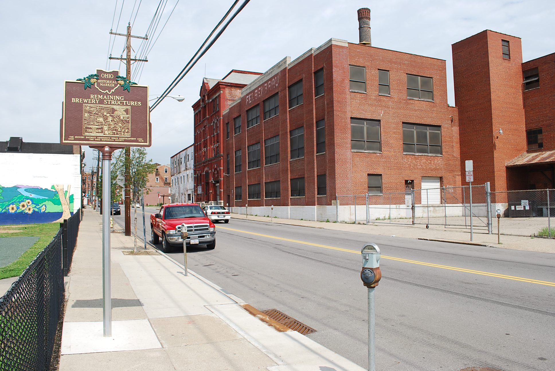
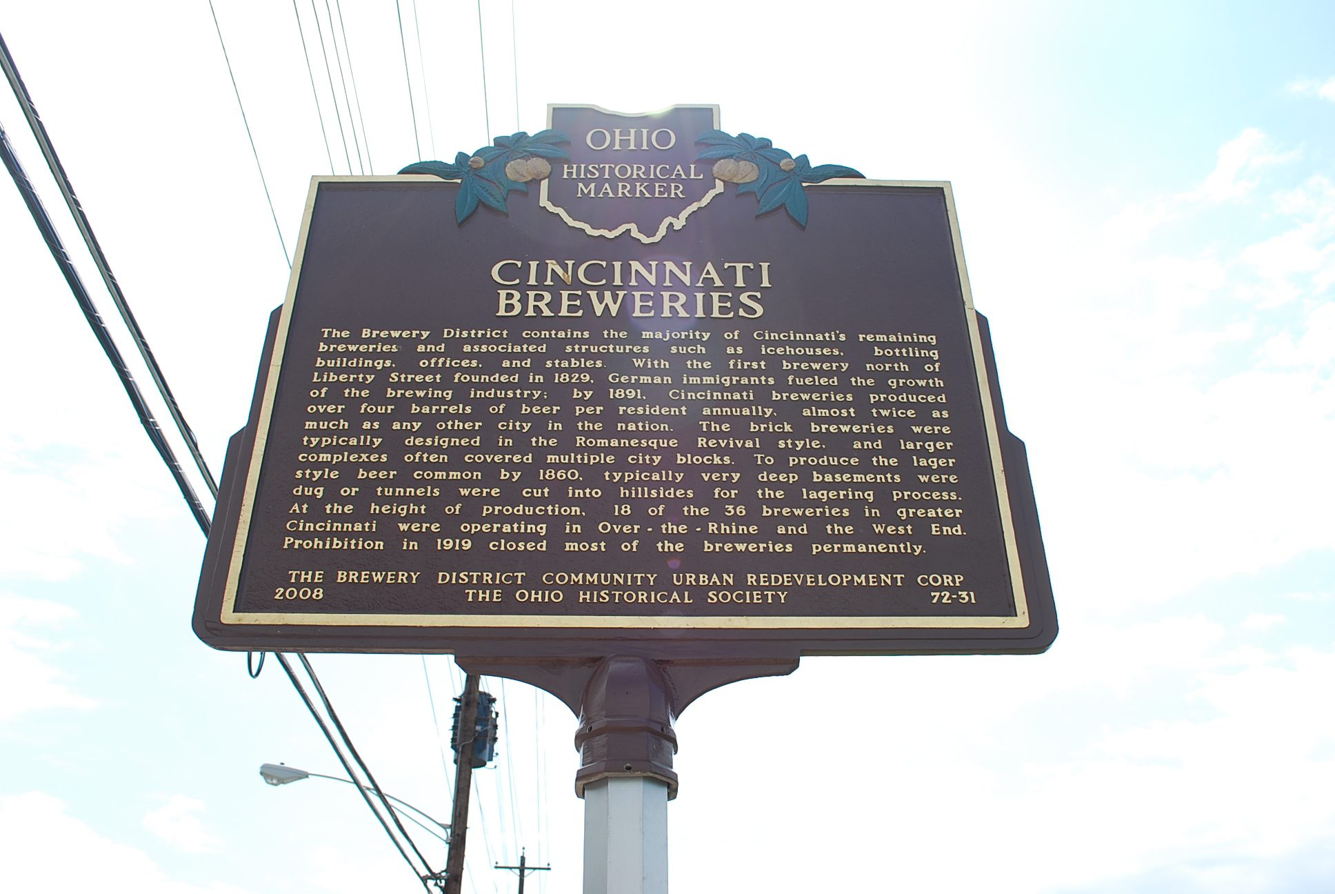
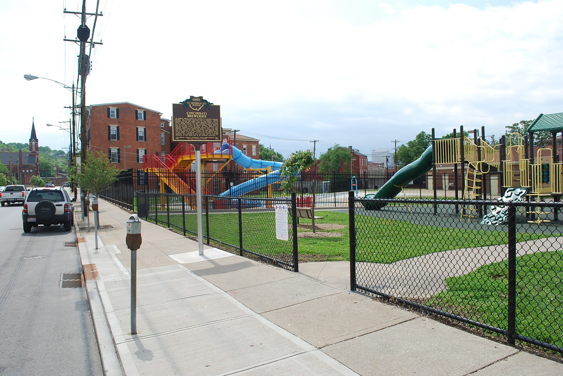
Side A: The Brewery District contains the majority of Cincinnati’s remaining breweries and associated structures such as icehouses, bottling buildings, offices, and stables. With the first brewery north of Liberty Street founded in1829, German immigrants fueled the growth of the brewing industry; by 1891, Cincinnati breweries produced over four barrels of beer per resident annually, almost twice as much as any other city in the nation. The brick breweries were typically designed in the Romanesque Revival style, and larger complexes often covered multiple city blocks. To produce the lager style beer common by 1860, typically very deep basements were dug or tunnels were cut into hillsides for the lagering process. At the height of production, 18 of the 36 breweries in greater Cincinnati were operating in Over-the-Rhine and the West End. Prohibition in 1919 closed most of the breweries permanently.