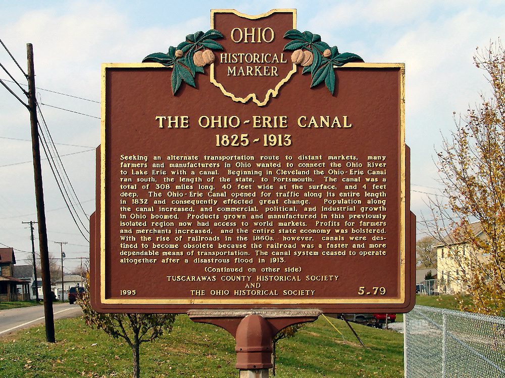
Side A: Seeking an alternative transportation route to distant markets, many farmers and manufacturers in Ohio wanted to connect the Ohio River to Lake Erie with a canal. Beginning in Cleveland the Ohio-Erie Canal ran south, the length of the state, to Portsmouth. The canal was a total of 308 miles long, 40 feet wide at the surface, and 4 feet deep. The Ohio-Erie Canal opened for traffic along its entire length in 1832 and consequently effected great change. Population along the canal increased, and commercial, political, and industrial growth in Ohio boomed. Products grown and manufactured in this previously isolated region now had access to world markets. Profits for farmers and merchants increased, and the entire state economy was bolstered. With the rise of railroads in the 1860s, however, canals were destined to become obsolete because the railroad was a faster and more dependable means of transportation. The canal system ceased to operate altogether after a disastrous flood in 1913.
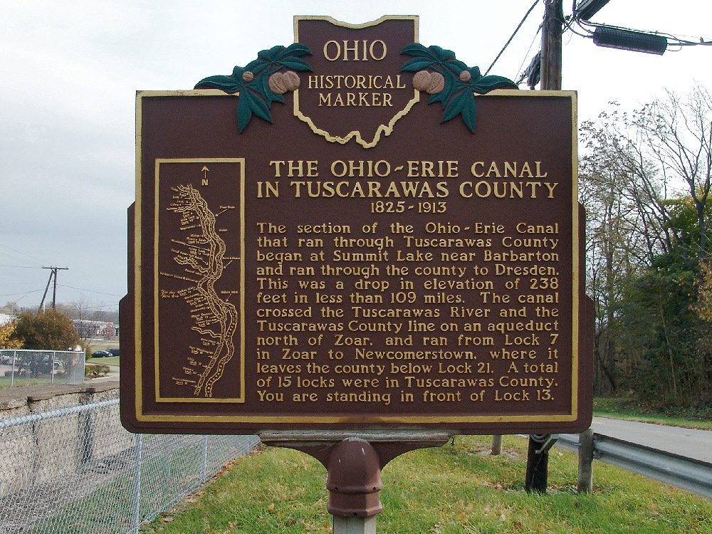
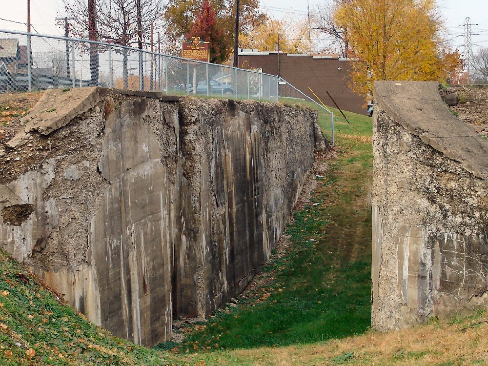
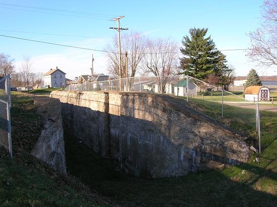
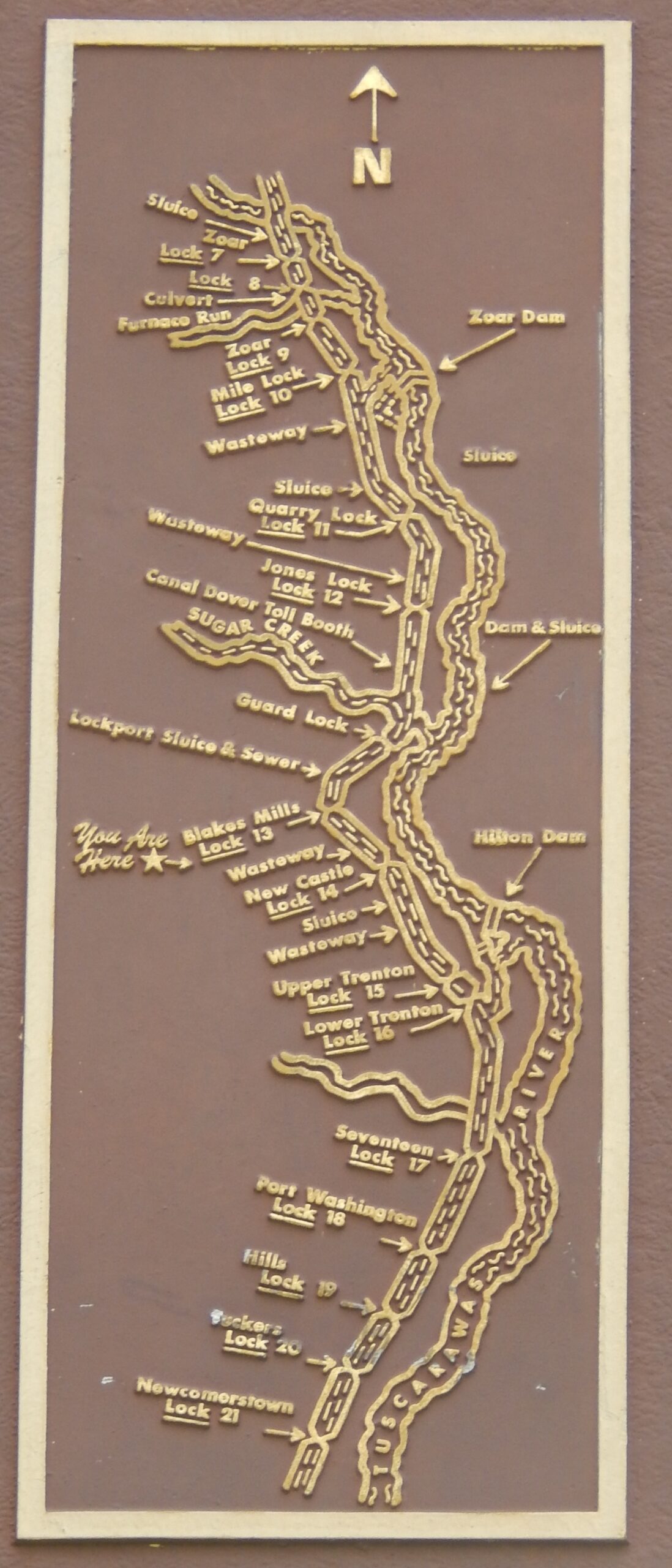
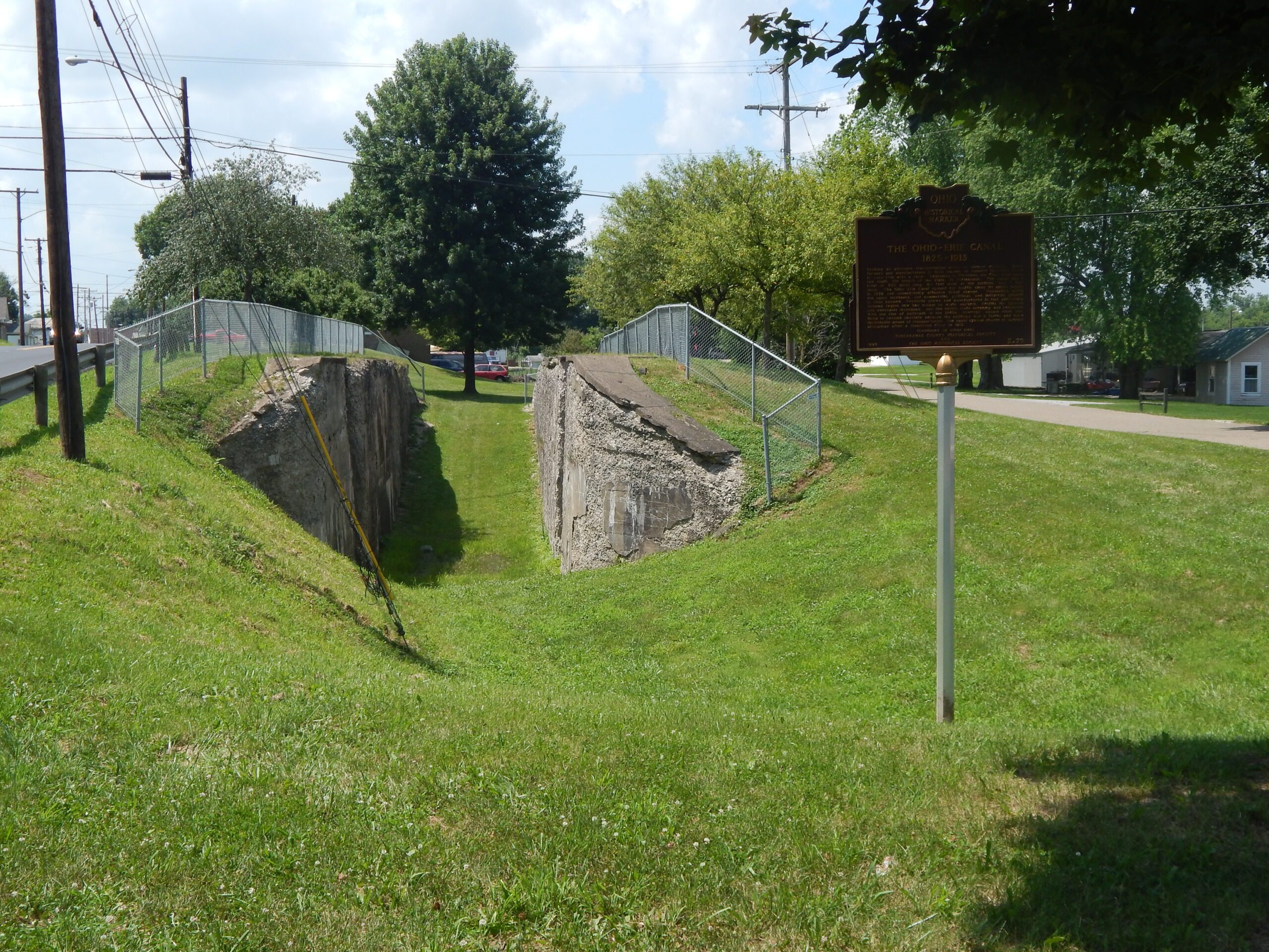
Side B: The section of the Ohio-Erie Canal that ran through Tuscarawas County began at Summit Lake near Barberton and ran through the county to Dresden. This was a drop in elevation of 238 feet in less than 109 miles. The canal crossed the Tuscarawas River and the Tuscarawas County line on an aqueduct north of Zoar, and ran from Lock 7 in Zoar to Newcomerstown, where it leaves the county below Lock 21. A total of 15 locks were in Tuscarawas County. You are standing in front of Lock 13. (custom art work map)