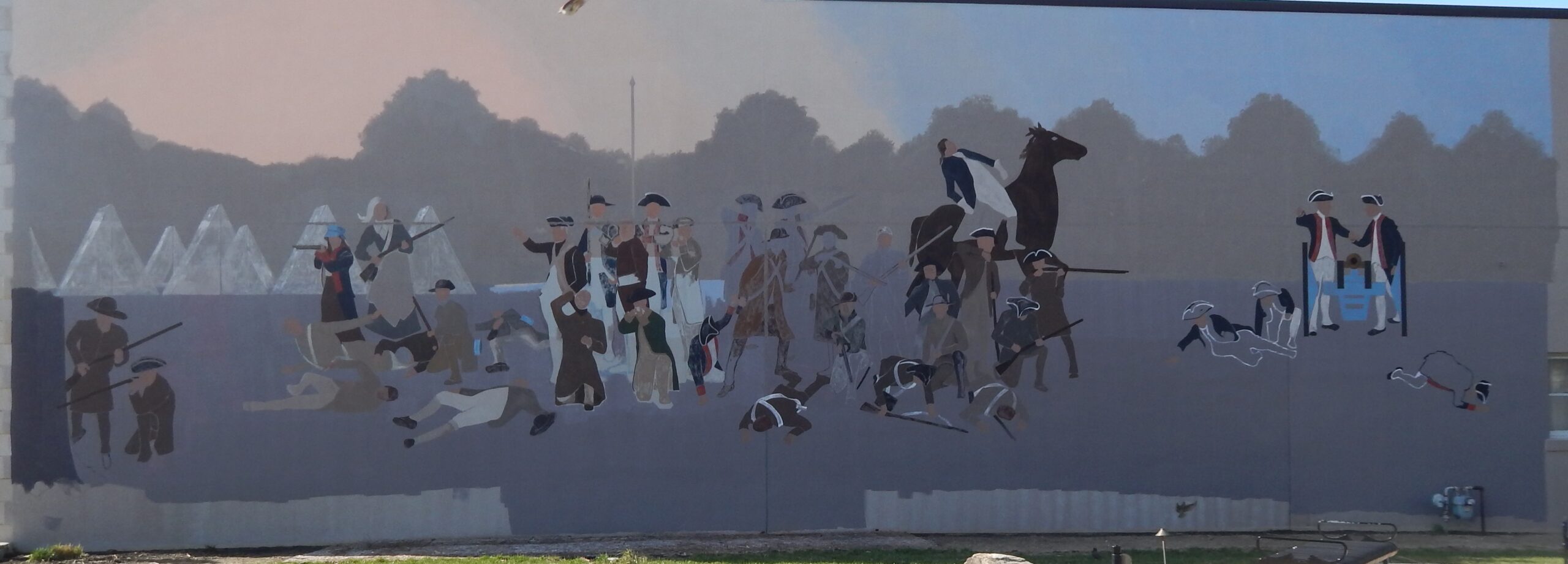
Side A: Native Americans inhabited and used much of the land in the Ohio valley as hunting grounds. As American settlers pushed west, conflicts resulted and attempts at peaceful settlement failed. Under political pressure, President George Washington resolved to subdue Indian resistance to American expansion in the Ohio country and appointed General Arthur St. Clair to lead the expedition. St. Clair’s troops camped on the Wabash River (just east of the Ohio-Indiana state line) after an exhausting two-month trek. The ill-prepared soldiers were no match for the forces of Miami, Shawnee, and Delaware Indians who attacked them at dawn of November 4, 1791. By the day’s end, warriors led by Little Turtle and Blue Jacket had killed or wounded nearly three-quarters of the American force-the worst-ever defeat of the U.S. Army by Native Americans in a single battle.
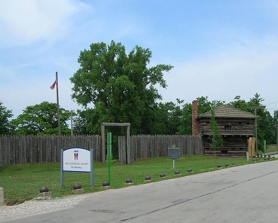
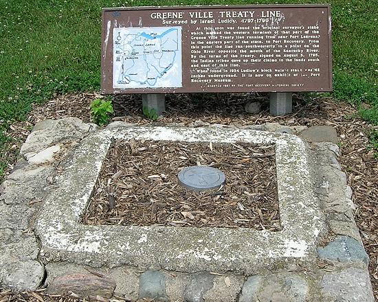
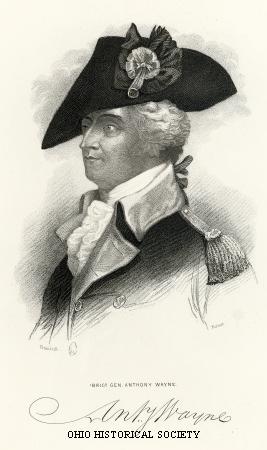
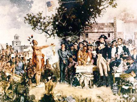
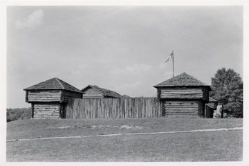
Side B: Following St. Clair’s defeat, President Washington appointed General Anthony Wayne commander of the U.S. Army. Well organized and disciplined, Wayne’s army left Fort Washington and made its headquarters at Fort Greene Ville. In December 1793, Fort Recovery was built at the site of St. Clair’s defeat. On June 30, 1794, combined Native American forces made a frontal attack on the fort. A two-day battle ensued, resulting in the Native American confederation giving up their assault on Fort Recovery. This U.S. Army victory, as well as the later one at the Battle of Fallen Timbers, led to the signing of the Treaty of Greene Ville in 1795. The treaty opened the Ohio Country for peaceful settlement, leading to Ohio statehood in 1803.
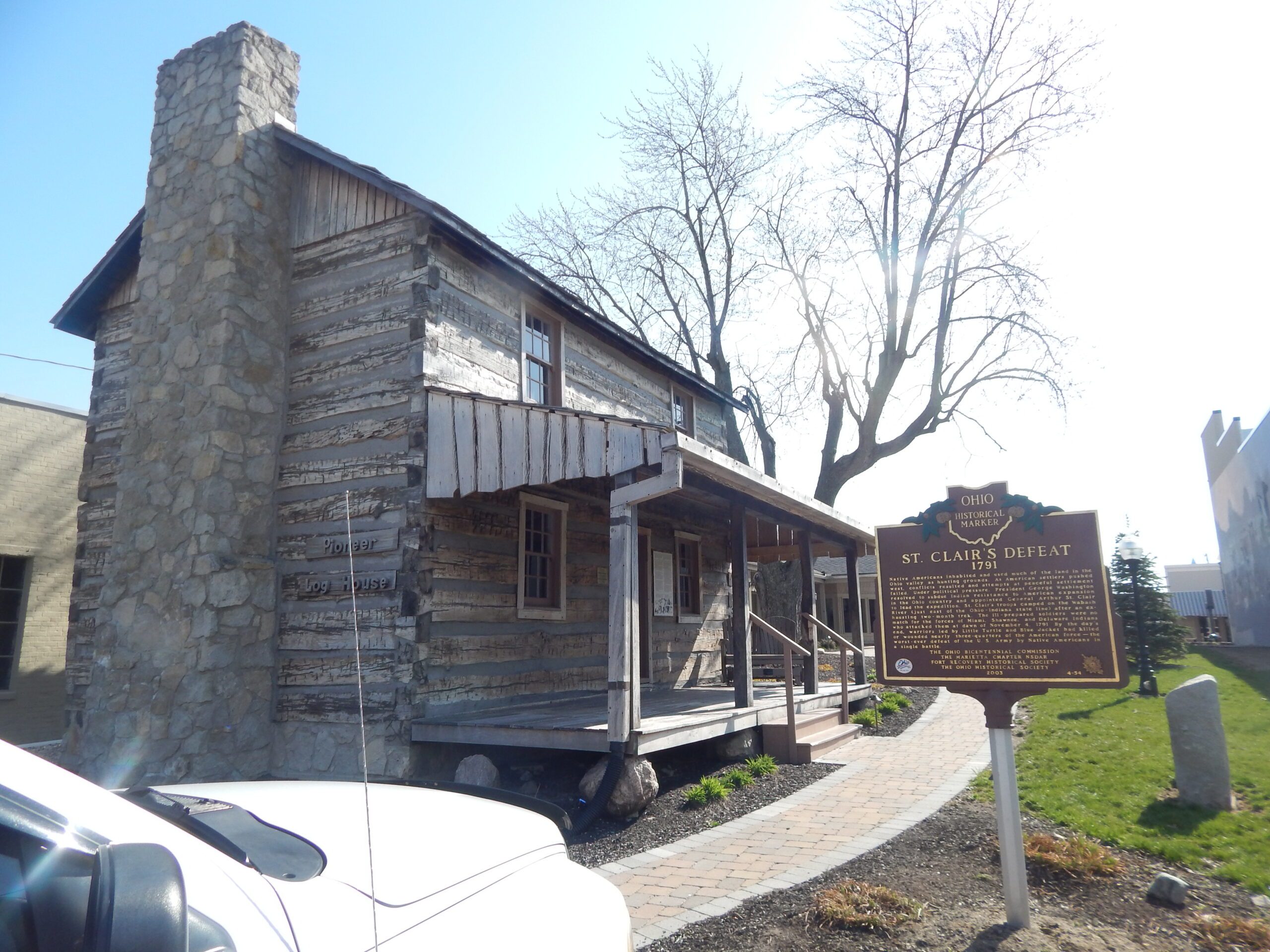
Sponsors: Ohio Bicentennial Commission, The Marietta Chapter NSDAR, Fort Recovery Historical Society, and The Ohio Historical Society