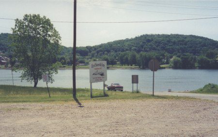
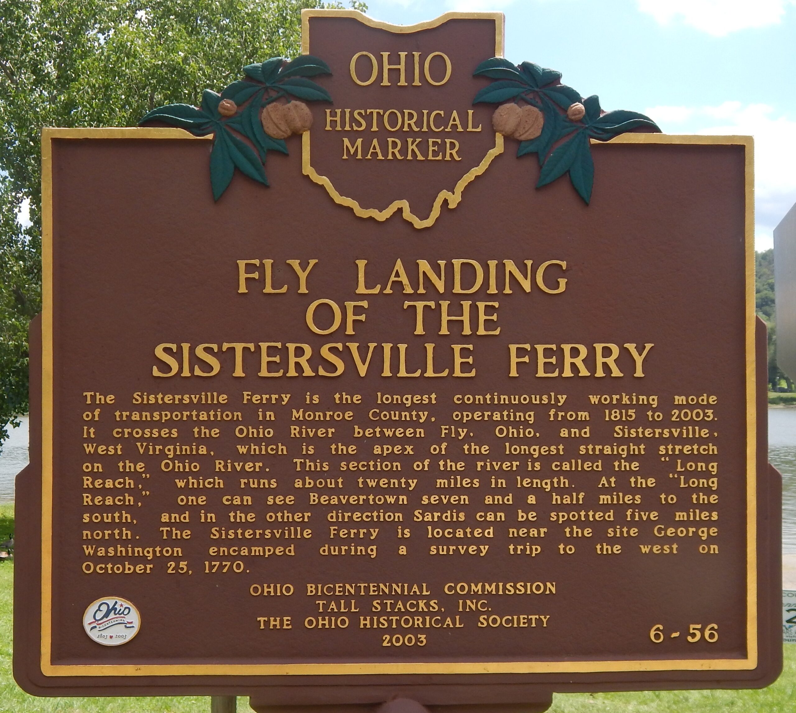
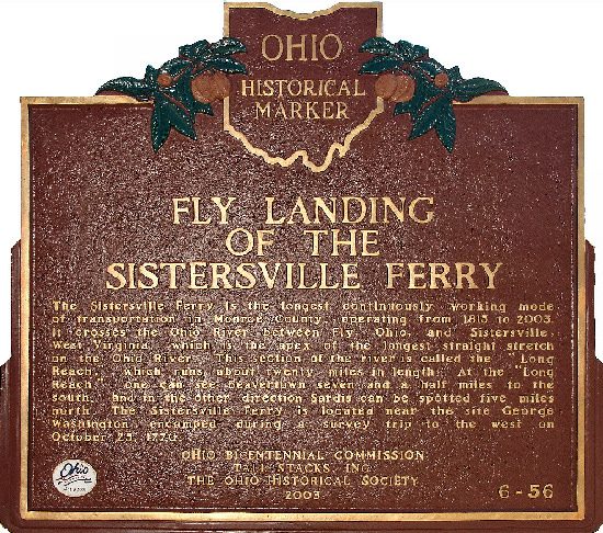
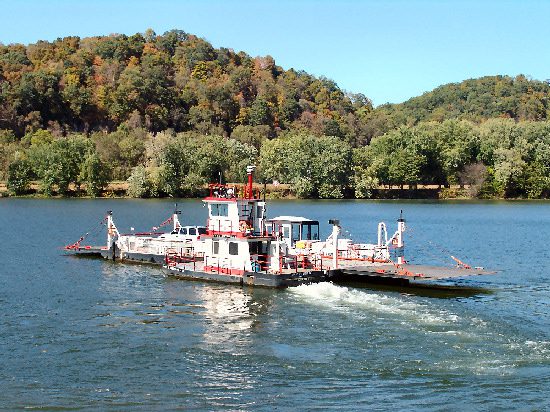
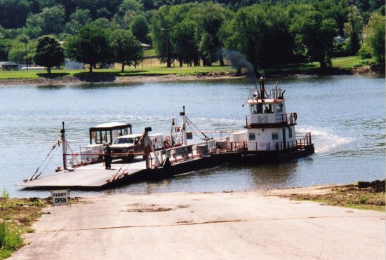
Side A: The Sistersville Ferry is the longest continuously working mode of transportation in Monroe County, operating from 1815 to 2003. It crosses the Ohio River between Fly, Ohio, and Sistersville, West Virginia, which is the apex of the longest straight stretch on the Ohio River. This section of the river is called the “Long Reach,” which runs about twenty miles in length. At the “Long Reach,” one can see Beavertown seven and a half miles to the south, and in the other direction Sardis can be spotted five miles north. The Sistersville Ferry is located near the site George Washington encamped during a survey trip to the west on October 25, 1770.
Sponsors: Ohio Bicentennial Commission, Tall Stacks, Inc., and The Ohio Historical Society