Remarkable Ohio

Counties

Below is a complete listing of all Ohio Historical Markers. To find a detailed marker listing including text, photographs, and locations, click on a county below. Our listing is updated by the markers program as new markers are installed and older markers are reported damaged or missing.

1-76 Ohio and Erie Canal

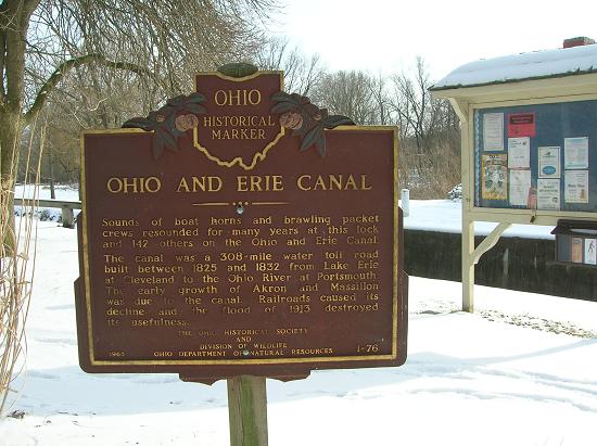
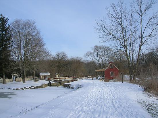
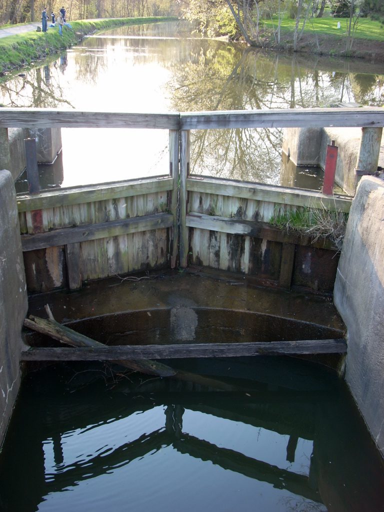
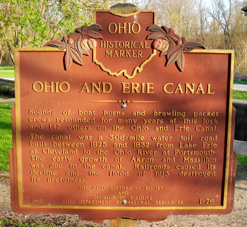
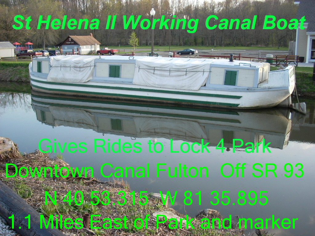
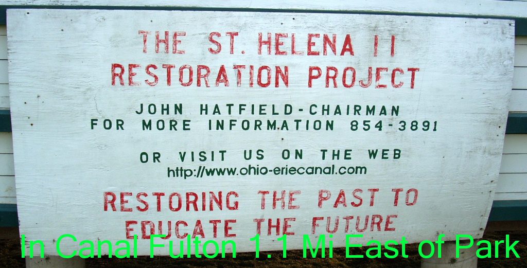
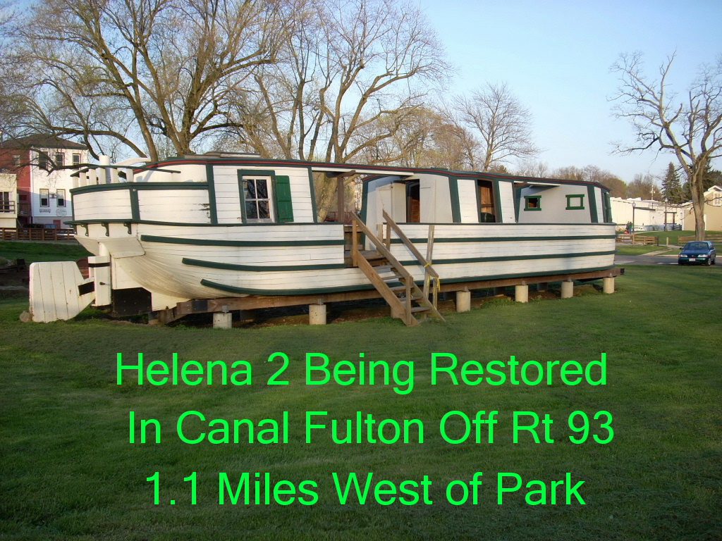
Side A: Sounds of boat horns and brawling packet crews resounded for many years at this lock and 142 others on the Ohio and Erie Canal. The canal was a 308-mile water toll road built between 1825 and 1832 from Lake Erie at Cleveland to the Ohio River at Portsmouth. The early growth of Akron and Massillon was due to the canal. Railroads caused its decline and the flood of 1913 destroyed its usefulness.
Side B: Same
Sponsors: The Ohio Historical Society and Division of Wildlife, Ohio Department of Natural Resources
Massillon vicinity, 
OH, 
44646
Location: Located at county park between Massillon and Canal Fulton
Latitude: 40.8774825
Longitude: -81.5837808