Remarkable Ohio

Counties

Below is a complete listing of all Ohio Historical Markers. To find a detailed marker listing including text, photographs, and locations, click on a county below. Our listing is updated by the markers program as new markers are installed and older markers are reported damaged or missing.

4-33 Old Sandusky Trail and Shawnee Ford

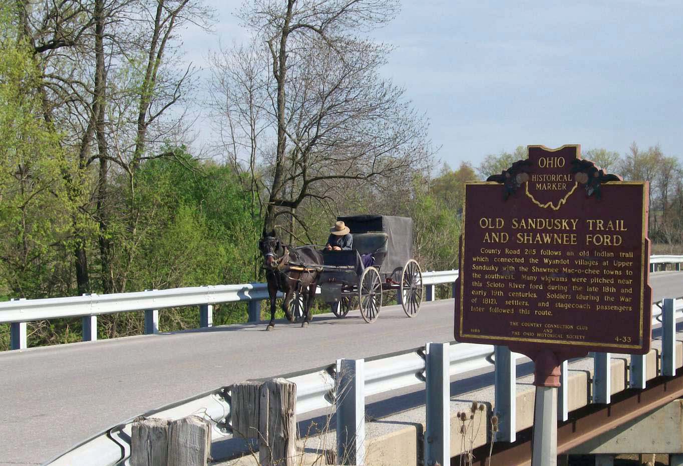
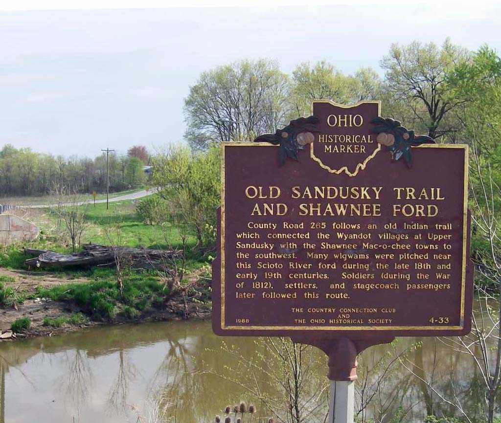
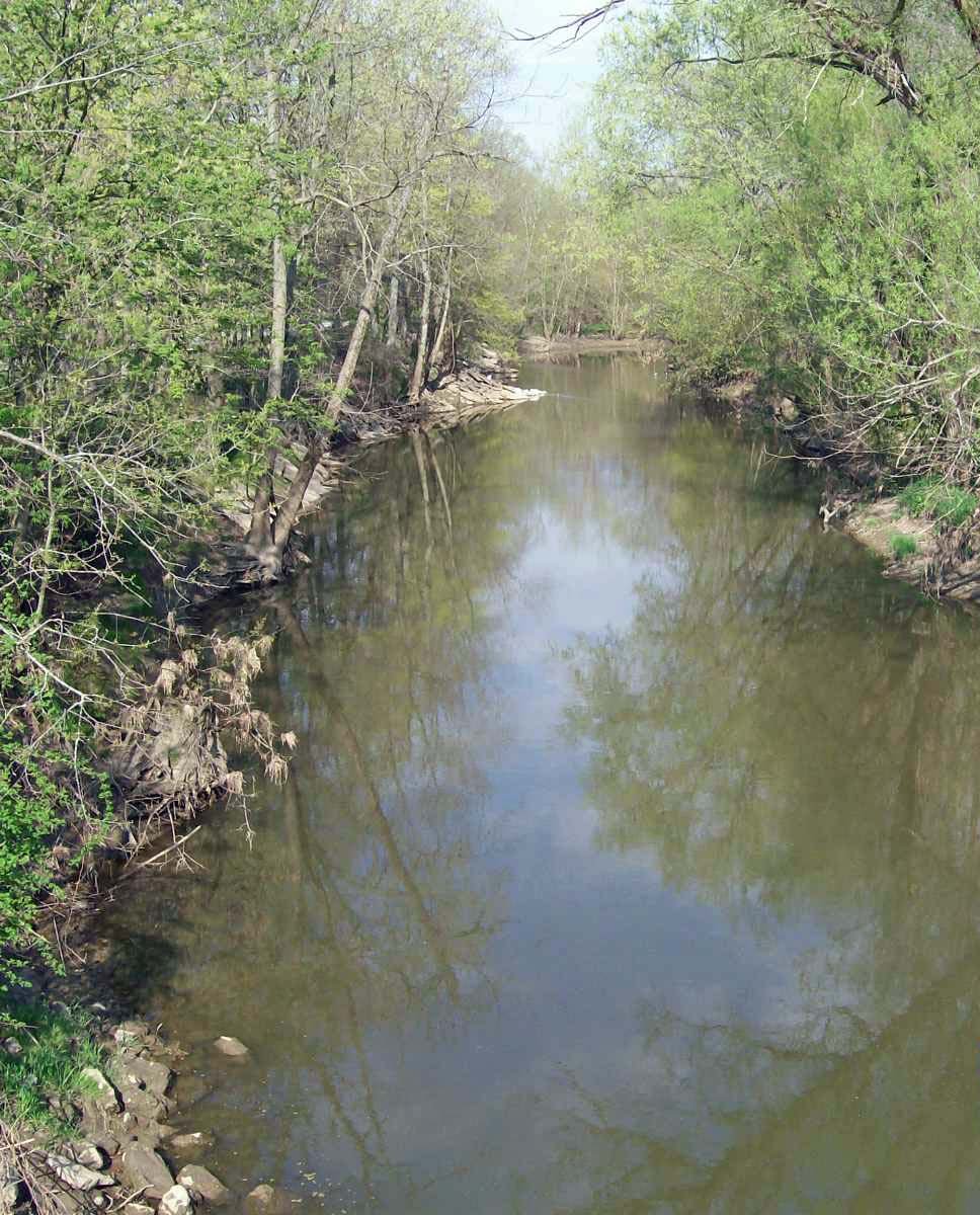
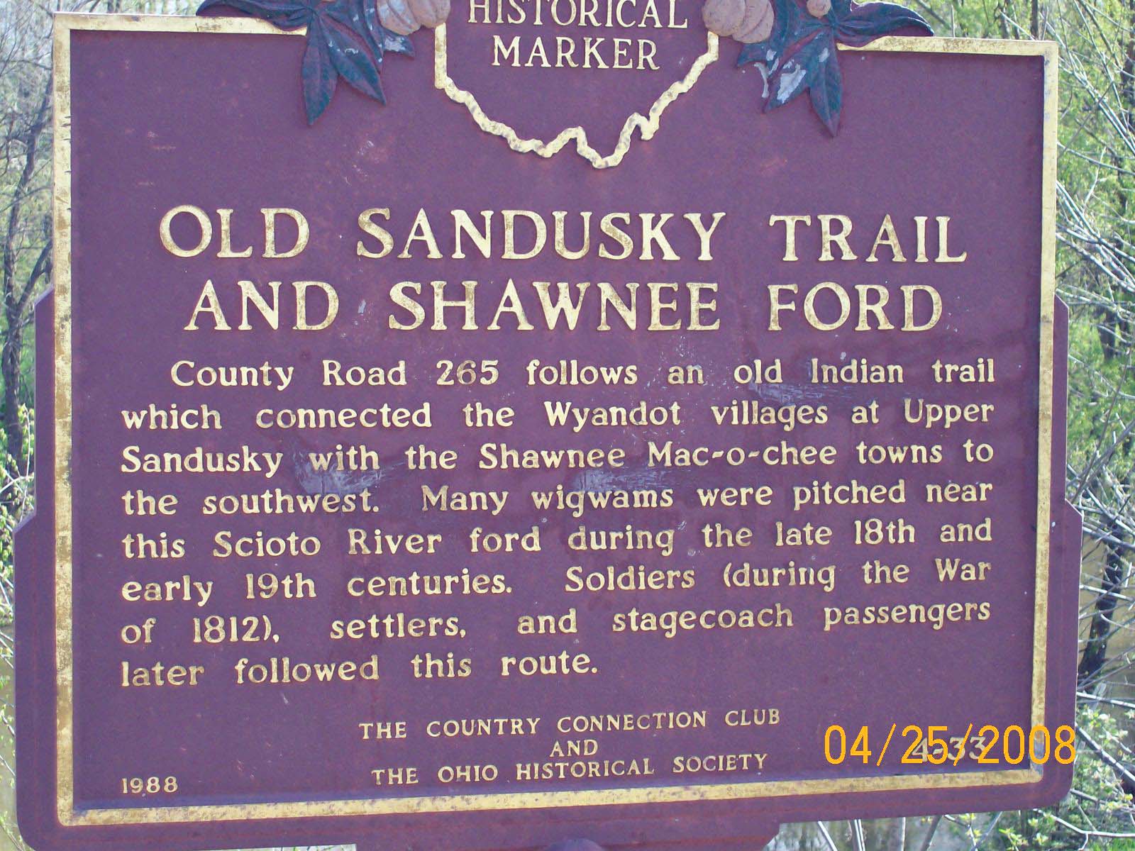
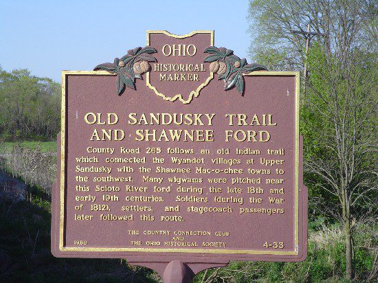
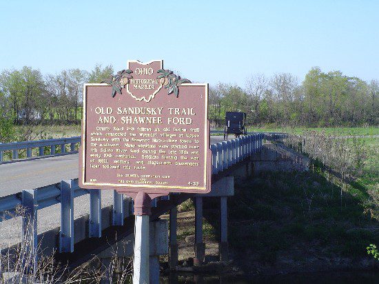
Side A: County Road 265 follows an old Indian trail which connected the Wyandot villages at Upper Sandusky with the Shawnee Mac-o-chee towns to the southwest. Many wigwams were pitched near this Scioto River ford during the late 18th and early 19th centuries. Soldiers (during the War of 1812), settlers, and stagecoach passengers later followed this route.
Side B: Same
Sponsors: The Country Connection Club and The Ohio Historical Society
Address: Intersection of TWP Rd 146 and Twp Rd 265, 
Kenton, 
OH, 
43326
Location: NE corner of intersection of TWP Rd 146 and Twp Rd 265
Latitude: 40.6192050
Longitude: -83.4999380