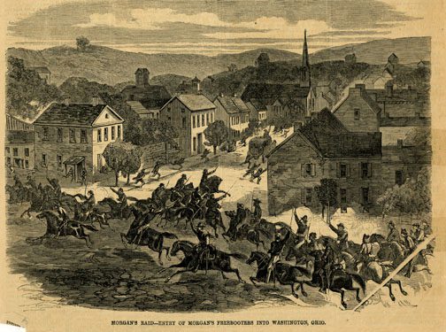
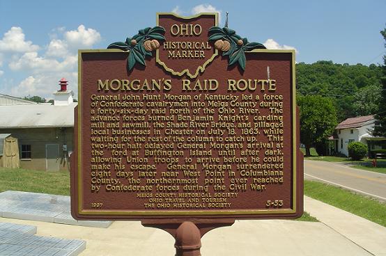
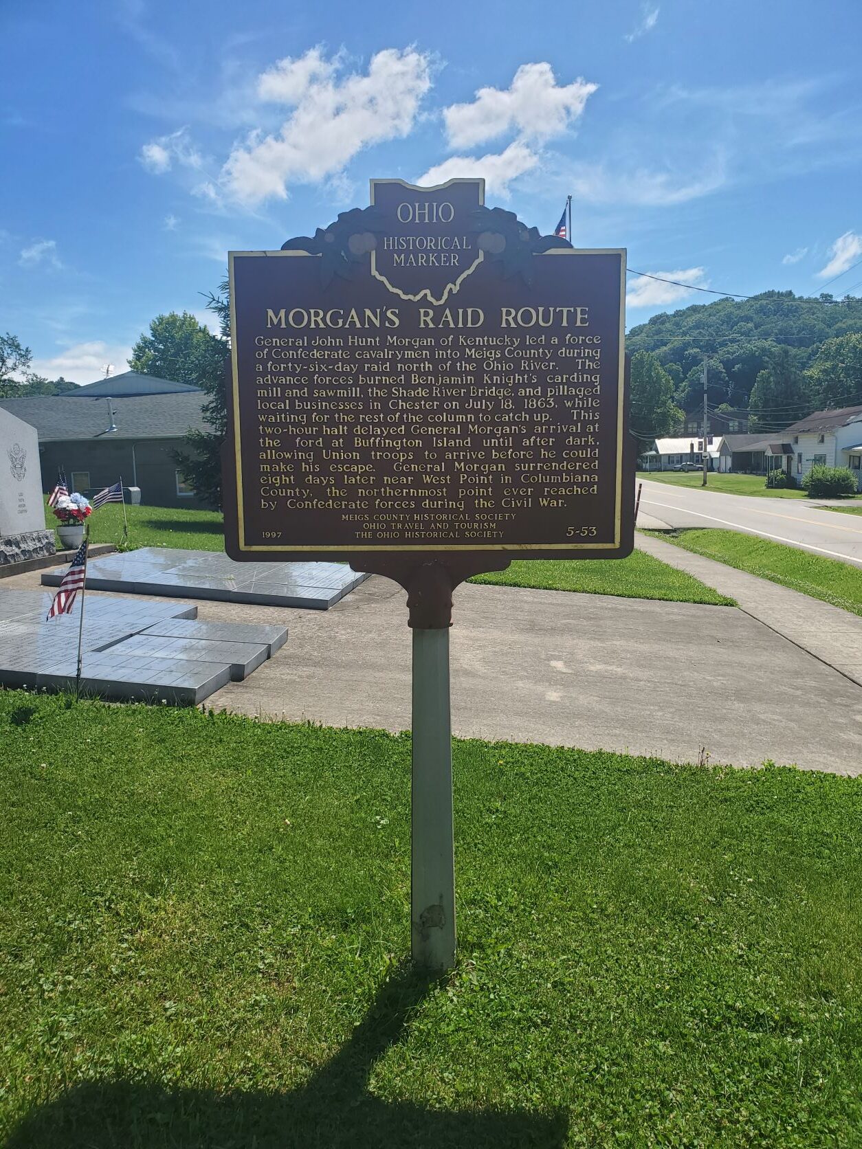
Side A: General John Hunt Morgan of Kentucky led a force of Confederate calvarymen into Meigs County during a forty-six day raid north of the Ohio River. The advance forces burned Benjamin Knight’s carding mill and sawmill, the Shade River Bridge, and pillaged local businesses in Chester on July 18, 1863, while waiting for the rest of the column to catch up. This two-hour halt delayed General Morgan’s arrival at the ford at Buffington Island until after dark, allowing Union troops to arrive before he could make his escape. General Morgan surrendered eight days later near West Point in Columbiana County, the northernmost point ever reached by Confederate forces during the Civil War.
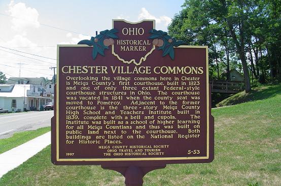
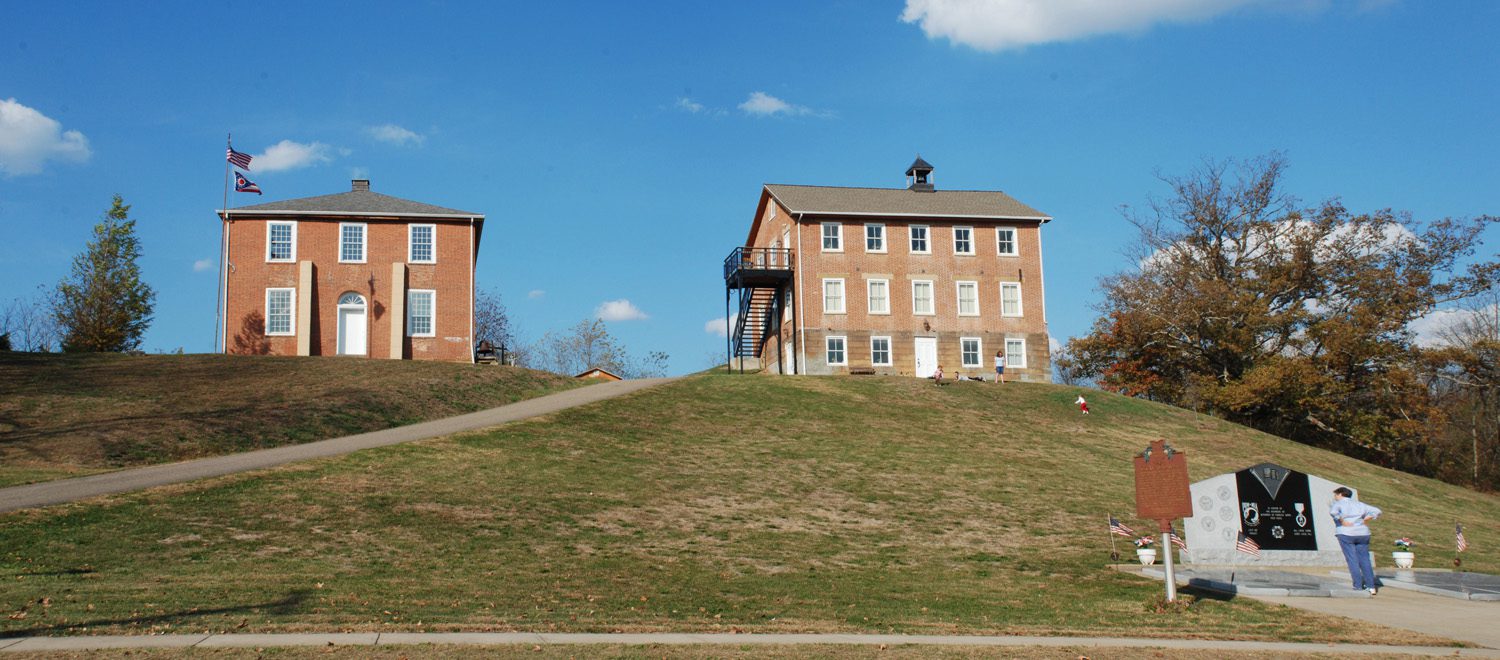
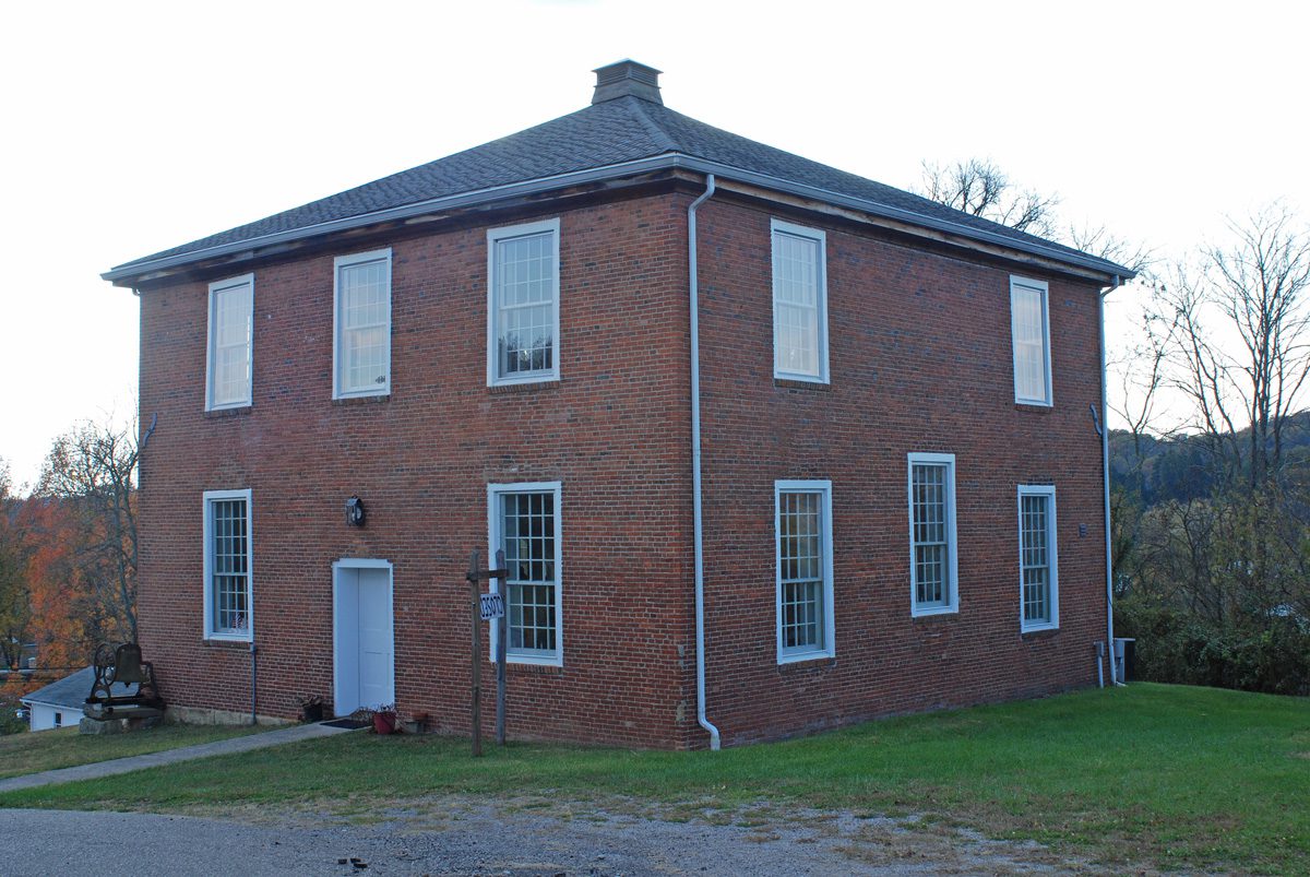
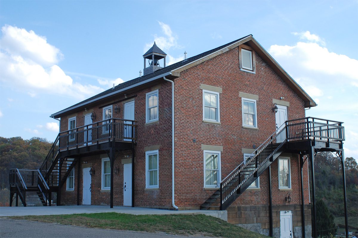
Side B: Overlooking the village of commons here in Chester is Meigs County’s first courthouse, built in 1823 and one of only three extant Federal-style courthouse structures in Ohio. The courthouse was vacated in 1841 when the county seat was moved to Pomeroy. Adjacent to the former courthouse is the three-story Meigs County High School and Teachers Institute build in 1839, complete with a bell and cupola. The Institute was built as a school of higher learning for all Meigs Countians and thus was built on public land next to the courthouse. Both buildings are listed on the National Register of Historic Places.