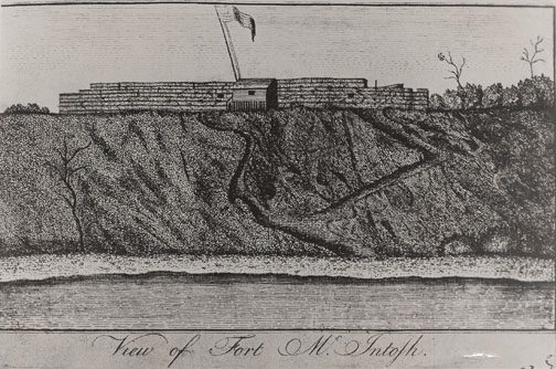
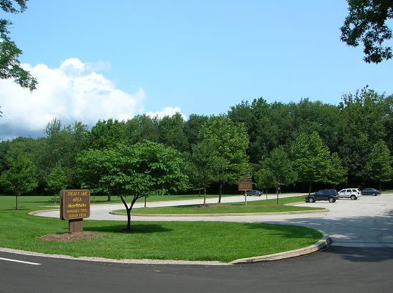
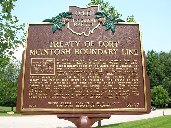
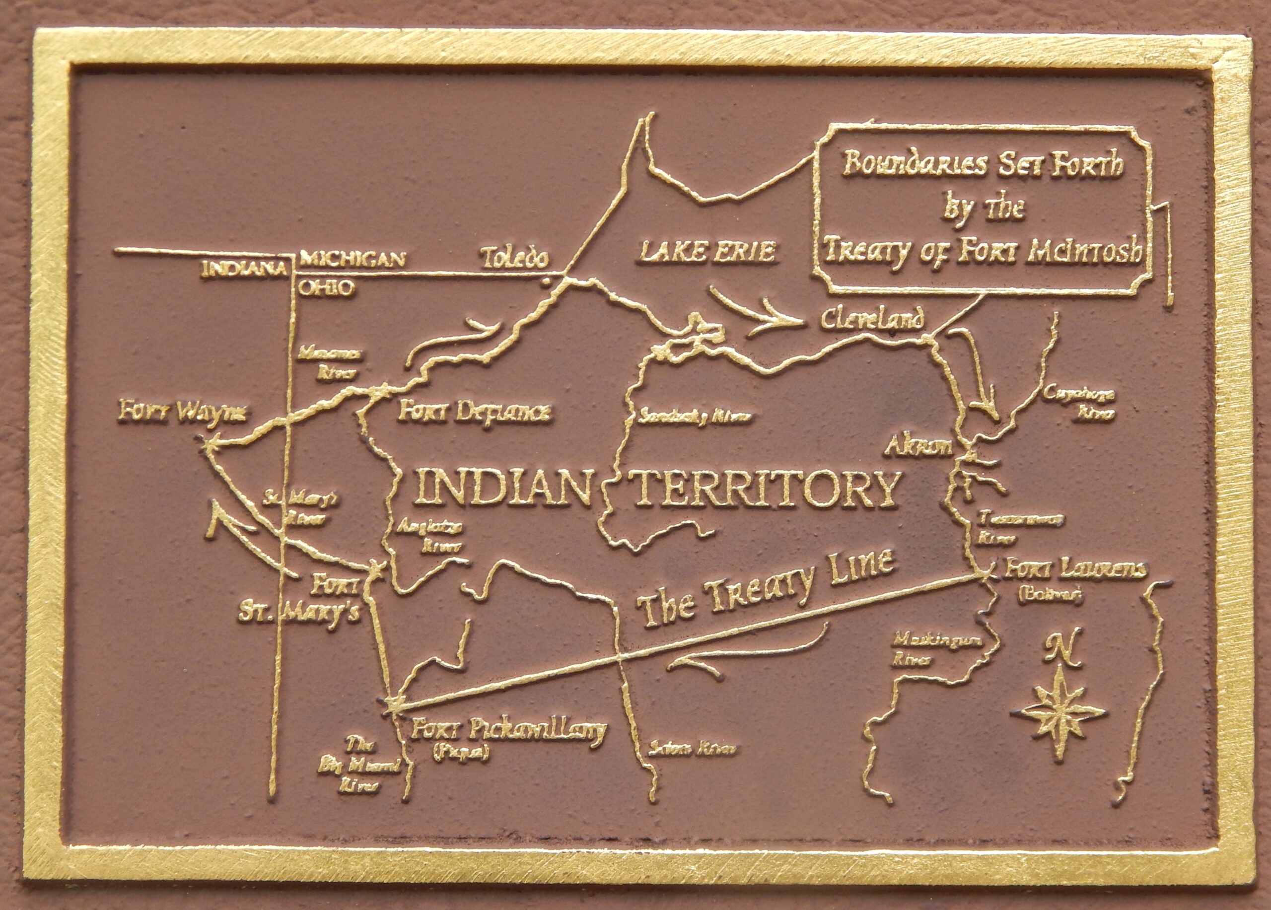
Side A: In 1785, American Indian tribal leaders from the Chippewa, Delaware, Ottawa, and Wyandot met with representatives sent by the United States Congress to sign the controversial Treaty of Fort McIntosh. The treaty surrendered control of Native American lands in southern and eastern Ohio to the United States government. Most Indians rejected the validity of the treaty and rather than improving relations, the Treaty of Fort McIntosh only intensified the tensions that existed between the United States government and the Indian tribes. This marker signifies the eastern most portion of the American Indian territory outlined by the treaty. The Portage Path, a trail used by American Indians as a portage between the Cuyahoga and Tuscarawas rivers, became a part of this boundary line.