Below is a complete listing of all Ohio Historical Markers. To find a detailed marker listing including text, photographs, and locations, click on a county below. Our listing is updated by the markers program as new markers are installed and older markers are reported damaged or missing.
ALERT (October 2024): Marker damaged and down awaiting replacement.
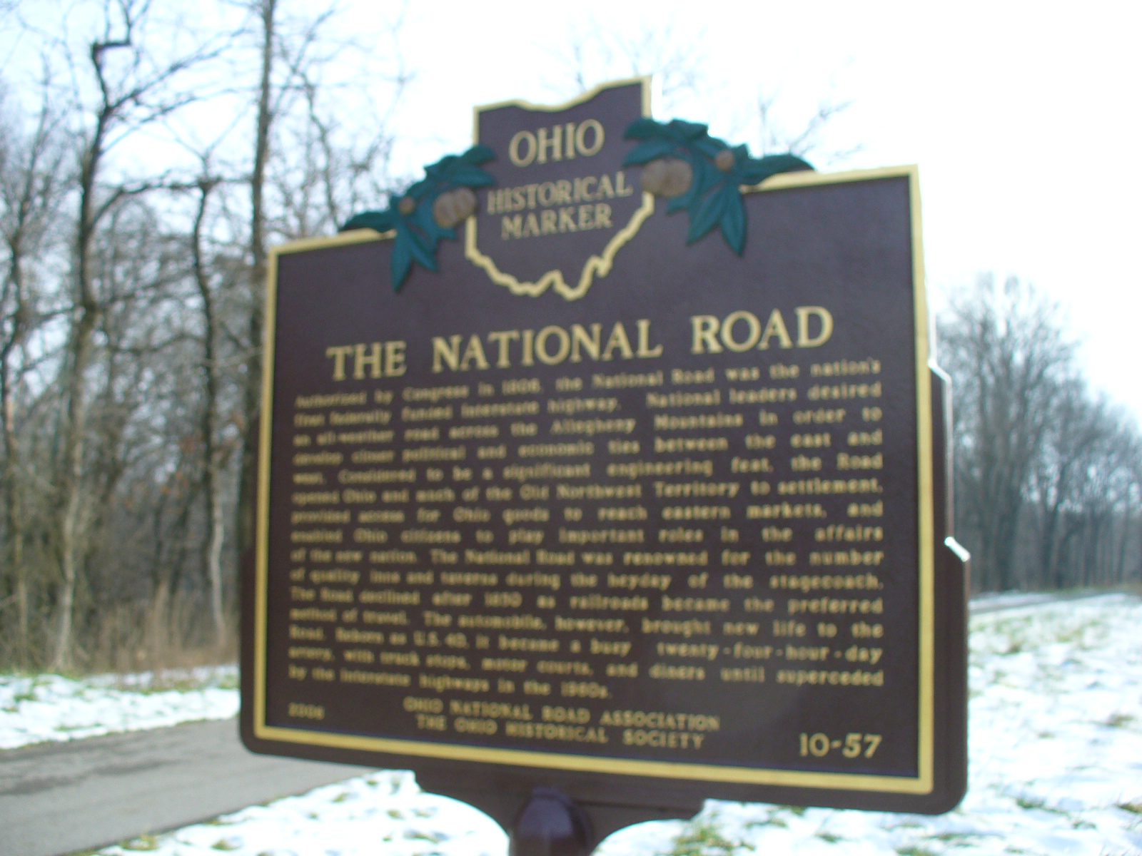
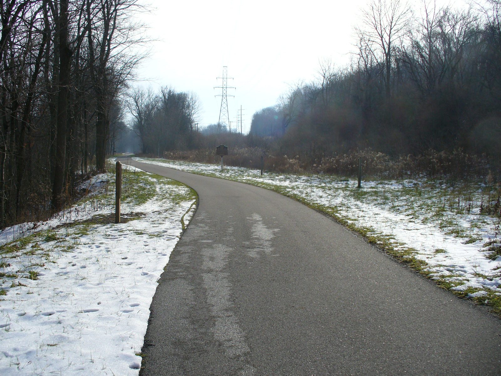
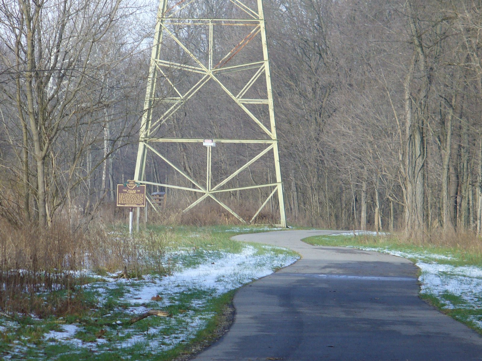
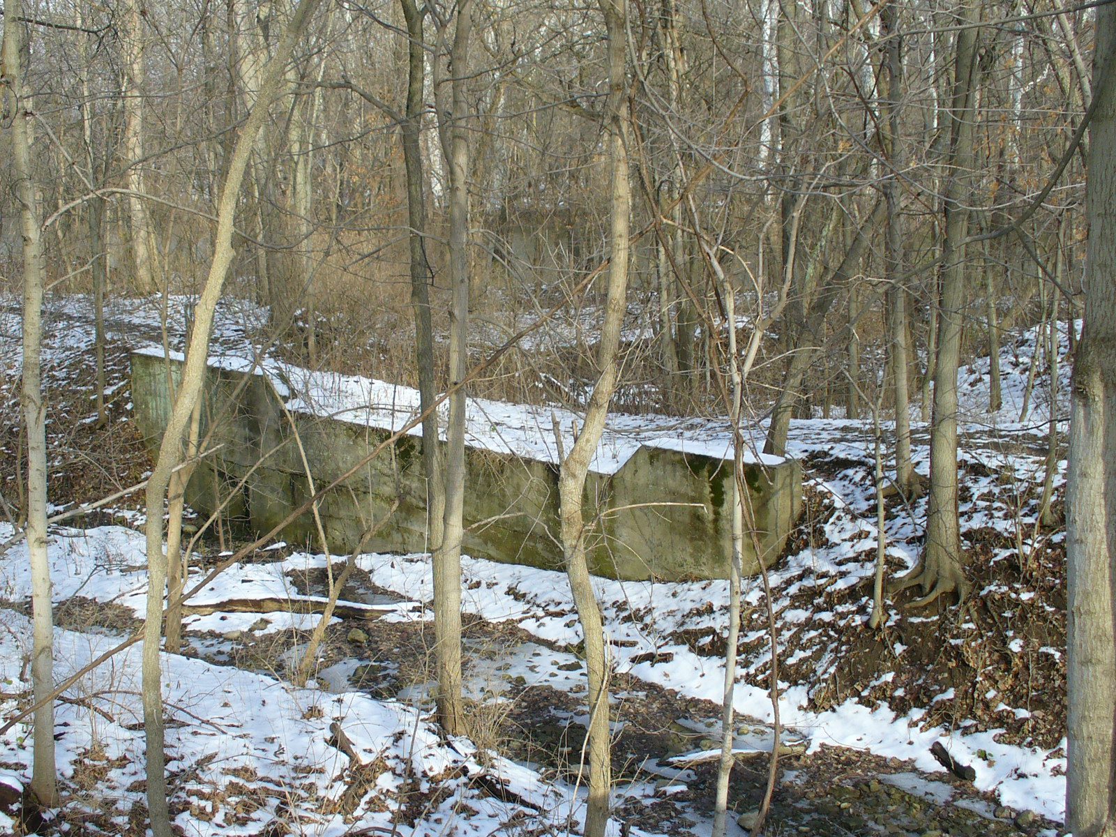
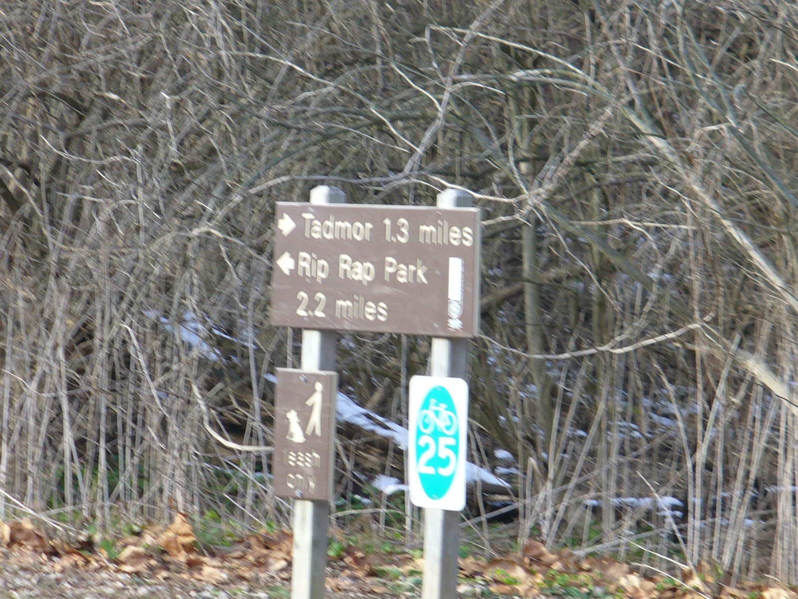
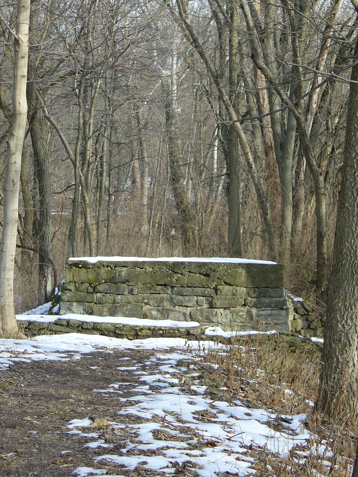
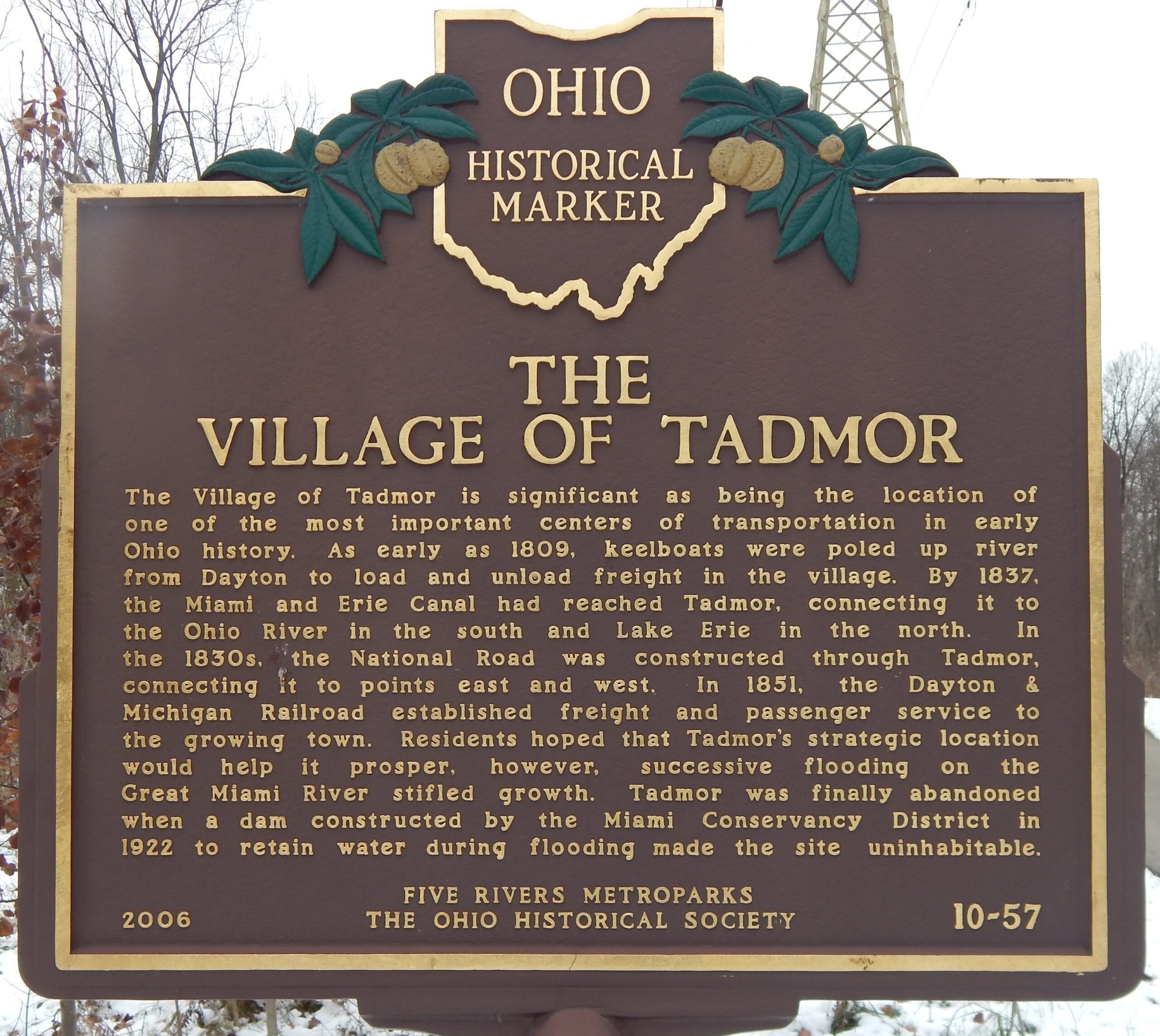
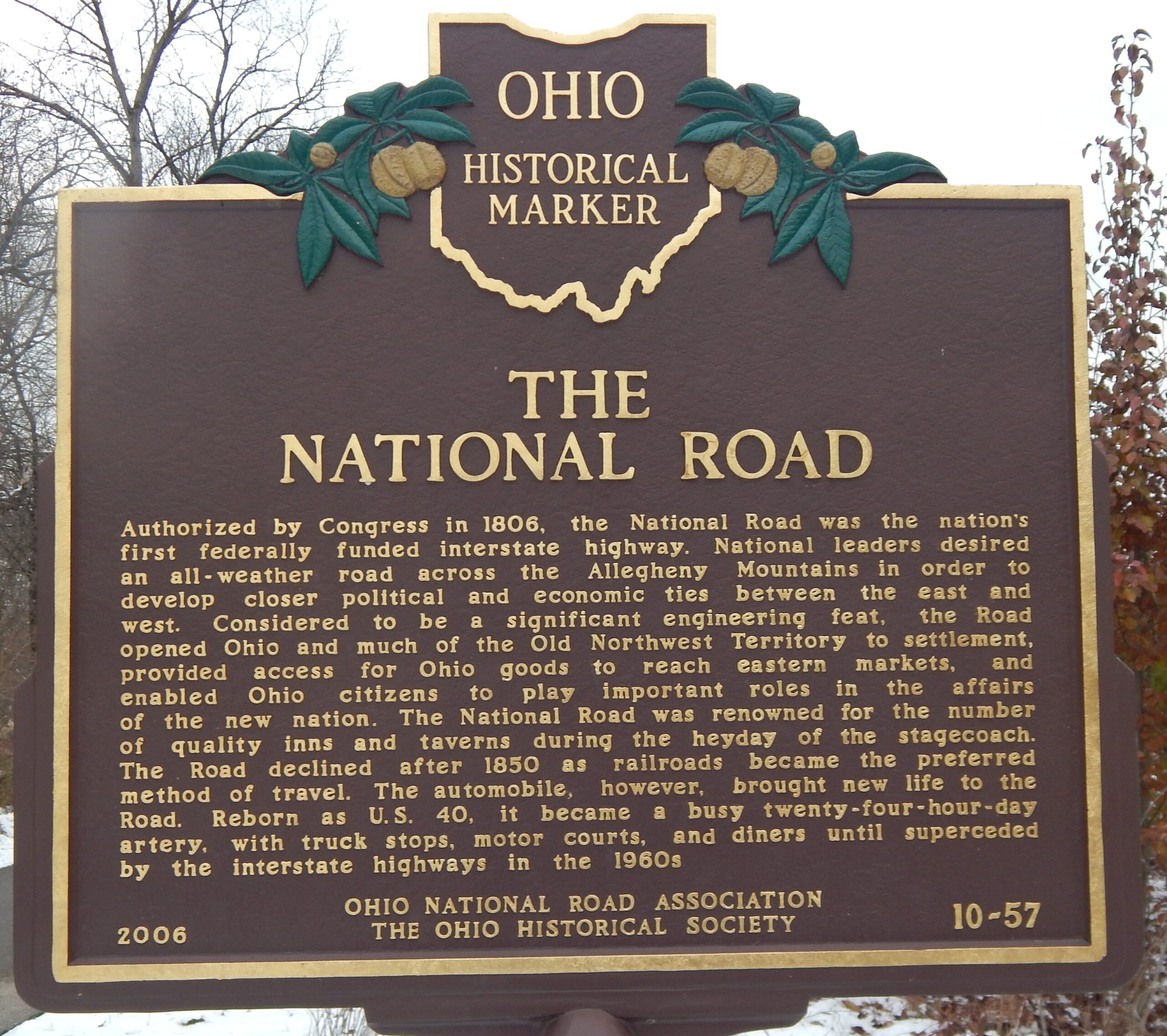
10-57 The Village of Tadmor / The National Road
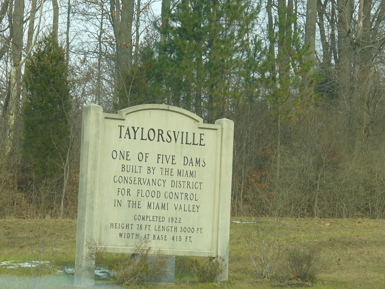
Side A: The Village of Tadmor is significant as being the location of one of the most important centers of transportation in early Ohio history. As early as 1809, keelboats were poled up river from Dayton to load and unload freight in the village. By 1837, the Miami and Erie Canal had reached Tadmor, connecting it to the Ohio River in the south and Lake Erie in the north. In the 1830s, the National Road was constructed through Tadmor, connecting it to points east and west. In 1851, the Dayton & Michigan Railroad established freight and passenger service to the growing town. Residents hoped that Tadmor’s strategic location would help it prosper, however, successive flooding on the Great Miami River stifled growth. Tadmor was finally abandoned when a dam constructed by the Miami Conservancy District in 1922 to retain water during flooding made the site uninhabitable.
Side B: Authorized by Congress in 1806, the National Road was the nation’s first federally funded interstate highway. National leaders desired an all-weather road across the Allegheny Mountains in order to develop closer political and economic ties between the east and west. Considered to be a significant engineering feat, the Road opened Ohio and much of the Old Northwest Territory to settlement, provided access for Ohio goods to reach eastern markets, and enabled Ohio citizens to play important roles in the affairs of the new nation. The National Road was renowned for the number of quality inns and taverns during the heyday of the stagecoach. The Road declined after 1850 as railroads became the preferred method of travel. The automobile, however, brought new life to the Road. Reborn as U.S. 40, it became a busy twenty-four-hour-day artery, with truck stops, motor courts, and diners until superceded by the interstate highways in the 1960s.