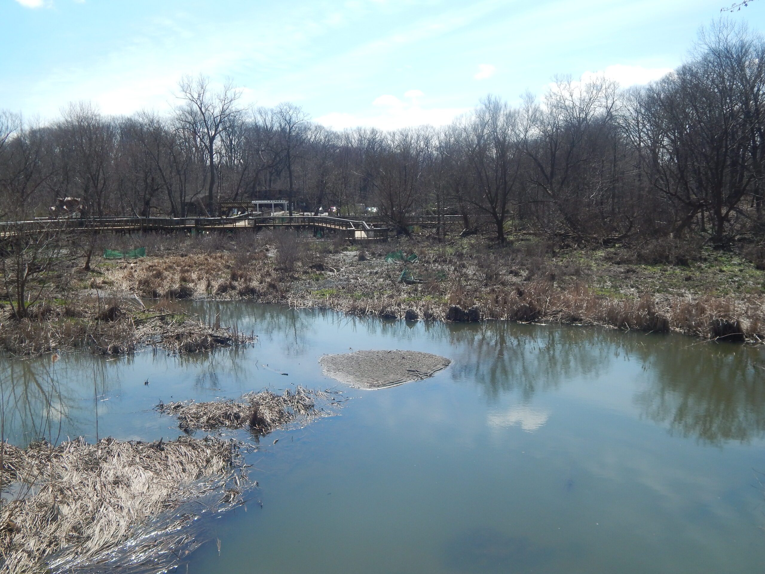
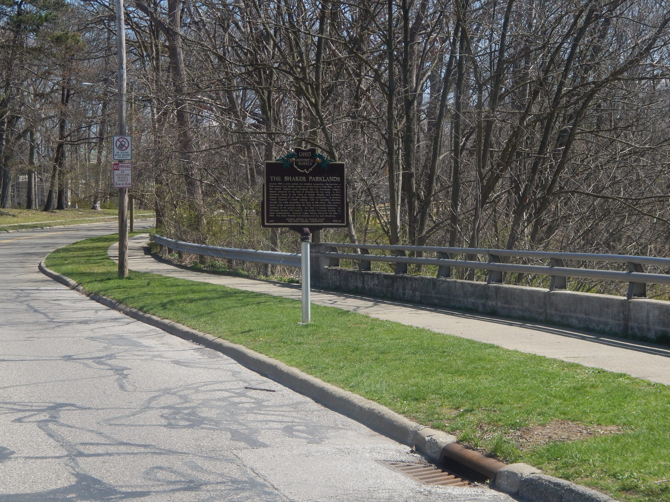
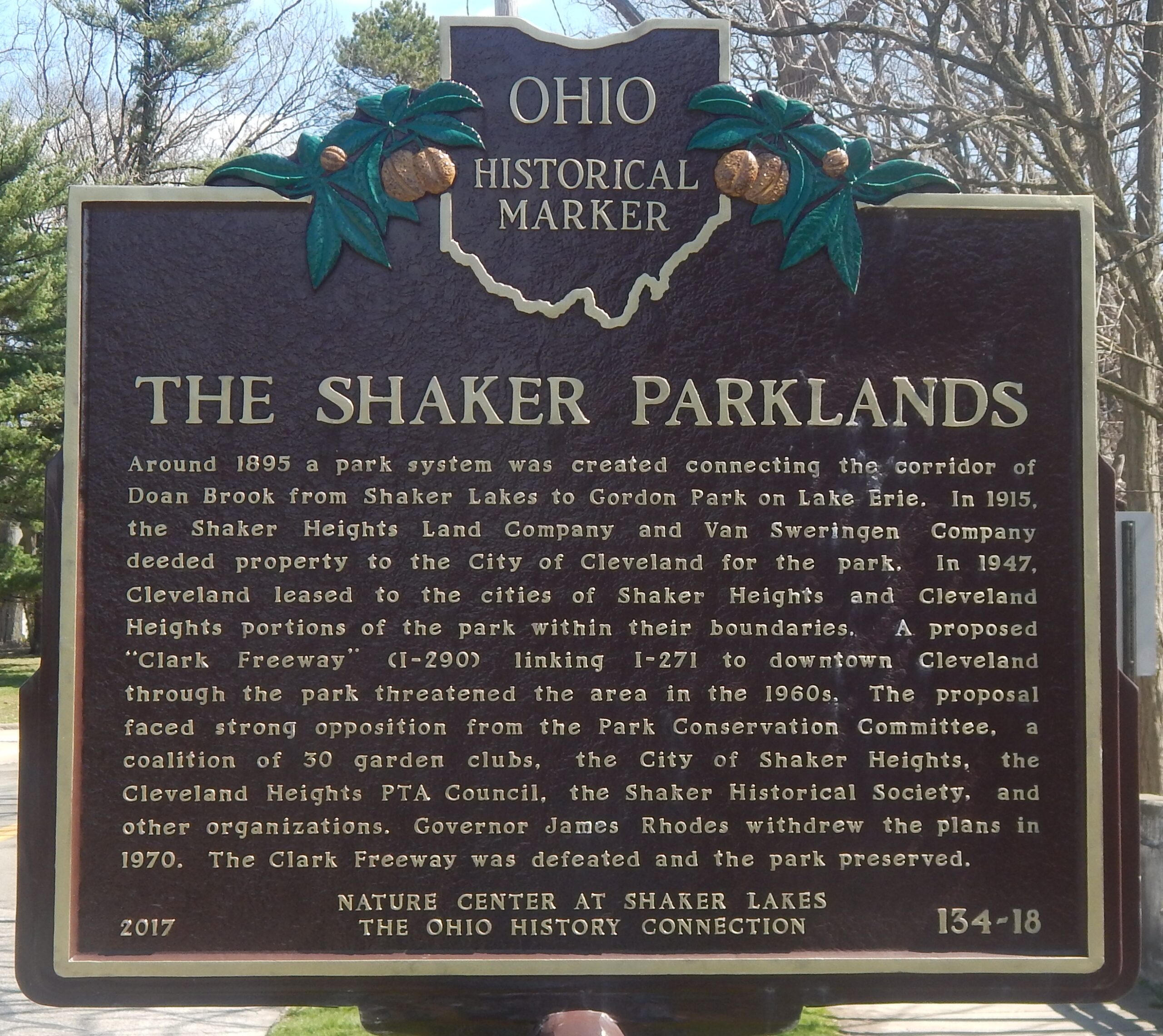
Side A: Around 1895 a park system was created connecting the corridor of Doan Brook from Shaker Lakes to Gordon Park on Lake Erie. In 1915, the Shaker Heights Land Company and Van Sweringen Company deeded property to the City of Cleveland for the park. In 1947, Cleveland leased to the cities of Shaker Heights and Cleveland Heights portions of the park within their boundaries. A proposed “Clark Freeway” (I-290) linking I-271 to downtown Cleveland through the park threatened the area in the 1960s. The proposal faced strong opposition from the Park Conservation Committee, a coalition of 30 garden clubs, the City of Shaker Heights, the Cleveland Heights PTA Council, the Shaker Historical Society, and other organizations. Governor James Rhodes withdrew the plans in 1970. The Clark Freeway was defeated and the park preserved.
Side B: The Park Conservation Committee incorporated the Shaker Lakes Regional Nature Center in 1966 during the “freeway fight.” The building opened in 1969 and it continues to serve efforts to conserve this natural area and provide environmental education. In 1971 the United States Department of the Interior named the Nature Center a National Environmental Educational Landmark. In 2003 the Audubon Society designated the Center as a worldwide Important Bird Area. After renovating and expanding its facilities in 2003 using sustainable building practices, the Nature Center received the U.S. Environmental Protection Agency’s 2004 Energy Star Award for Excellence in Energy Efficiency.