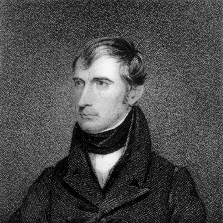
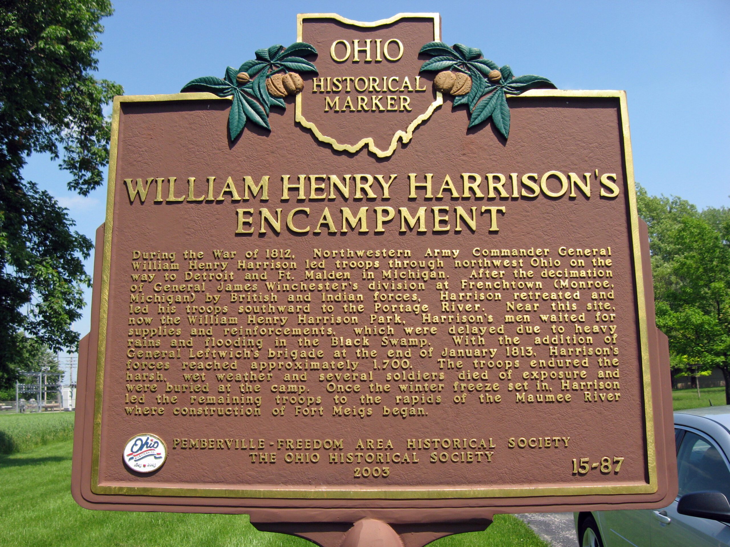
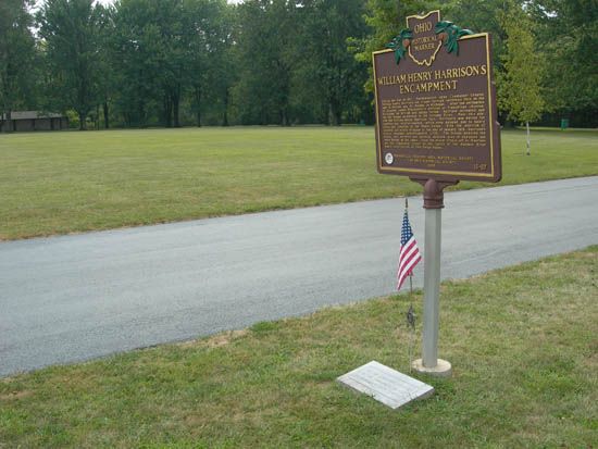
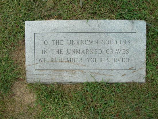
Side A: During the War of 1812, Northwestern Army Commander General William Henry Harrison led troops through northwest Ohio on the way to Detroit and Ft. Malden in Michigan. After the decimation of General James Winchester’s division at Frenchtown (Monroe, Michigan) by British and Indian forces, Harrison retreated and led his troops southward to the Portage River. Near this site, now the William Henry Harrison Park, Harrison’s men waited for supplies and reinforcements, which were delayed due to heavy rains and flooding in the Black Swamp. With the addition of General Leftwich’s brigade at the end of January 1813, Harrison’s forces reached approximately 1,700. The troops endured the harsh, wet weather and several soldiers died of exposure and were buried at the camp. Once the winter freeze set in, Harrison led the remaining troops to the rapids of the Maumee River where construction of Fort Meigs began.