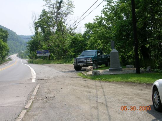
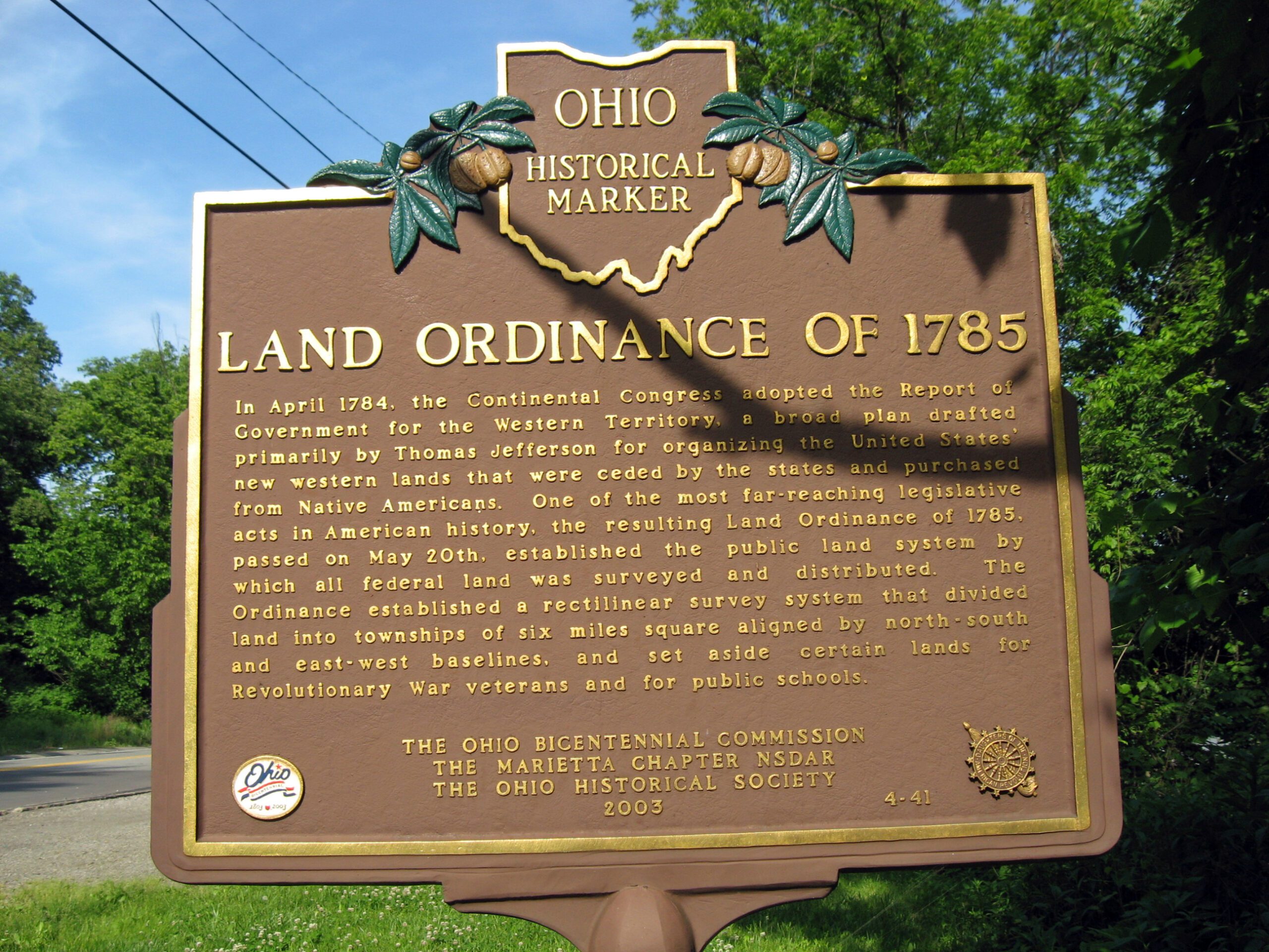
Side A: In April 1784, the Continental Congress adopted the Report of Government for the Western Territory, a broad plan drafted primarily by Thomas Jefferson for organizing the United States’ new western lands that were ceded by the states and purchased from Native Americans. One of the most far-reaching legislative acts in American history, the resulting Land Ordinance of 1785, passed on May 20th, established the public land system by which all federal land was surveyed and distributed. The Ordinance established a rectilinear survey system that divided land into townships of six miles square aligned by north-south and east-west baselines, and set aside certain lands for Revolutionary War veterans and for public schools.
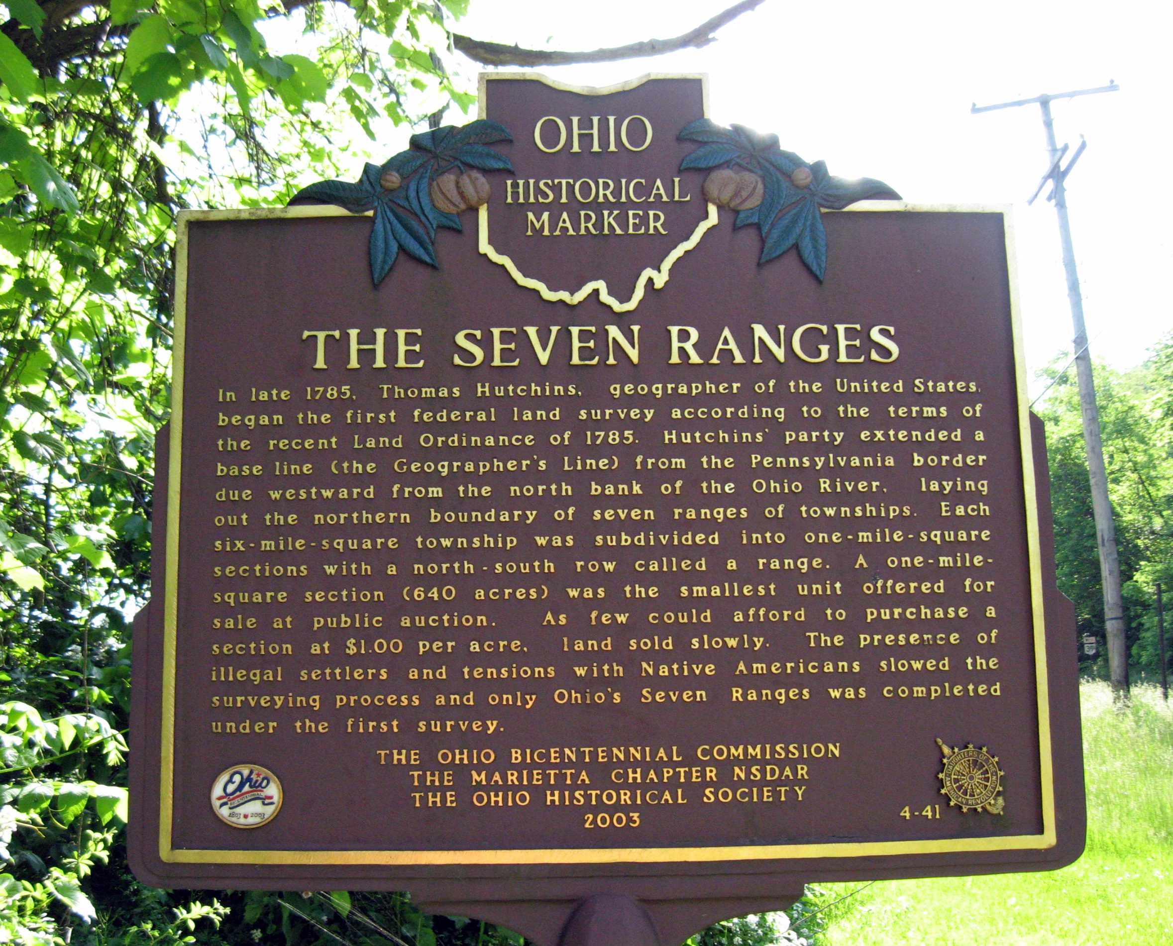
Side B: In late 1785, Thomas Hutchins, geographer of the United States, began the first federal land survey according to the terms of the recent Land Ordinance of 1785. Hutchins’ party extended a base line (the Geographer’s Line) from the Pennsylvania border due westward from the north bank of the Ohio River, laying out the northern boundary of seven ranges of townships. Each six-mile-square township was subdivided into one-mile-square sections with a north-south row called a range. A one-mile-square section (640 acres) was the smallest unit offered for sale at public auction. As few could afford to purchase a section at $1.00 per acre, land sold slowly. The presence of illegal settlers and tensions with Native Americans slowed the surveying process and only Ohio’s Seven Ranges was completed under the first survey.