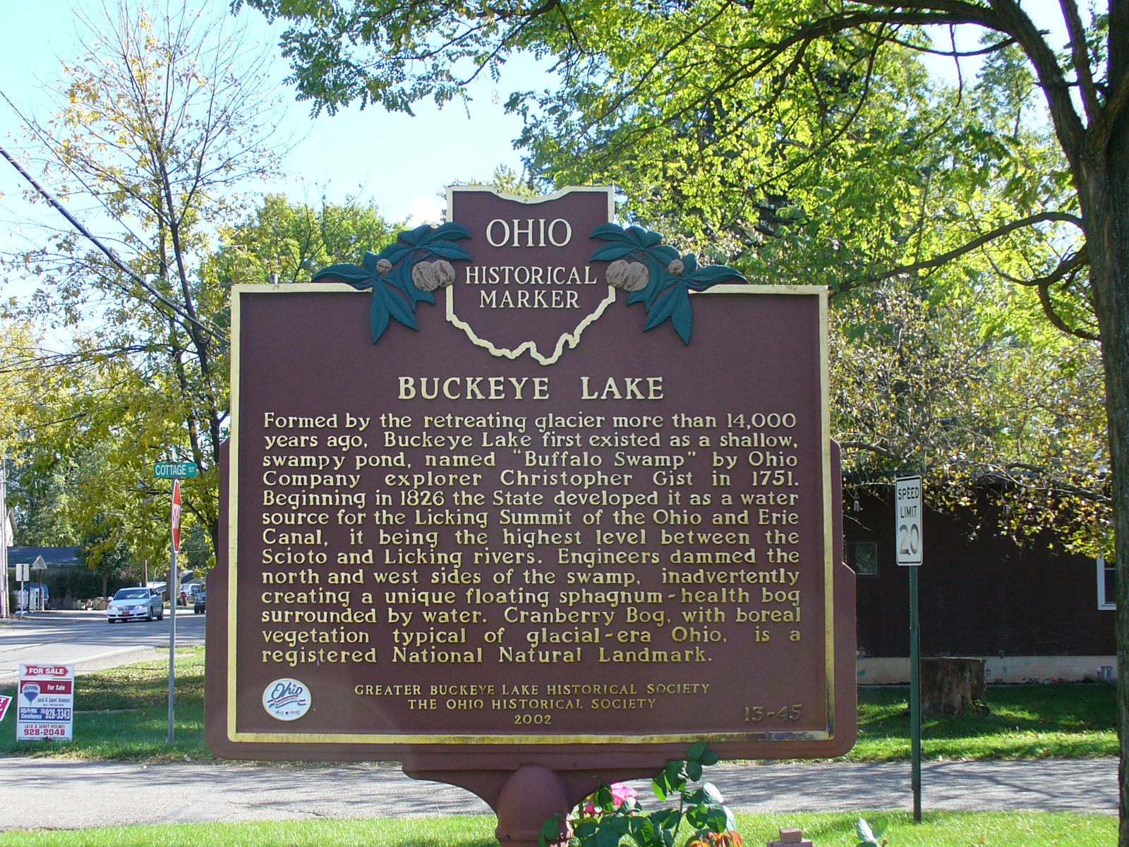
Side A: Formed by the retreating glacier more than 14,000 years ago, Buckeye Lake first existed as a shallow, swampy pond, named “Buffalo Swamp” by Ohio Company explorer Christopher Gist in 1751. Beginning in 1826 the State developed it as a water source for the Licking Summit of the Ohio and Erie Canal, it being the highest level between the Scioto and Licking rivers. Engineers dammed the north and west sides of the swamp, inadvertently creating a unique floating sphagnum-heath bog surrounded by water. Cranberry Bog, with boreal vegetation typical of glacial-era Ohio, is a registered National Natural Landmark. (continued on other side)
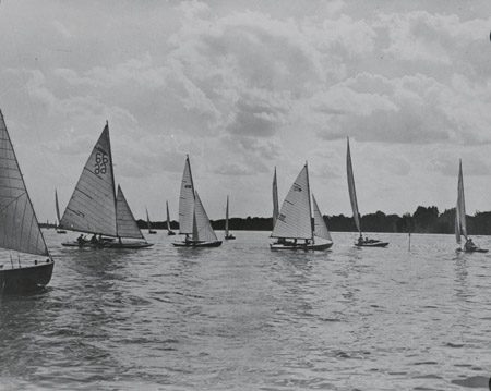
Side B: (continued from other side) After the summit level of the canal became inactive in the 1890s, the State developed Licking Summit Reservoir (Buckeye Lake) for recreation. The lake has 3,800 acres of water, 35 miles of shoreline, and twenty islands. Millersport, Buckeye Lake Village, Thornport/Thornville and Hebron all developed as a result of the lake and canal system. Buckeye Lake Park, a popular regional resort, operated until the mid 1960s. Today the lake area has become the water recreation center of central Ohio, providing boating, swimming, fishing, water skiing, golfing, picnicking, and ice sports. The lake extends into three counties – Fairfield, Licking and Perry.