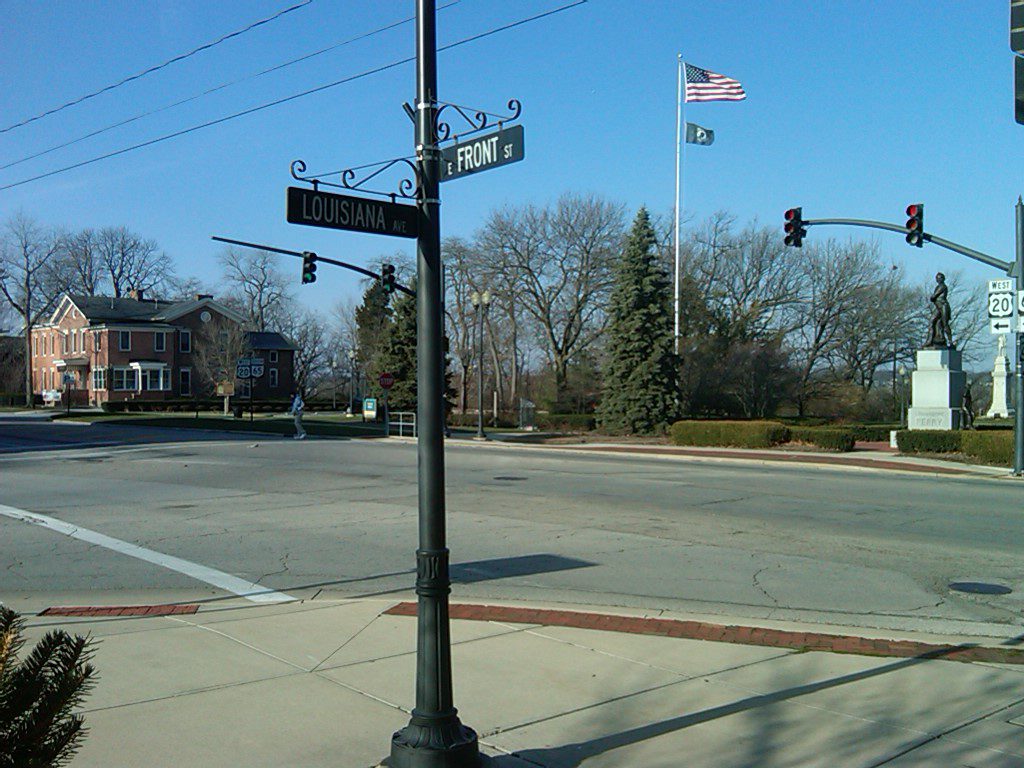
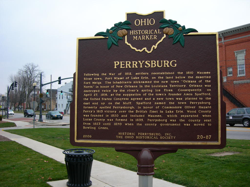
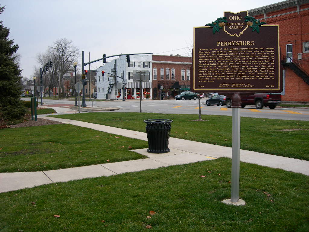
Side A: Following the War of 1812, settlers reestablished the 1810 Maumee River town, Port Miami of Lake Erie, on the land below the deserted Fort Meigs. The inhabitants nicknamed the new town “Orleans of the North” in honor of New Orleans in the Louisiana Territory. Orleans was destroyed twice by the river’s spring ice floes. Consequently, on April 27, 1816, at the suggestion of the town’s founder Amos Spafford, the United States Congress agreed and a new town was platted to the east and up on the bluff. Spafford named the town Perrysburg, formerly spelled Perrysburgh, in honor of Commodore Oliver Hazard Perry’s 1813 victory over the British fleet in Lake Erie. Wood County was founded in 1820 and included Maumee, which separated when Lucas County was formed in 1835. Perrysburg was the county seat from 1823 until 1870 when the county government was moved to Bowling Green.
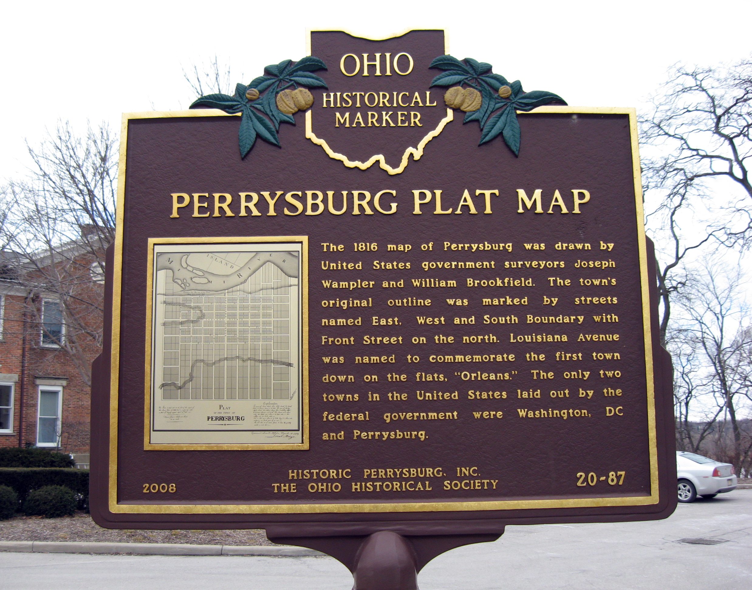
Side B: [PLAT MAP] The 1816 map of Perrysburg was drawn by United States government surveyors Joseph Wampler and William Brookfield. The town’s original outline was marked by streets named East, West and South Boundary with Front Street on the north. Louisiana Avenue was named to commemorate the first town down on the flats, “Orleans.” The only two towns in the United States laid out by the federal government were Washington, DC and Perrysburg.