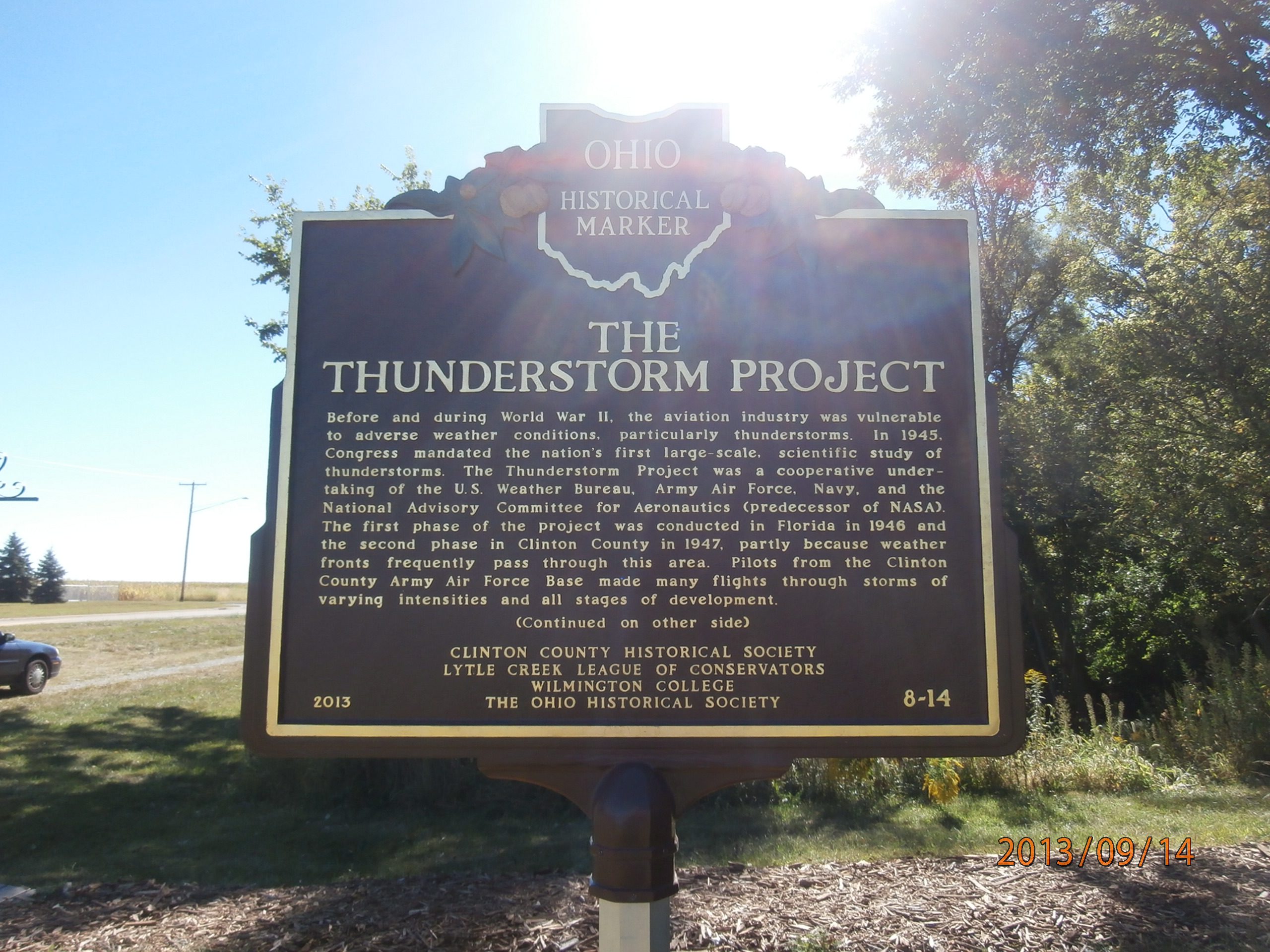
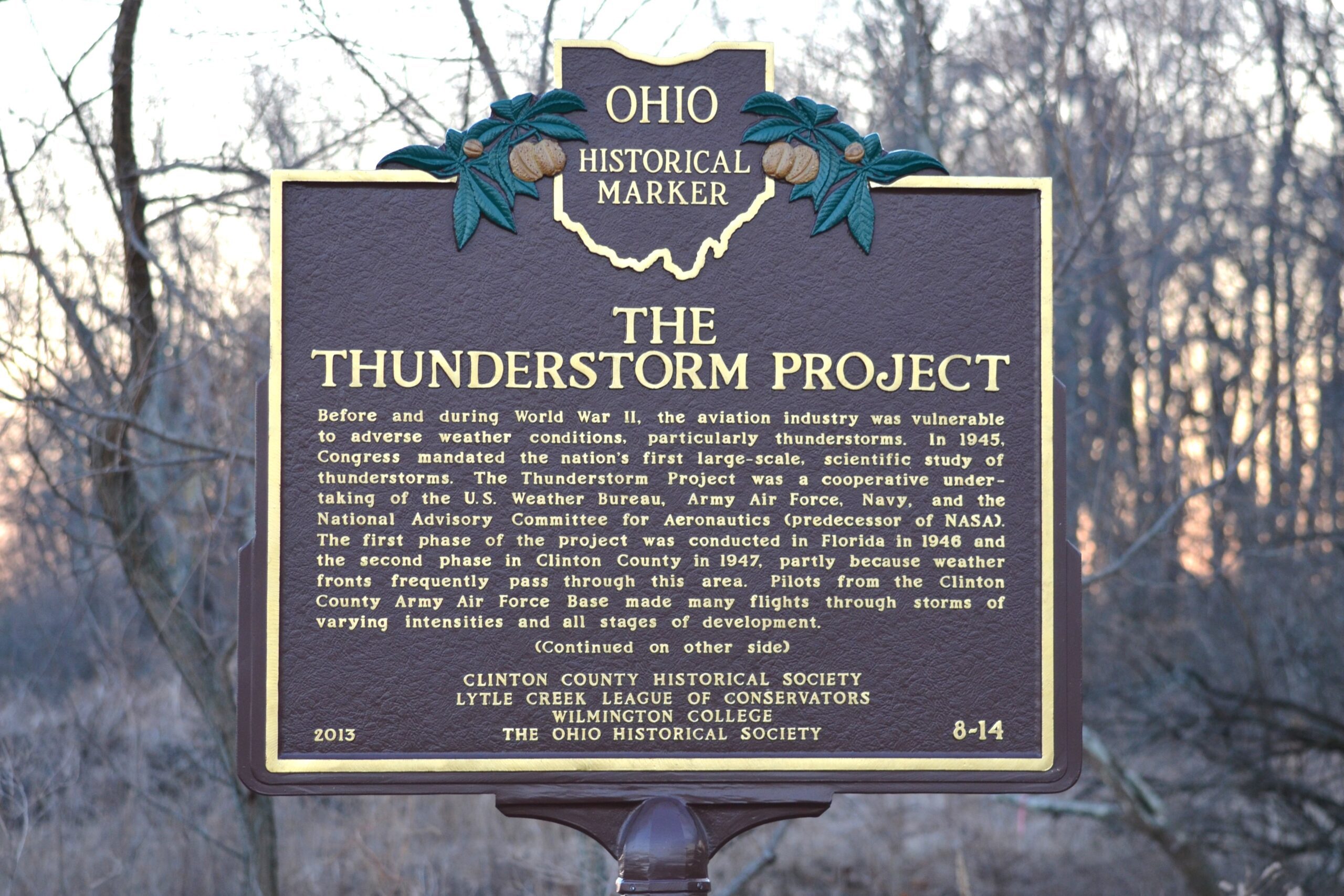
Side A: Before and during World War II, the aviation industry was vulnerable to adverse weather conditions, particularly thunderstorms. In 1945, Congress mandated the nation’s first large-scale, scientific study of thunderstorms. The Thunderstorm Project was a cooperative undertaking of the U.S. Weather Bureau, Army Air Force, Navy, and the National Advisory Committee for Aeronautics (predecessor of NASA). The first phase of the project was conducted in Florida in 1946 and the second phase in Clinton County in 1947, partly because weather fronts frequently pass through this area. Pilots from the Clinton County Army Air Force Base made many flights through storms of varying intensities and all stages of development. (Continued on other side)
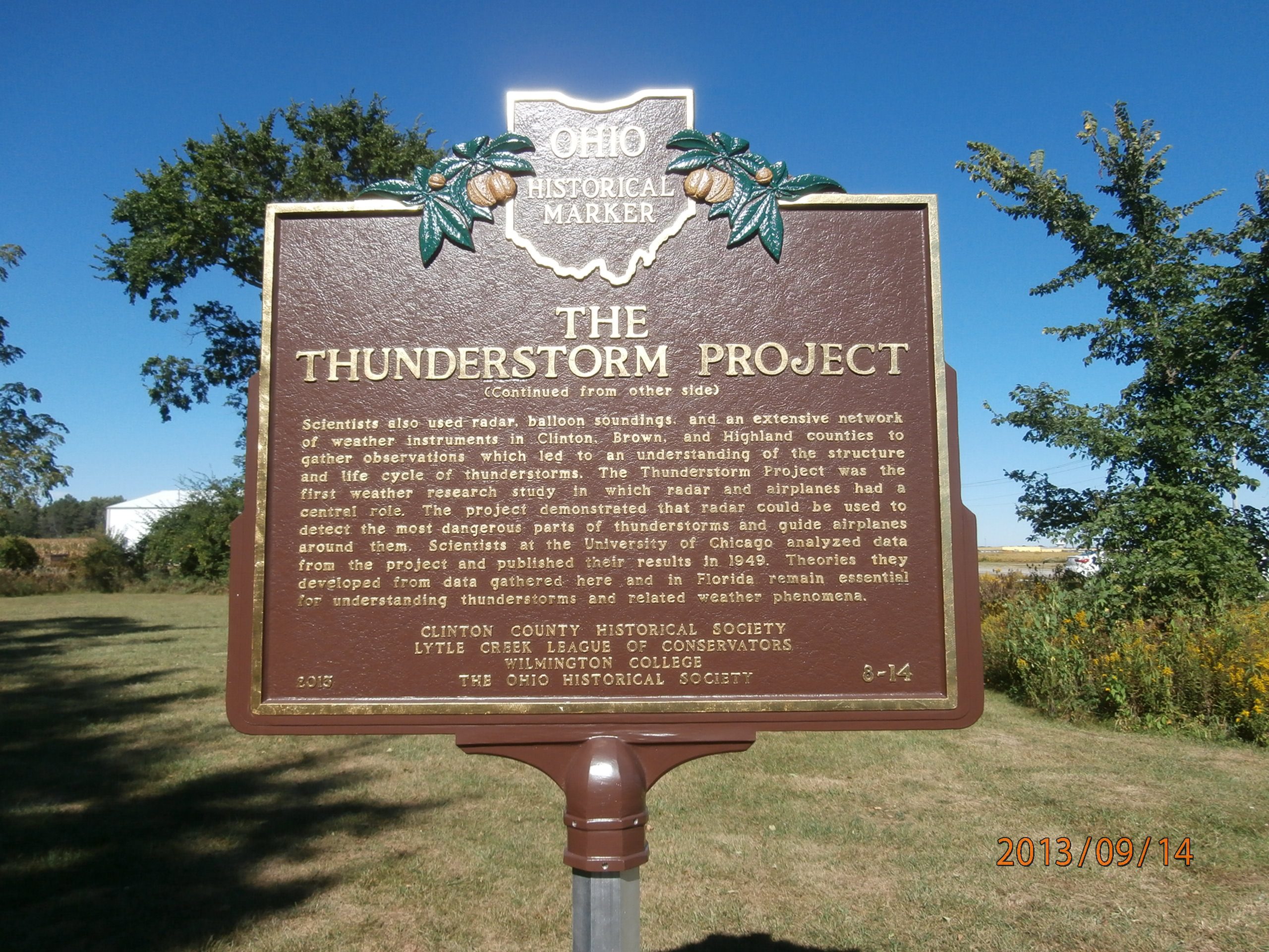
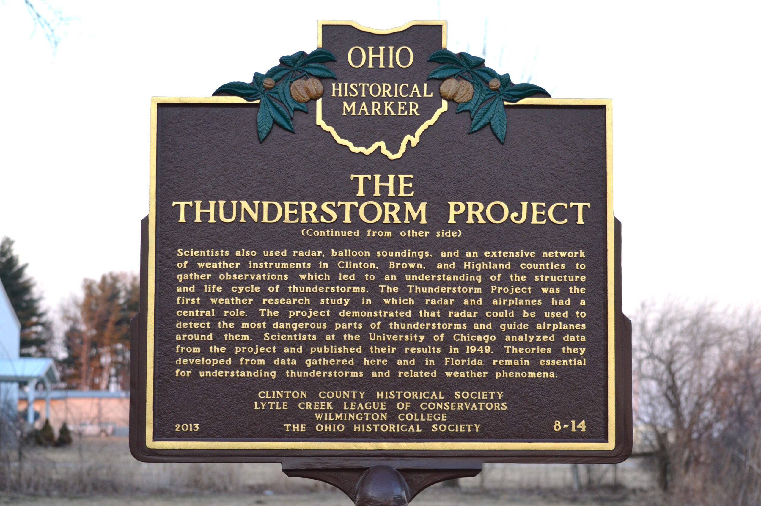
Side B: (Continued from other side) Scientists also used radar, balloon soundings, and an extensive network of weather instruments in Clinton, Brown, and Highland counties to gather observations which led to an understanding of the structure and life cycle of thunderstorms. The Thunderstorm Project was the first weather research study in which radar and airplanes had a central role. The project demonstrated that radar could be used to detect the most dangerous parts of thunderstorms and guide airplanes around them. Scientists at the University of Chicago analyzed data from the project and published their results in 1949. Theories they developed from data gathered here and in Florida remain essential for understanding thunderstorms and related weather phenomena.
Sponsors: Clinton County Historical Society, Lytle Creek League of Conservators, Wilmington College, The Ohio Historical Society