Side A: Two Deputy U.S. General Land Office Surveyors traversed Goll Woods: Benjamin Hough in 1815 and Captain James Riley in 1821. Hough (1772-1819) established the Michigan Meridian in 1815 and was county and state office holder in Ohio. Riley’s life was more tumultuous. Riley (1777-1840) captained the merchant ship Commerce, which wrecked off the Saharan coast in 1815. Riley and crew were enslaved for four months until ransomed by British diplomat William Willshire. In 1817, Riley published a famous account of his time in North Africa, and, in 1819, was appointed a surveyor by Surveyor General Edward Tiffin. Moving to Northwest Ohio, Riley named the village he founded in 1822, Willshire, for his deliverer. Riley returned to New York in 1826 and to the sea, where he died. Riley’s book went through more than twenty editions by 1860 and Abraham Lincoln credited the account as one that influenced him deeply.
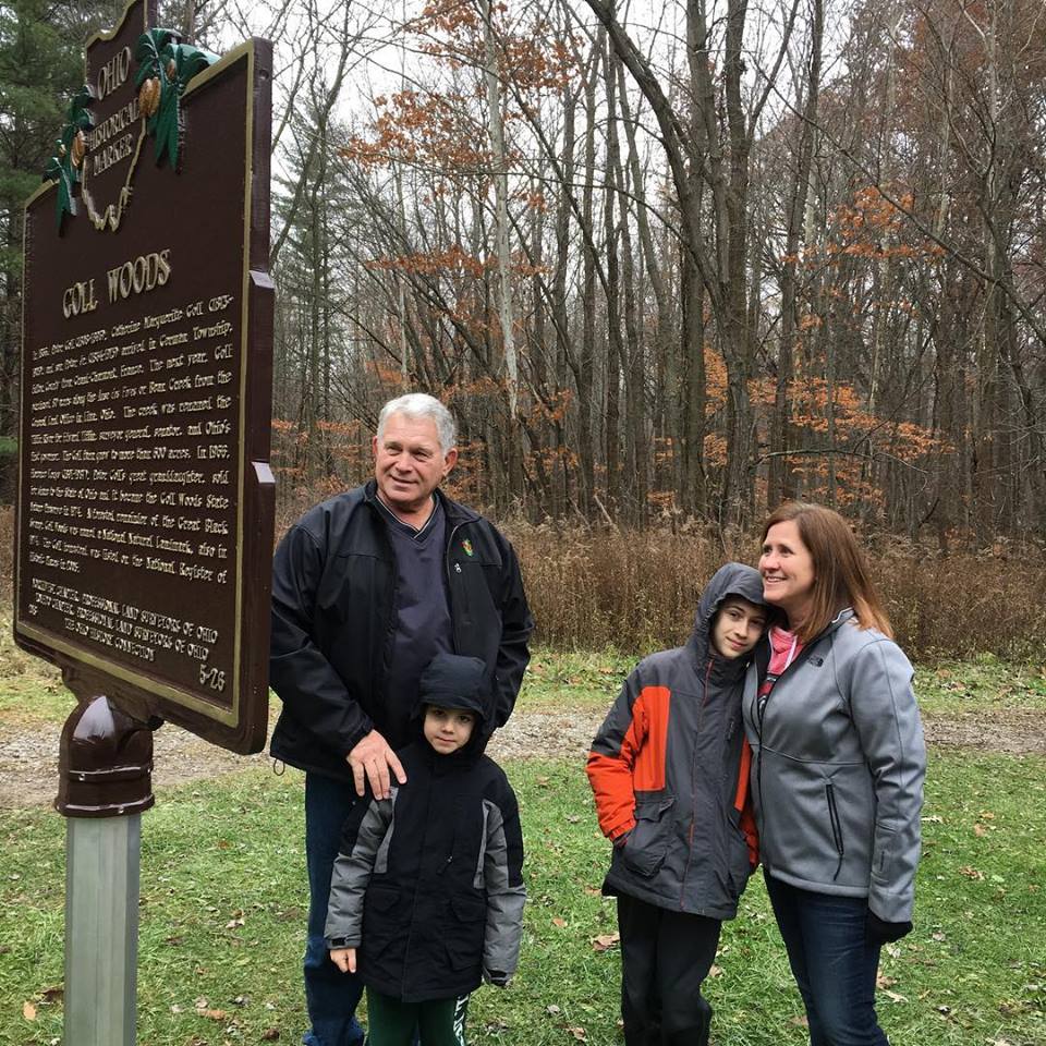
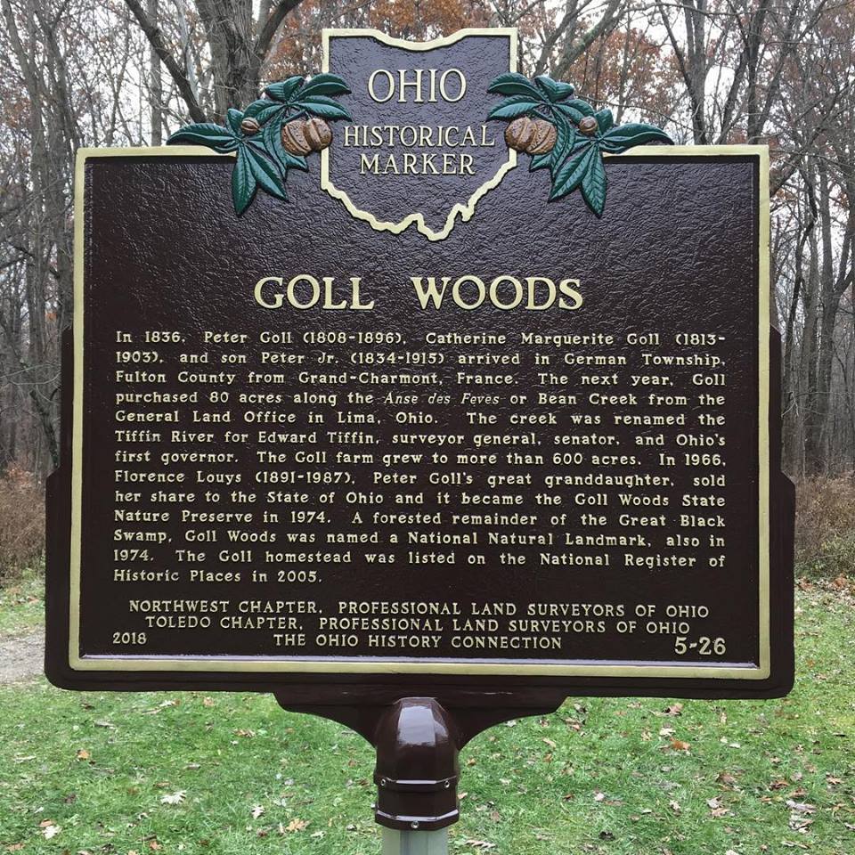
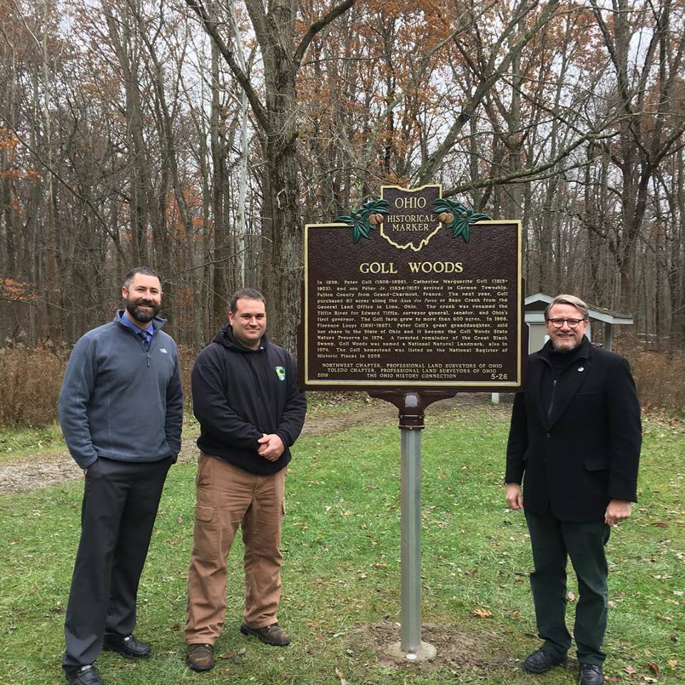
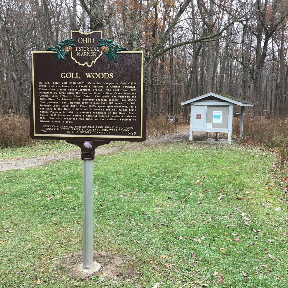
Side B: In 1836, Peter Goll (1808-1896), Catherine Marguerite Goll (1813-1903), and son Peter Jr. (1834-1915) arrived in German Township, Fulton County from Grand-Charmont, France. The next year, Goll purchased 80 acres along the Anse des Feves or Bean Creek from the General Land Office in Lima, Ohio. The creek was renamed the Tiffin River for Edward Tiffin, surveyor general, senator, and Ohio’s first governor. The Goll farm grew to more than 600 acres. In 1966, Florence Louys (1891-1987), Peter Goll’s great granddaughter, sold her share to the State of Ohio and it became the Goll Woods State Nature Preserve in 1974. A forested remainder of the Great Black Swamp, Goll Woods was named a National Natural Landmark, also in 1974. The Goll homestead was listed on the National Register of Historic Places in 2005.
Sponsors: Northwest Chapter, Professional Land Surveyors of Ohio; Toledo Chapter, Professional Land Surveyors of Ohio; Ohio History Connection