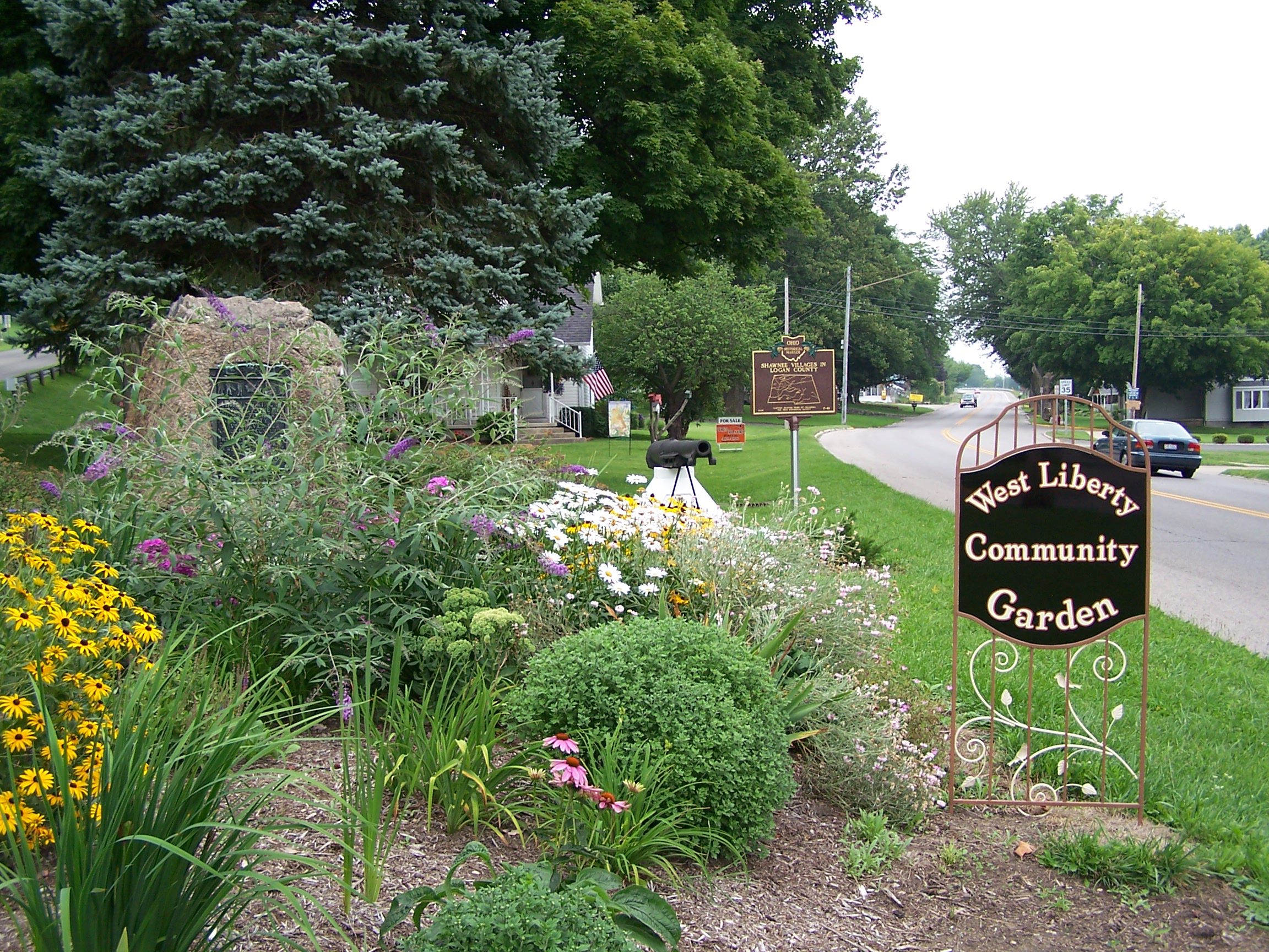
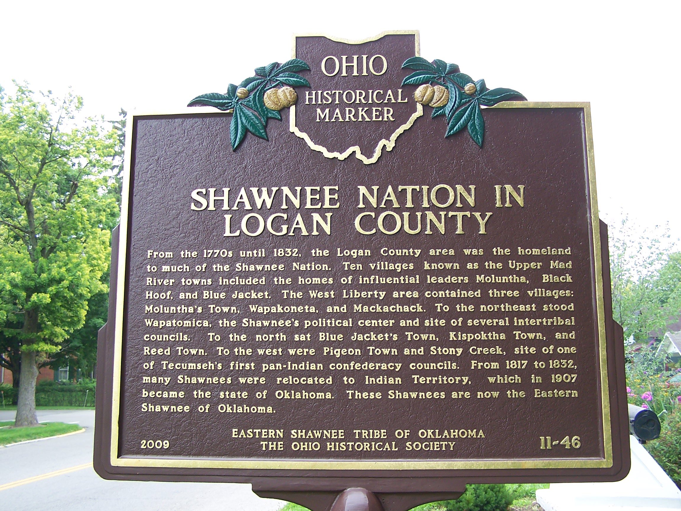
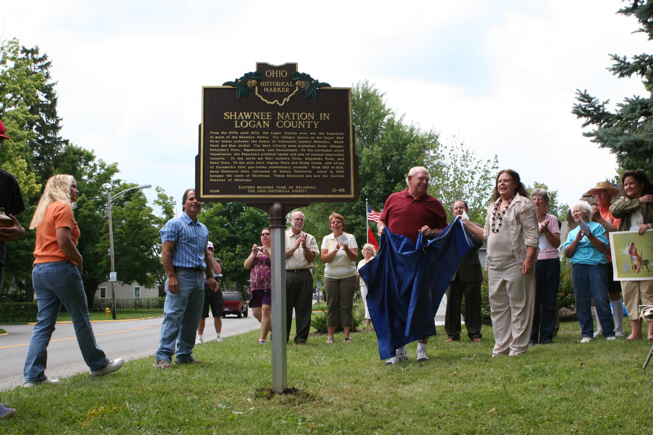
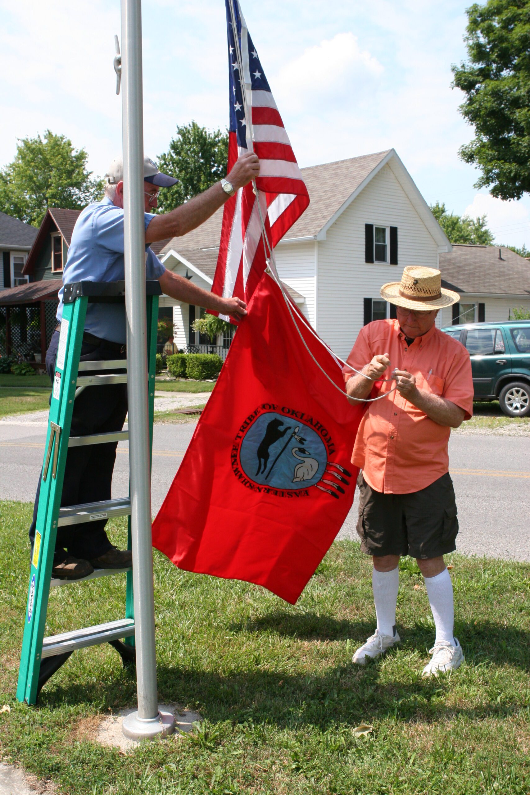
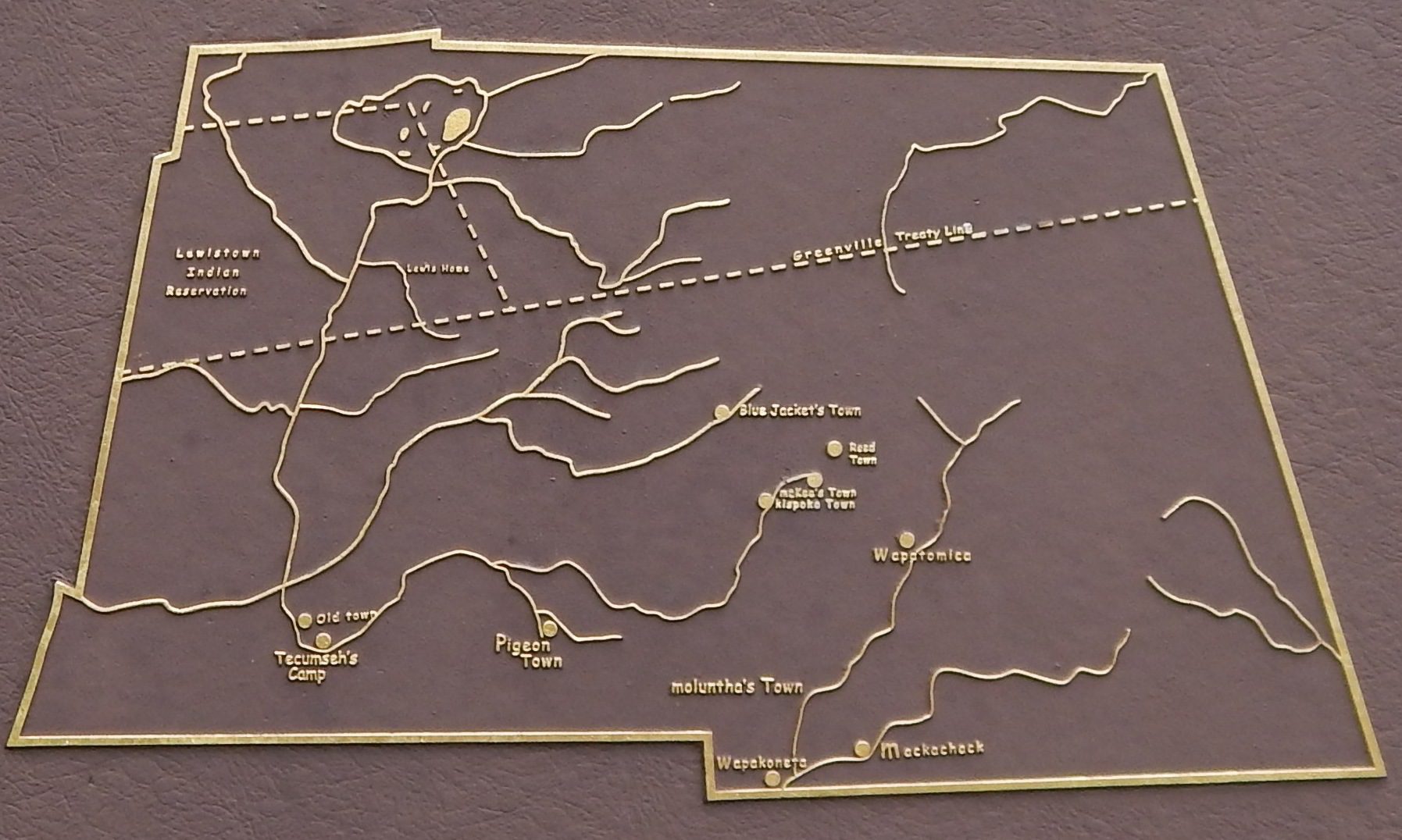
Side A: From the 1770s until 1832, the Logan County area was the homeland to much of the Shawnee Nation. Ten villages known as the Upper Mad River towns included the homes of influential leaders Moluntha, Black Hoof, and Blue Jacket. The West Liberty area contained three villages: Moluntha’s Town, Wapakoneta, and Mackachack. To the northeast stood Wapatomica, the Shawnee’s political center and site of several intertribal councils. To the north sat Blue Jacket’s Town, Kispoktha Town, and Reed Town. To the west were Pigeon Town and Stony Creek, site of one of Tecumseh’s first pan-Indian confederacy councils. From 1817 to 1832, many Shawnees were relocated to Indian Territory, which in 1907 became the state of Oklahoma. These Shawnees are now the Eastern Shawnee of Oklahoma.