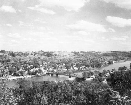
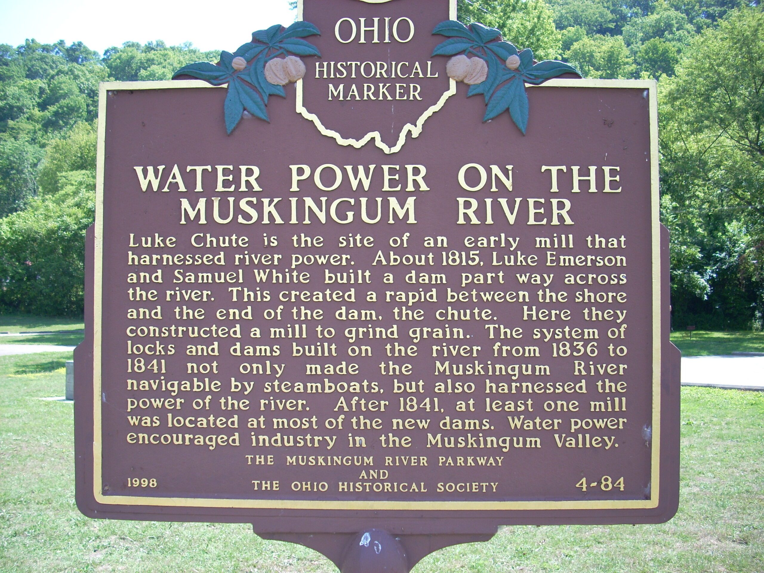
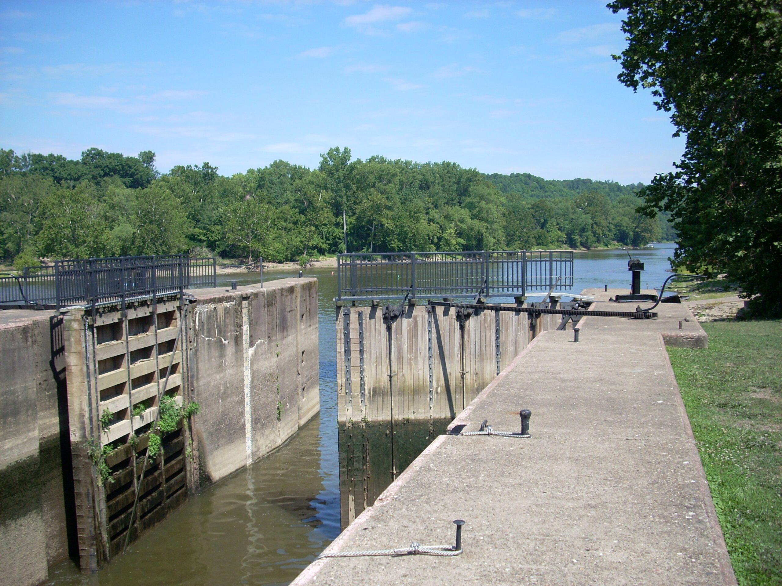
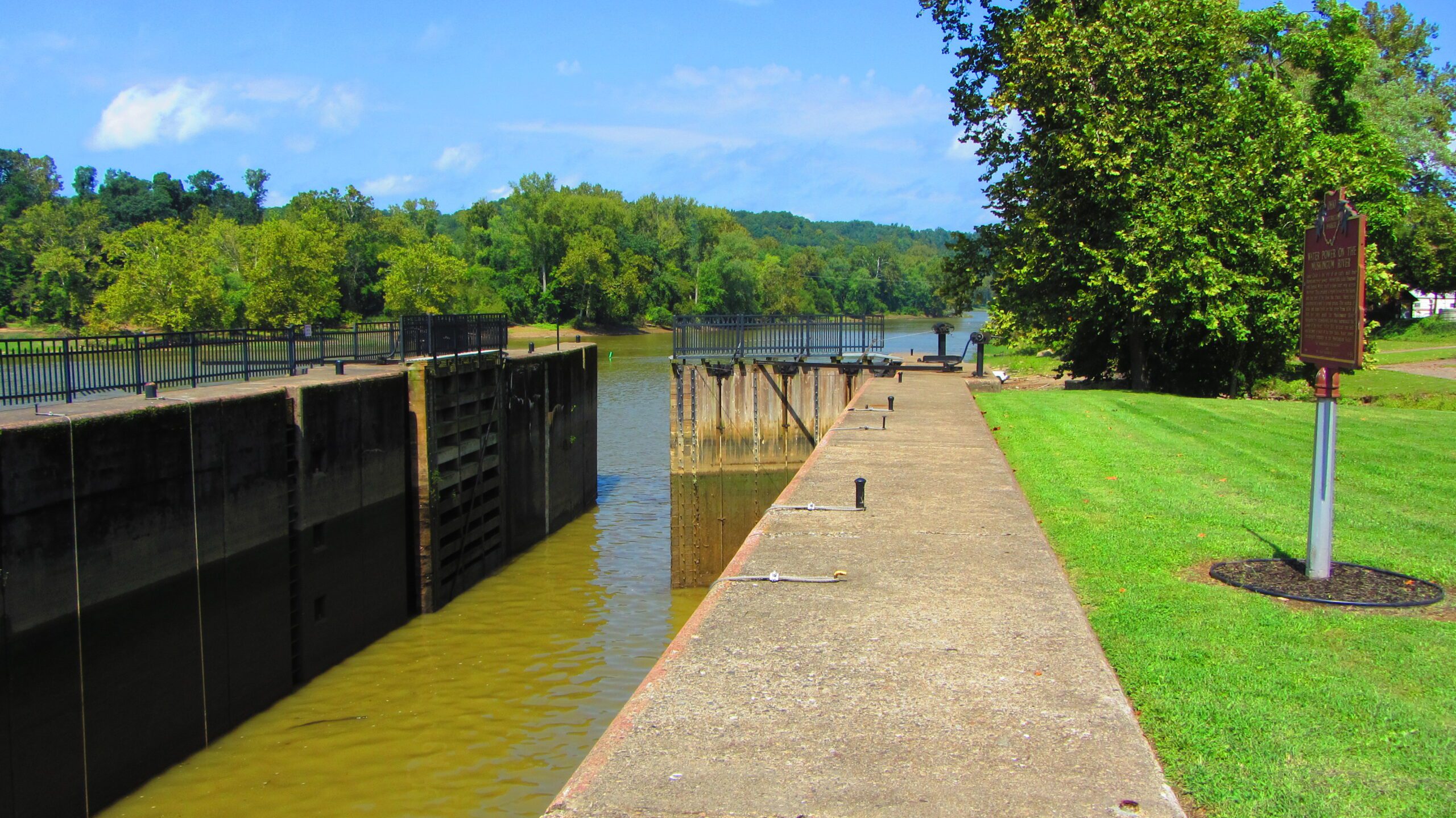
Side A: Luke Chute is the site of an early mill that harnessed river power. About 1815, Luke Emerson and Samuel White built a dam part way across the river. This created a rapid between the shore and the end of the dam, the chute. Here they constructed a mill to grind grain. The system of locks and dams built on the river from 1836 to 1841 not only made the Muskingum River navigable by steamboats, but also harnessed the power of the river. After 1841, at least one mill was located at most of the dams. Water power encouraged industry in the Muskingum Valley.
Location: Luke Chute: Between Beverly and Stockport, 34.1 miles from the mouth of the Muskingum River. In Beverly Off Rt 60 and Rt 339. Go south on 339 a short dist and signs for Luke Chute and Dam #5.