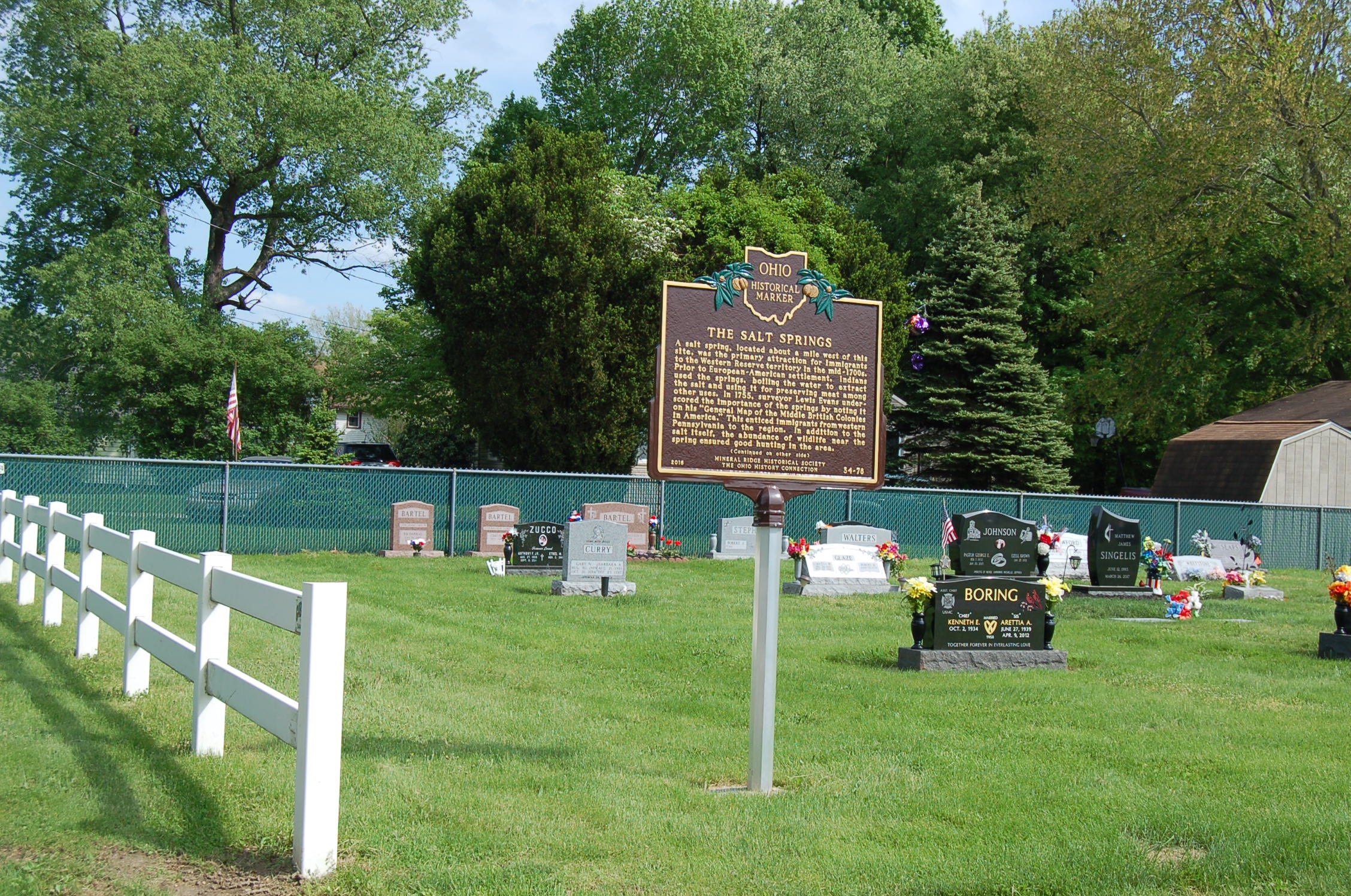
Side A: A salt spring, located about a mile west of this site, was the primary attraction for immigrants to the Western Reserve territory in the mid-1700s. Prior to European-American settlement, Indians used the springs, boiling the water to extract the salt and using it for preserving meat among other uses. In 1755, surveyor Lewis Evans underscored the importance of the springs by noting it on his “General Map of the Middle British Colonies in America.” This enticed immigrants from western Pennsylvania to the region. In addition to the salt itself, the abundance of wildlife near the spring ensured good hunting in the area. (Continued on other side)
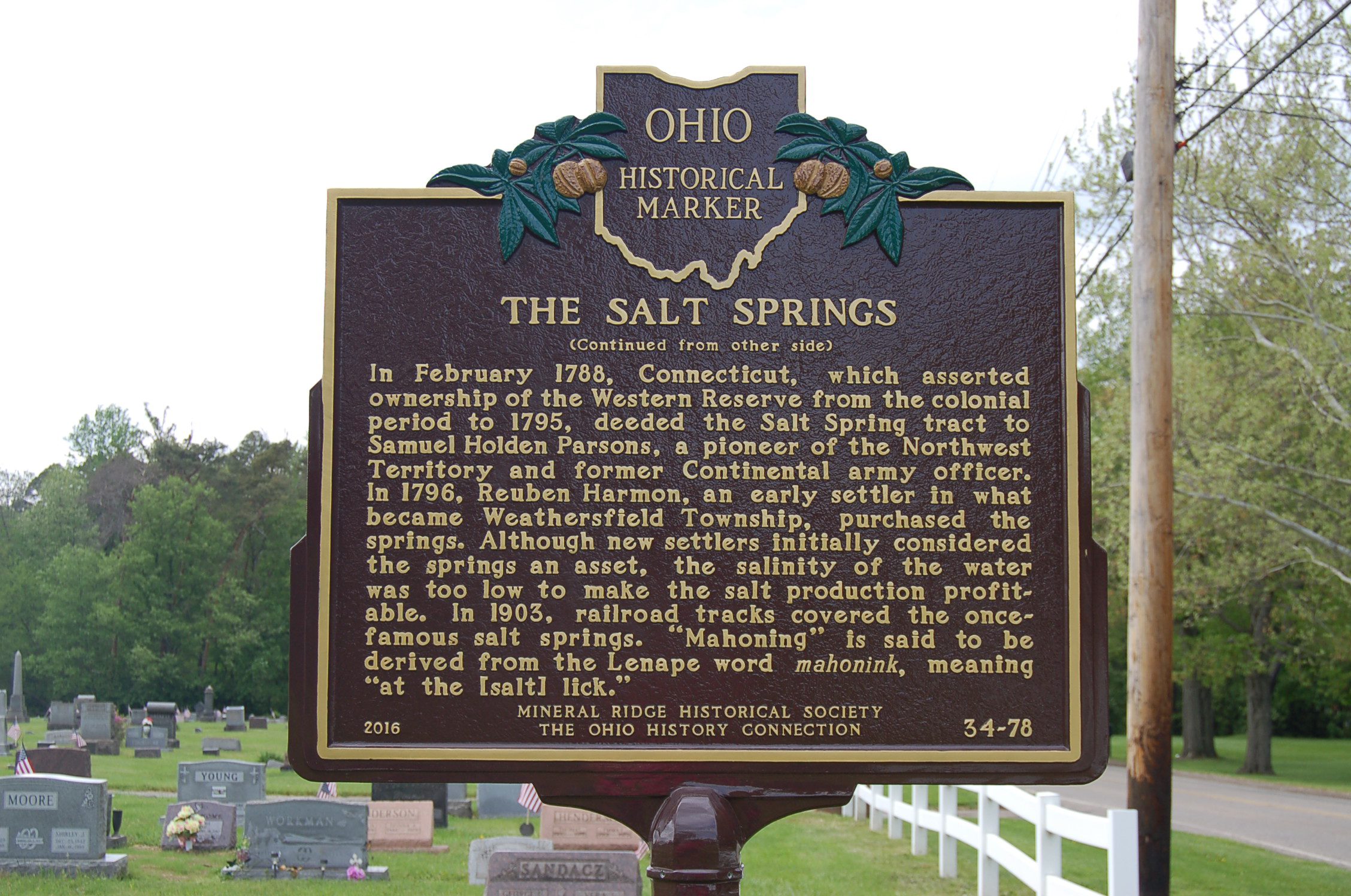
Side B: (Continued from other side) In February 1788, Connecticut, which asserted ownership of the Western Reserve from the colonial period to 1795, deeded the Salt Spring tract to Samuel Holden Parsons, a pioneer of the Northwest Territory and former Continental army officer. In 1796, Reuben Harmon, an early settler in what became Weathersfield Township, purchased the springs. Although new settlers initially considered the springs an asset, the salinity of the water was too low to make the salt production profitable. In 1903, railroad tracks covered the once-famous salt springs. “Mahoning” is said to be derived from the Lenape word mahonink, meaning “at the [salt] lick.”