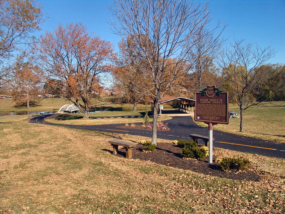
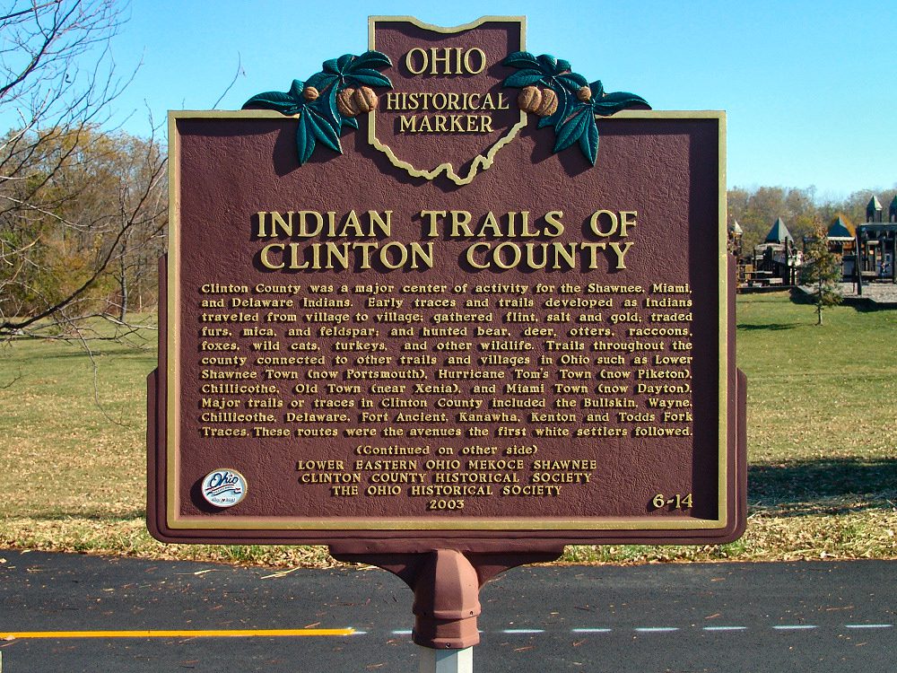
Side A: Clinton County was a major center of activity for the Shawnee, Miami, and Delaware Indians. Early traces and trails developed as Indians traveled from village to village; gathered flint, salt and gold; traded furs, mica, and feldspar; and hunted bear, deer, otters, raccoons, foxes, wild cats, turkeys, and other wildlife. Trails throughout the county connected to other trails and villages in Ohio such as Lower Shawnee Town (now Portsmouth), Hurricane Tom’s Town (now Piketon), Chillicothe, Old Town (near Xenia), and Miami Town (now Dayton). Major trails or traces in Clinton County included the Bullskin, Wayne, Chillicothe, Delaware, Fort Ancient, Kanawha, Kenton and Todds Fork Traces. These routes were the avenues the first white settlers followed. (continued on other side)
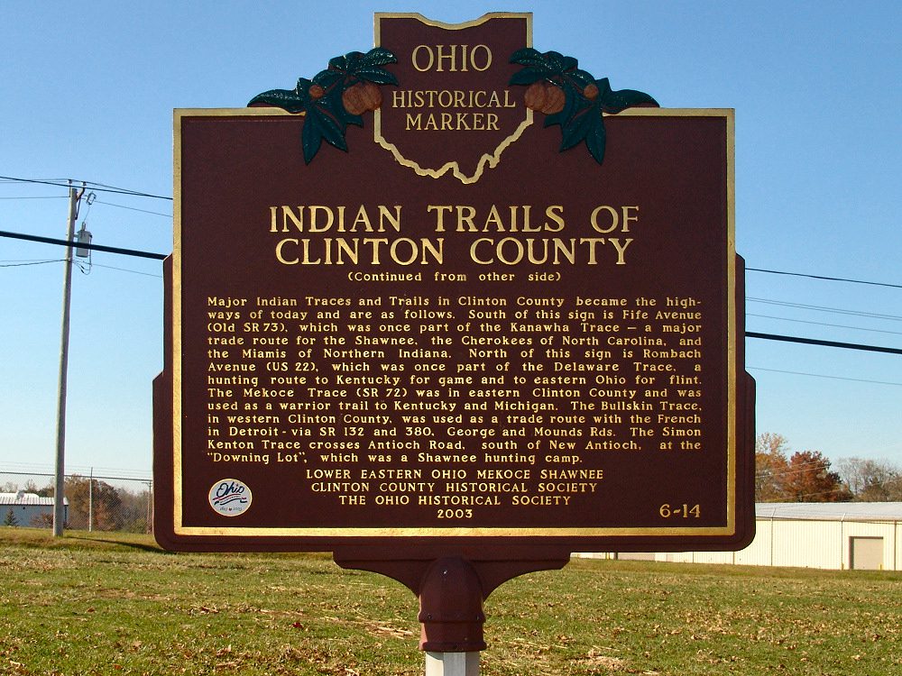
Side B: (continued from other side) Major Indian Traces and Trails in Clinton County became the highways of today and are as follows. South of this sign is Fife Avenue (Old SR 73), which was once part of the Kanawha Trace – a major trade route for the Shawnee, the Cherokees of North Carolina, and the Miamis of Northern Indiana. North of this sign is Rombach Avenue (US 22), which was once part of the Delaware Trace, a hunting route to Kentucky for game and to eastern Ohio for flint. The Meckoce Trace (SR 72) was in eastern Clinton County and was used as a warrior trail to Kentucky and Michigan. The Bullskin Trace, in western Clinton County, was used as a trade route with the French in Detroit – via SR 132 and 380, George and Mound Rds. The Simon Kenton Trace crosses Antioch Road, south of New Antioch, at the “Downing Lot”, which was a Shawnee hunting camp.
Sponsors: Lower Eastern Ohio Mekoce Shawnee, Clinton County Historical Society, and The Ohio Historical Society