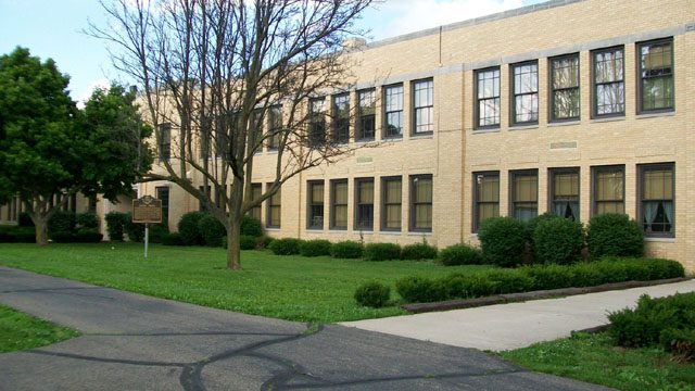
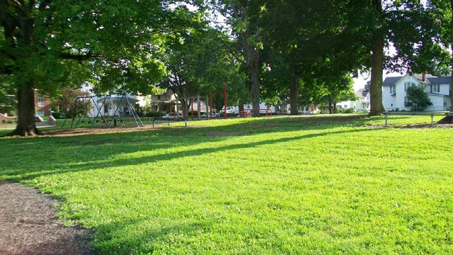
Side A: Colonel Ebenezer Zane played a major role in the development of Ohio, a role that helped place it on the path to statehood. A veteran of the Revolutionary War and experienced road builder, he received permission from Congress in 1796 to build a road into the Northwest Territory, which would be called Zane’s Trace. In exchange for his work, Zane received land grants where the trace would cross the Muskingum, Hocking, and Scioto rivers. The trace began in Wheeling, West Virginia (then Virginia) and ended at Limestone, Kentucky (present-day Maysville) on the Ohio River. Opening in 1797, it brought settlement into Ohio, including Lancaster. Its route crossed the playground area of East Elementary from the northeast corner of today’s playground to the southwest corner, lot #18, East Addition, as recorded on an 1897 map of Lancaster.