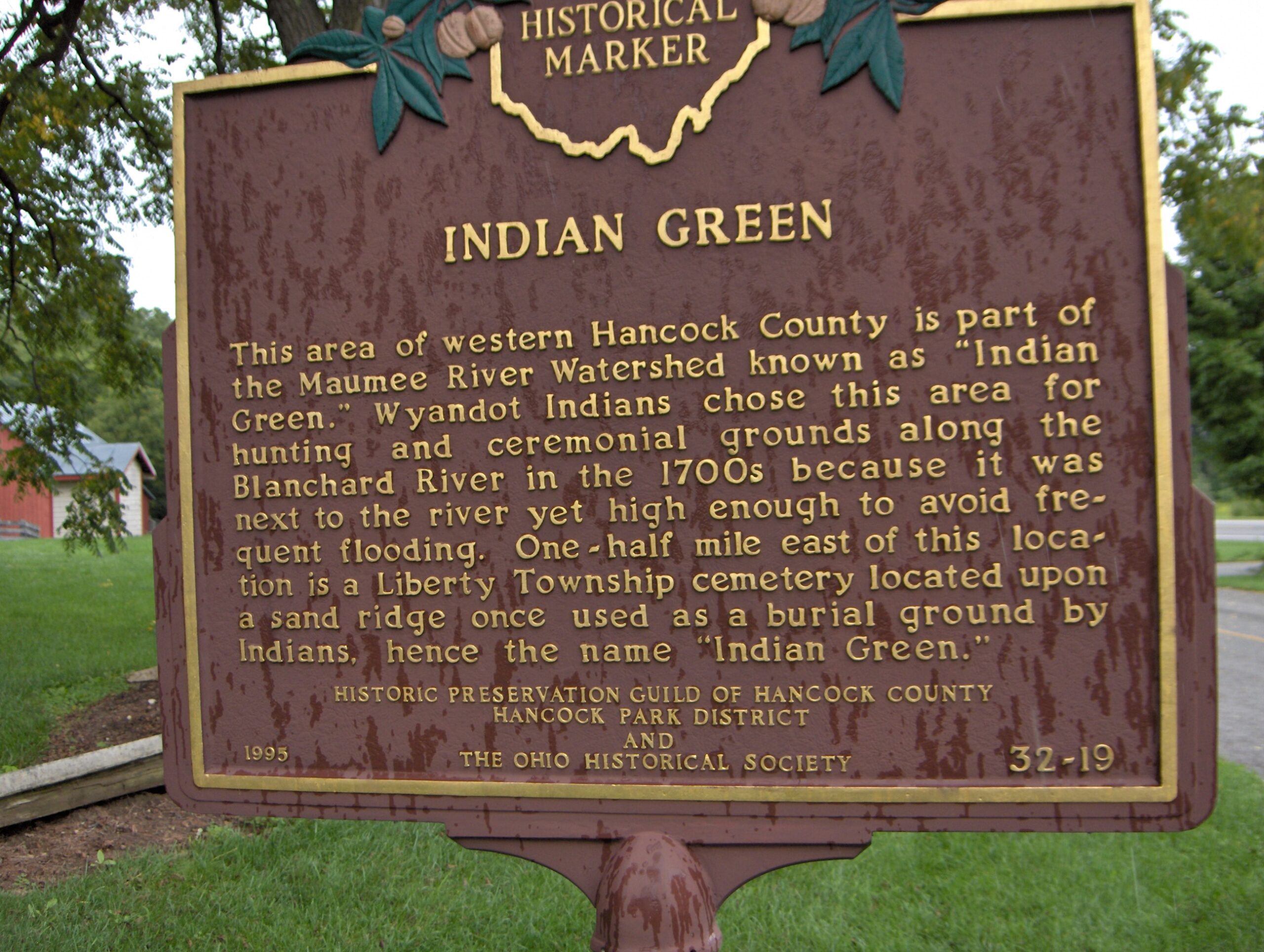
Side A: This area of western Hancock County is a part of the Maumee River Watershed known as “Indian Green.” Wyandot Indians chose this area for hunting and ceremonial grounds along the Blanchard River in the 1700s because it was next to the river, yet high enough to avoid frequent flooding. One-half mile east of this location is a Liberty Township cemetery. It is located upon a sand ridge once used as a burial ground by Indians, hence the name “Indian Green.”
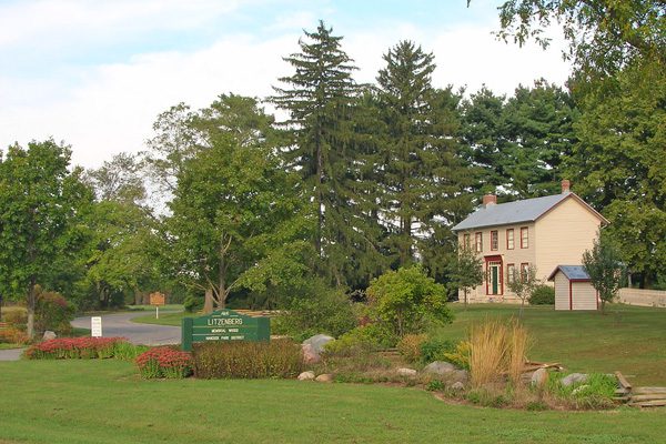
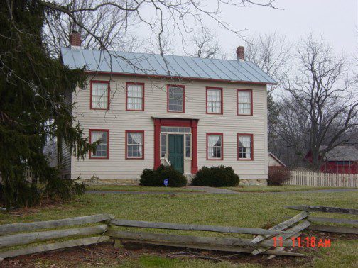
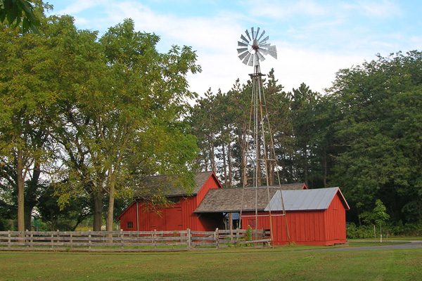
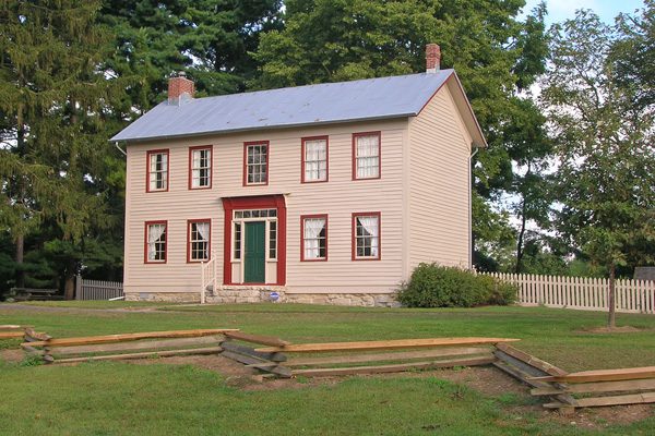
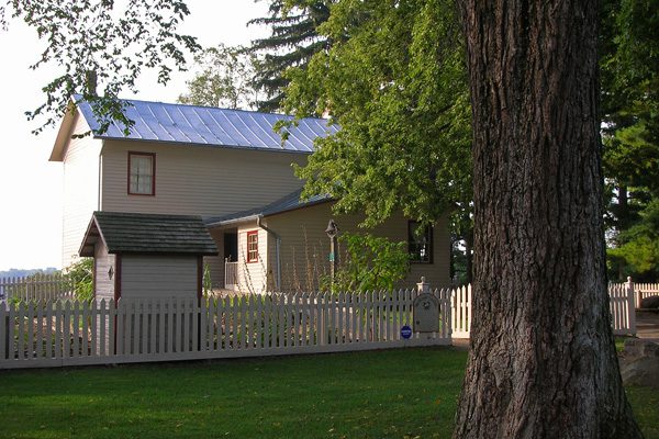
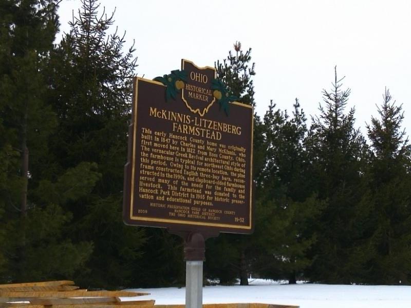
Side B: This early Hancock County home was originally built in 1847 by Charles and Mary McKinnis, who first moved here in 1822 from Ross County, Ohio. The vernacular Greek Revival architectural style of the farmhouse is typical for northwest Ohio during this period. Owing to its remote location, the pine frame constructed English three-bay barn, reconstructed in the 1990s, and clapboard-sided farmhouse served many of the needs for the family and livestock. This farmstead was donated to the Hancock Park District in 1985 for historic preservation and educational purposes.
Sponsors: Historic Preservation Guild of Hancock County, Hancock Park District, and The Ohio Historical Society