Below is a complete listing of all Ohio Historical Markers. To find a detailed marker listing including text, photographs, and locations, click on a county below. Our listing is updated by the markers program as new markers are installed and older markers are reported damaged or missing.
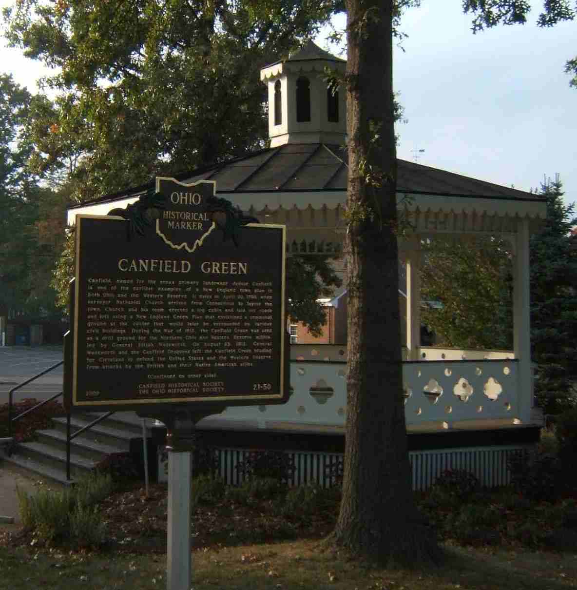
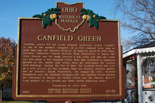
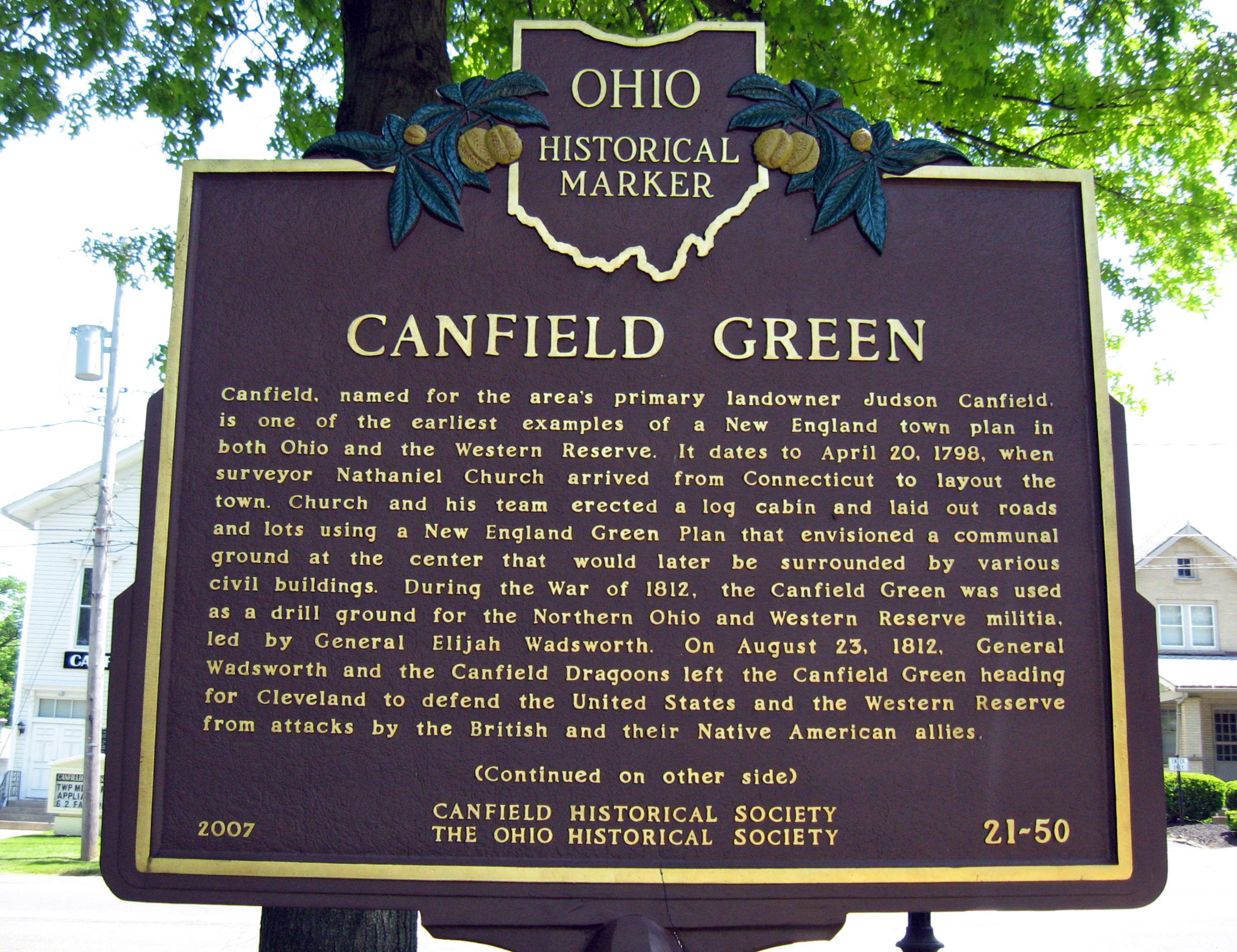
Side A: Canfield, named for the area’s primary landowner Judson Canfield, is one of the earliest examples of a New England town plan in both Ohio and the Western Reserve. It dates to April 20, 1798, when surveyor Nathaniel Church arrived from Connecticut to layout the town. Church and his team erected a log cabin and laid out roads and lots using a New England Green Plan that envisioned a communal ground at the center that would later be surrounded by various civil buildings. During the War of 1812, the Canfield Green was used as a drill ground for the Northern Ohio and Western Reserve militia, led by General Elijah Wadsworth. On August 23, 1812, General Wadsworth and the Canfield Dragoons left the Canfield Green heading for Cleveland to defend the United States and the Western Reserve from attacks by the British and their Native American allies. (Continued on other side)
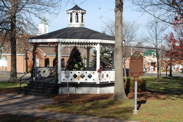
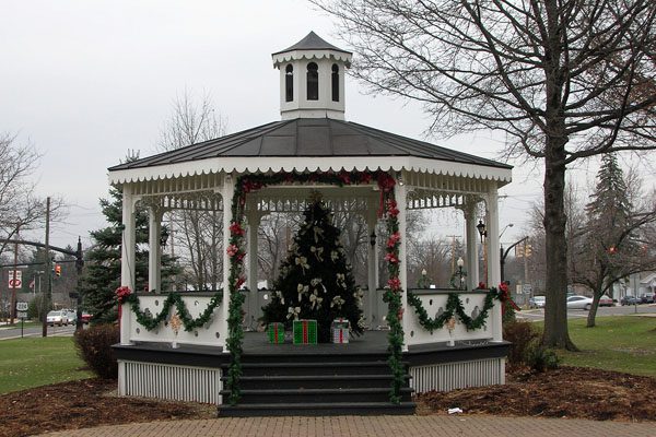
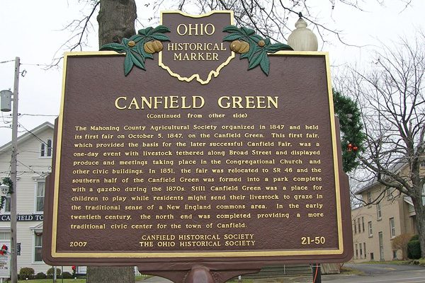
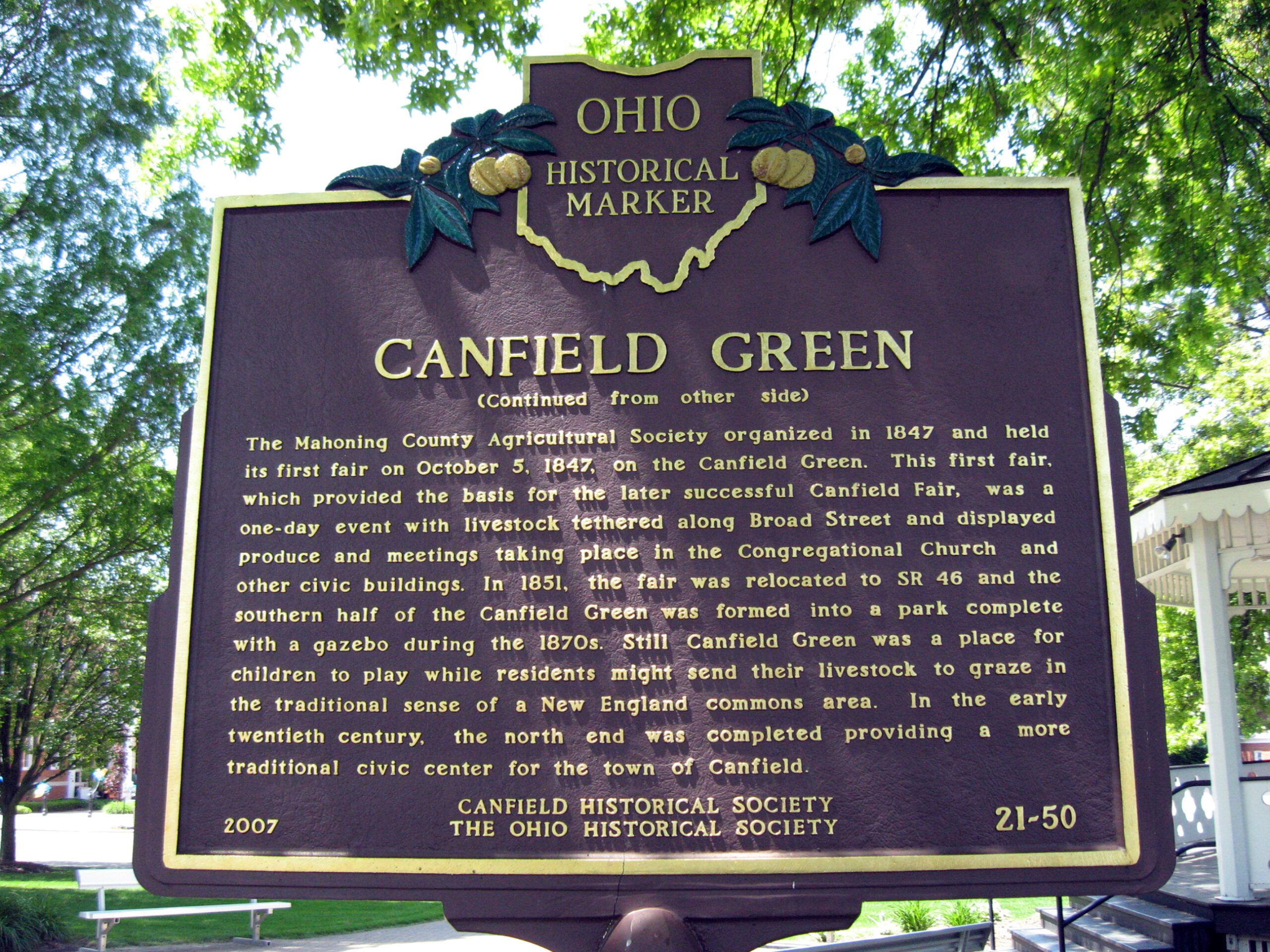
Side B: (Continued from other side) The Mahoning County Agricultural Society organized in 1847 and held its first fair on October 5, 1847, on the Canfield Green. This first fair, which provided the basis for the later successful Canfield Fair, was a one-day event with livestock tethered along Broad Street and displayed produce and meetings taking place in the Congregational Church and other civic buildings. In 1851, the fair was relocated to SR 46 and the southern half of the Canfield Green was formed into a park complete with a gazebo during the 1870s. Still Canfield Green was a place for children to play while residents might send their livestock to graze in the traditional sense of a New England commons area. In the early twentieth century, the north end was completed providing a more traditional civic center for the town of Canfield.