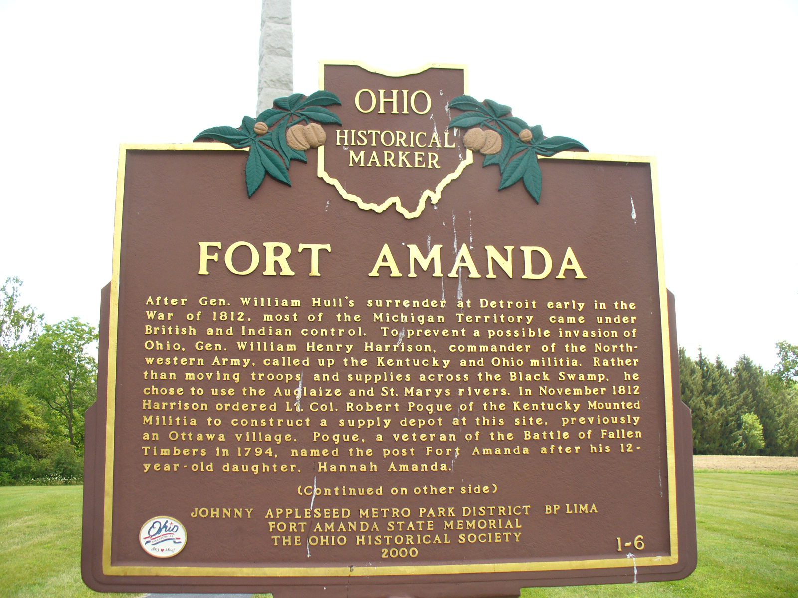
Side A: After Gen. William Hull’s surrender at Detroit early in the War of 1812, most of the Michigan Territory came under British and Indian control. To prevent a possible invasion of Ohio, Gen. William Henry Harrison, commander of the Northwestern Army, called up the Kentucky and Ohio militia. Rather than moving troops and supplies across the Black Swamp, he chose to use the Auglaize and St. Marys rivers. In November 1812 Harrison ordered Lt. Col. Robert Pogue of the Kentucky Mounted Militia to construct a supply depot at this site, previously an Ottawa village. Pogue, a veteran of the Battle of Fallen Timbers in 1794, named the post Fort Amanda after his 12-year-old daughter, Hannah Amanda. (continued on other side)
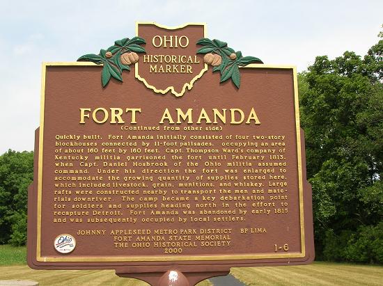
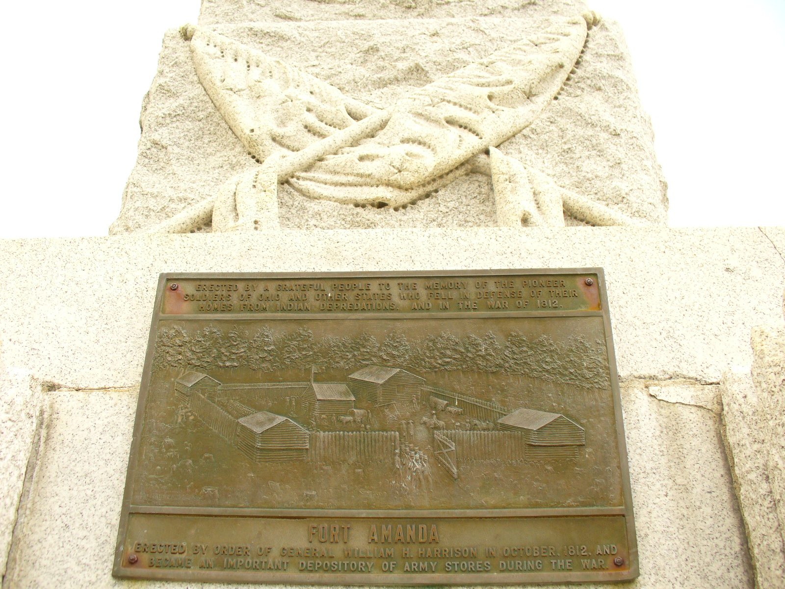
Side B: Quickly built, Fort Amanda initially consisted of four two-story blockhouses connected by 11-foot palisades, occupying an area of about 160 feet by 160 feet. Capt. Thompson Ward’s company of Kentucky militia garrisoned the fort until February 1813, when Capt. Daniel Hosbrook of the Ohio militia assumed command. Under his direction the fort was enlarged to accommodate the growing quantity of supplies stored here, which included livestock, grain, munitions, and whiskey. Large rafts were constructed nearby to transport the men and materials downriver. The camp became a key debarkation point for soldiers and supplies heading north in the effort to recapture Detroit. Fort Amanda was abandoned by early 1815 and was subsequently occupied by local settlers.
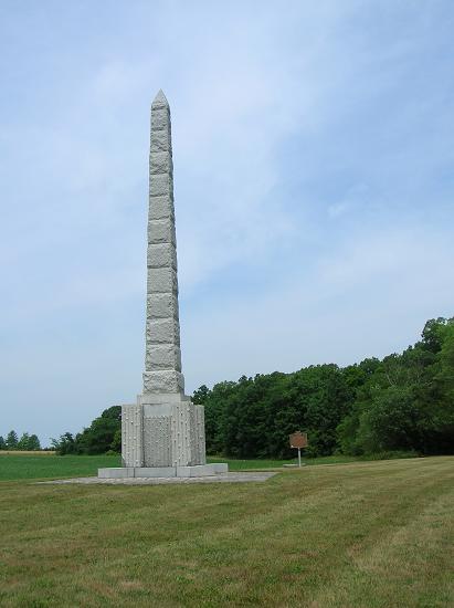
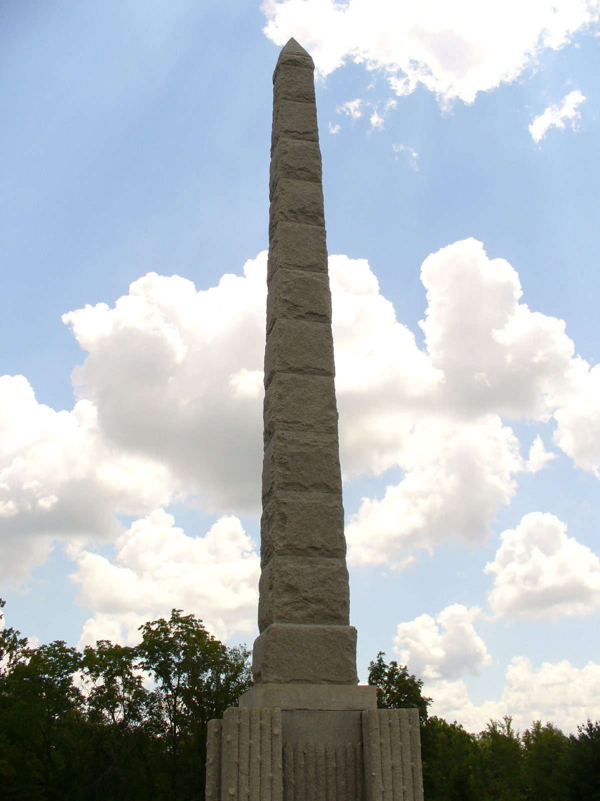
Address: Fort Amanda State Memorial, OH 198, 1/4 mile S of Ft. Amanda Road, Lima,