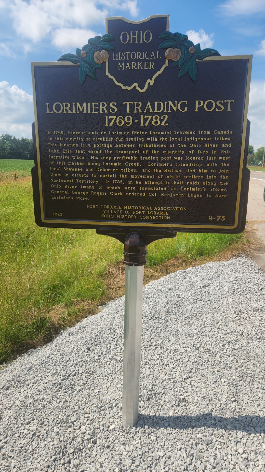
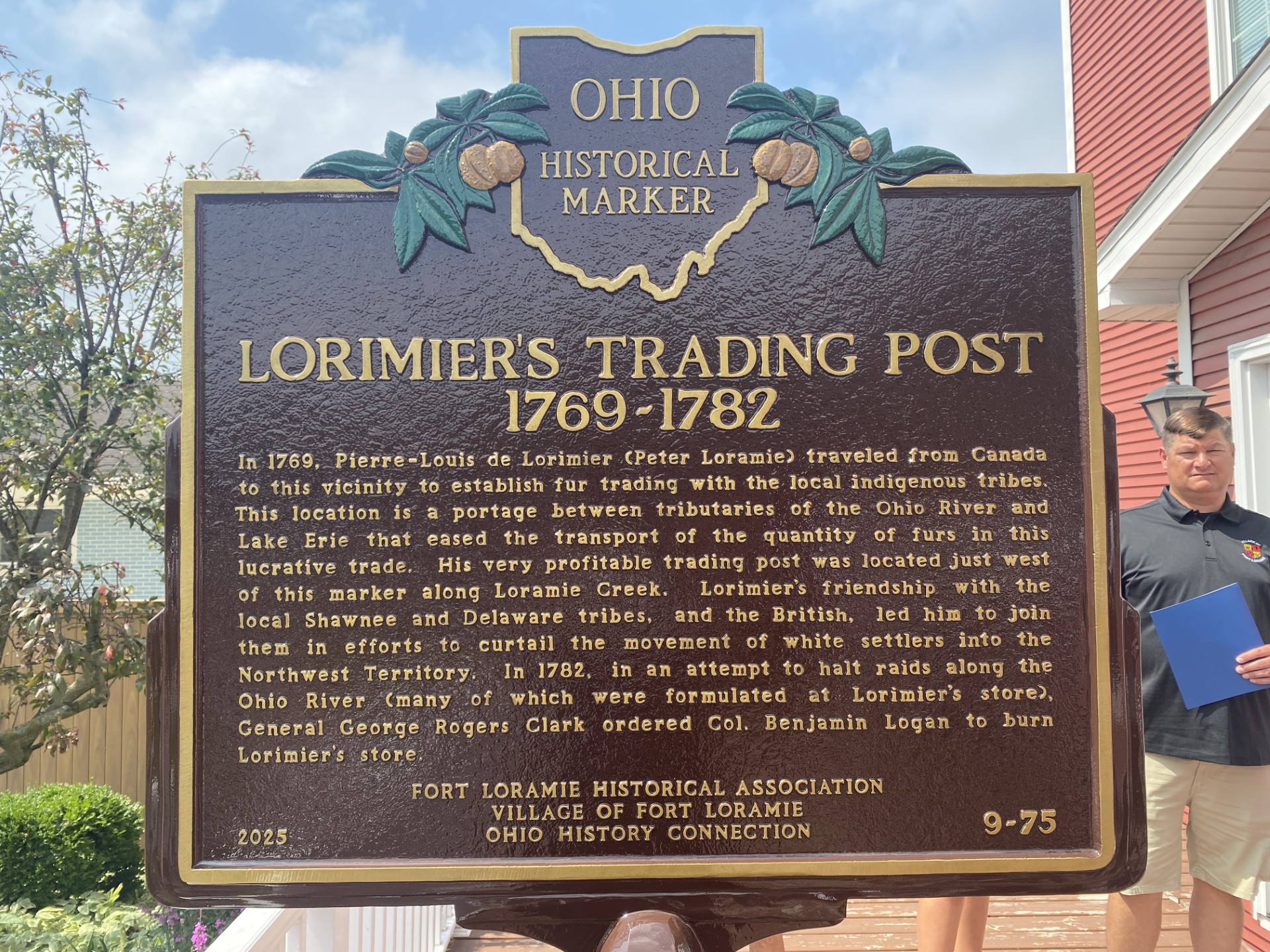
Side A: In 1769, Pierre-Louis de Lorimier (Peter Loramie) traveled from Canada to this vicinity to establish fur trading with the local indigenous tribes. This location is a portage between tributaries of the Ohio River and Lake Erie that eased the transport of the quantity of furs in this lucrative trade. His very profitable trading post was located just west of this marker along Loramie Creek. Lorimier’s friendship with the local Shawnee and Delaware tribes, and the British, led him to join them in efforts to curtail the movement of white settlers into the Northwest Territory. In 1782, in an attempt to halt raids along the Ohio River (many of which were formulated at Lorimier’s store), General George Rogers Clark ordered Col. Benjamin Logan to burn Lorimier’s store.
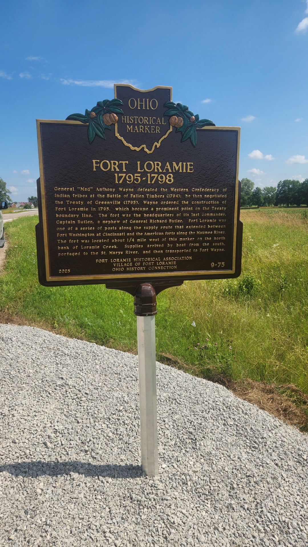
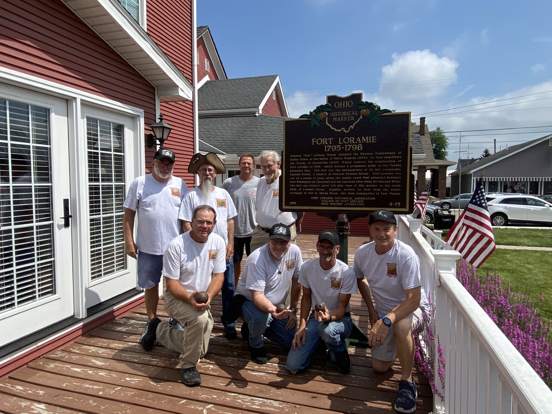
Side B: General “Mad” Anthony Wayne defeated the Western Confederacy of Indian tribes at the Battle of Fallen Timbers (1794); he then negotiated the Treaty of Greenville (1795). Wayne ordered the construction of Fort Loramie in 1795, which became a prominent point on the Treaty boundary line. The fort was the headquarters of its last commander, Captain Butler, a nephew of General Richard Butler. Fort Loramie was one of a series of posts along the supply route that extended between Fort Washington at Cincinnati and the American forts along the Maumee River. The fort was located about ¼ mile west of this marker on the north bank of Loramie Creek. Supplies arrived by boat from the south, portaged to the St. Marys River, and then transported to Fort Wayne.