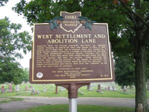
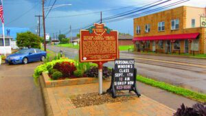
Augustus West, an African American, was born in Madison County, Virginia on March 20, 1814, and moved to Ohio in 1837. Legend has it that West was a runaway slave and worked as a farm laborer before designing a scheme to purchase his own farm. West, with abolitionist Alexander Beatty, traveled into slave territory no fewer than three times where the pair would sell West, help him escape, and split the profits. After splitting the profits, West used his portion of the money to purchase 177 acres of land in Fayette County where he built his “mansion.” To remain inconspicuous and secure, West built the “mansion” as far from the main road as possible. (continued on other side)
As a shareholder of the United Library Association in Pomfret, Connecticut, General Israel Putnam amassed a large collection of books, which was called the Putnam Family Library. The collection was divided among his heirs after his death in 1790. His son, Colonel Israel Putnam brought part of that collection with him to Washington County, Ohio, in 1795. Education was a foremost concern to settlers in the Ohio Country and was reinforced in article three of the Northwest Ordinance of 1787. Accordingly, the Putnam family’s collection circulated among neighbors and provided the means of education for the people of Belpre and surrounding communities. By 1796, a group of subscribers, paying ten dollars a share, fully organized a public library. Later known as the Belpre Farmers’ Library, it was the first library established in the Northwest Territory. The library operated under the management of the shareholders until 1815.
In 1769, Pierre-Louis de Lorimier (Peter Loramie) traveled from Canada to this vicinity to establish fur trading with the local indigenous tribes. This location is a portage between tributaries of the Ohio River and Lake Erie that eased the transport of the quantity of furs in this lucrative trade. His very profitable trading post was located just west of this marker along Loramie Creek. Lorimier’s friendship with the local Shawnee and Delaware tribes, and the British, led him to join them in efforts to curtail the movement of white settlers into the Northwest Territory. In 1782, in an attempt to halt raids along the Ohio River (many of which were formulated at Lorimier’s store), General George Rogers Clark ordered Col. Benjamin Logan to burn Lorimier’s store.
In 1796, surveyors for the Connecticut Land Company designated an area five miles square surrounding this place as Range 7, Township 7 of the Connecticut Western Reserve. A landowner’s expedition on June 15, 1798, arrived at the northwest corner of the township. One of its members, Thomas Umberfield (Umberville) brought his family to the center of the township (now Burton Village) on June 21, 1798. Here they built the first home, a simple log cabin located southwest of the spring at the end of Spring Street. The owner of the largest parcel of land in the township, Titus Street, was given the honor of naming the township. He named it after his son, Burton.
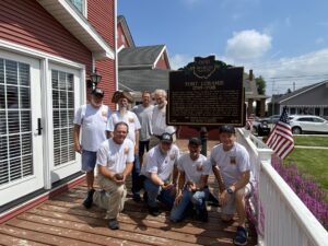
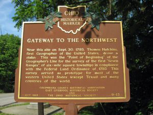
Near this site on Sept. 30, 1785, Thomas Hutchins, first Geographer of the United States, drove a stake: This was the “Point of Beginning” of the Geographer’s Line for the survey of the first “Seven Ranges” of six-mile square townships in compliance with the Federal Land Ordinance of 1785. This survey served as a prototype for most of the western United States (except Texas) and many countries of the world.
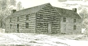
With the Division Act of 1800, the U.S. Congress divided the Northwest Territory at a line essentially the present boundary of Indiana and Ohio. The Indiana Territory stood west of the line. The name Northwest Territory was retained for the land east of the line and Chillicothe became its capital. The legislature for the territory convened in Chillicothe in November 1800. Since there were no public buildings in which the legislature could meet, its session was held in a two-story log house that stood on this site called “Abrams’ Big House.” It was so called for its owner, Basil Abrams. During the War of 1812, the building served as the barracks for the 19th U.S. Regiment of Infantry. Thereafter, it was known as the “old barracks” until it was razed circa 1840.
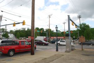
SW corner of Reading Road/US 42 and W Columbia Avenue
Reading
, OH
In 1794 Abraham Voorhees, a Revolutionary War veteran, brought his family from New Jersey to the Northwest Territory to settle on 640 acres of land, part of the Miami Purchase, for which he paid John Cleves Symmes “533 dollars 30/90ths” in United States Treasury Certificates. By 1798 the town was platted and lots were being sold. Official registration of the plat was completed in 1804, the town’s name being changed to Reading at the suggestion of Henry Redinbo, who had moved his family to the area from Reading, Pennsylvania, in 1795.
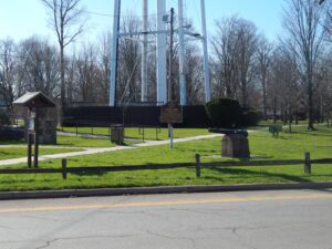
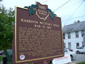
The first road through Marion County followed the Scioto Trail of the Native Americans. This 120-foot wide strip through Wyandot territory led from Lower Sandusky (Fremont) to the Greenville Treaty Line. A confederation of Ohio tribes ceded it to the United States at the Treaty of Brownsville, Michigan, in 1808. During the War of 1812, the troops of General William Henry Harrison’s Army of the Northwest traveled this road en route to Fort Meigs and the British fort at Detroit, using it to transport supplies to the army and to the chain of forts and blockhouses that protected the road. After the American victory, this area was opened for settlement by the 1817 Treaty of the Maumee Rapids, and soldiers who discovered the area while traveling the Military Road were among the first settlers. (continued on other side)