, OH
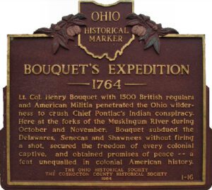
Lt. Col. Henry Bouquet with 1500 British regulars and American militia penetrated the Ohio wilderness to crush Chief Pontiac’s Indian conspiracy. Here at the forks of the Muskingum River during October and November, Bouquet subdued the Delawares, Senecas, and Shawnee without firing a shot, secured the freedom of every colonial captive, and obtained promises of peace–a feat unequaled in colonial American history.
, OH
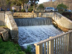
Sounds of boat horns and brawling packet crews resounded for many years at this lock and 142 others on the Ohio and Erie Canal. The canal was a 308-mile water toll road built between 1825 and 1832 from Lake Erie at Cleveland to the Ohio River at Portsmouth. The early growth of Akron and Massillon was due to the canal. Railroads caused its decline and the flood of 1913 destroyed its usefulness.
, OH
Its location and the tides of war established Gallipolis, then a town of some 3,000, as a point of strategic military importance to the Union upon the outbreak of the conflict in 1861. It was destined during the next four years to play a role without counterpart in Ohio. Here through this troop concentration area passed thousands of soldiers to the great campaigns. Here the traditional peacetime activity of the town, long a depot of supplies for the Kanawha Valley, was turned to military purposes for maintaining armies in the field. Here riverside warehouses held vast military stores to be transported by steamboat. Here newly-mustered troops set up Camp Carrington in a wheat field on the upper side of town. Here the women of Gallipolis helped minister to thousands of wounded and sick in an army hospital
, OH
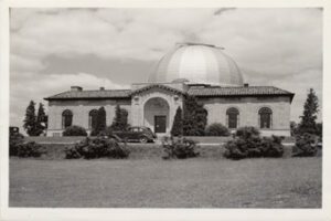
One-half mile east is the site of the former BIG EAR radio telescope. Designed by Dr. John D. Kraus, pioneering radio astronomer at Ohio State University, it had a collecting area of 340 by 70 feet (104 by 21 meters). The observatory was completed in 1963. The Ohio Sky Survey recorded here between 1965 and 1972 was the most accurate, reliable, and complete mapping of cosmic radio signals (the “radio sky”) for many years. BIG EAR gained fame for its ability to detect quasi-stellar radio sources, or “quasars,” and for its discovery of some of the most distant objects known. This observatory conducted a 24-year continuous search for evidence of extraterrestrial intelligence, during which the famous “Wow!” signal was received in 1977. BIG EAR was demolished in 1998. [“Wow!” signal graphic]
, OH
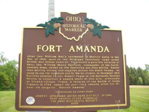
After Gen. William Hull’s surrender at Detroit early in the War of 1812, most of the Michigan Territory came under British and Indian control. To prevent a possible invasion of Ohio, Gen. William Henry Harrison, commander of the Northwestern Army, called up the Kentucky and Ohio militia. Rather than moving troops and supplies across the Black Swamp, he chose to use the Auglaize and St. Marys rivers. In November 1812 Harrison ordered Lt. Col. Robert Pogue of the Kentucky Mounted Militia to construct a supply depot at this site, previously an Ottawa village. Pogue, a veteran of the Battle of Fallen Timbers in 1794, named the post Fort Amanda after his 12-year-old daughter, Hannah Amanda. (continued on other side)
, OH
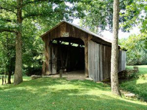
This covered bridge, spanning Salt Creek in Perry Township, Muskingum County was erected in the 1870s. It is a splendid example of an Ohio covered bridge built with Warren type trusses. It is being preserved as an important illustration of the sound, fine craftsmanship of the early bridge builders of Ohio. This plaque has been erected to give these men the honor they greatly deserve.
, OH
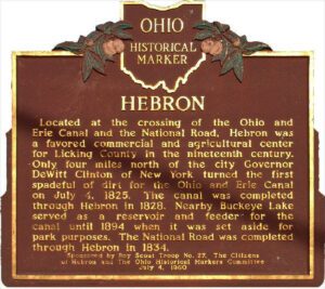
Located at the crossing of the Ohio and Erie Canal and the National Road, Hebron was a favored commercial and agricultural center for Licking County in the nineteenth century. Only four miles north of the city Governor DeWitt Clinton of New York turned the first spadeful of dirt for the Ohio and Erie canal on July 4, 1825. The canal was completed through Hebron in 1828. Nearby Buckeye Lake served as a reservoir and feeder for the canal until 1894 when it was set aside for park purposes. The National Road was completed through Hebron in 1834.
, OH
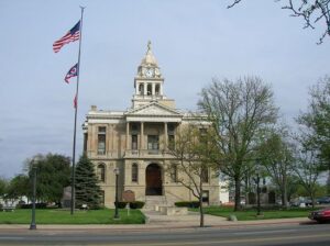
Opened on May 1, 1885, this is the third Fayette County Court House building. Ohio artist Archibald Willard, who is best known for the patriotic painting, “The Spirit of ’76,” was commissioned by the firm Cooks Brothers to do painting and fresco work for the interior walls of the courthouse. Willard did not sign his work and the artist’s identity remained a mystery for nearly 75 years until confirmation was made in August 1956. The artist’s name was cleverly disguised in the delivery address of the letter in “The Spirit of the U.S. Mail” mural. The other primary murals, “Spirit of Electricity” and “Spirit of the Telegraph,” adorn the third floor corridor.


