, OH
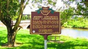
This is the site of Johnny Appleseed’s earliest known recorded landholdings. Appleseed (whose legal name was John Chapman) purchased two parcels from Joseph Walker on September 14, 1809: Mount Vernon town lot 147, upon which you stand, and lot 145, which is across the road and north of this site. Johnny Appleseed likely rested here on August 10, 1813, after arriving from Mansfield with alarming news of a rumored Indian attack. Appleseed returned to Mansfield with reinforcements from Mount Vernon that same day–a round trip of over fifty miles.
, OH
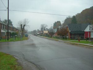
Originally known as Hocking Furnace, Haydenville was founded by and named for Columbus industrialist Peter Hayden (1806-1888), who energetically developed the coal, iron, sandstone, and fire clay deposits found in abundance in this area. Here he operated an iron furnace, coal mines and sandstone quarries, shipping products on the Hocking Canal and, later, the Hocking Valley Railroad he helped build. The incorporation of the Haydenville Mining and Manufacturing Company in 1882 initiated the manufacture of brick and ceramic tile from fire clay. Business boomed in the late 19th century as cities paved their streets with brick and fireproof construction became popular in the wake of widely publicized and tragic fires.
, OH
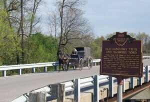
County Road 265 follows an old Indian trail which connected the Wyandot villages at Upper Sandusky with the Shawnee Mac-o-chee towns to the southwest. Many wigwams were pitched near this Scioto River ford during the late 18th and early 19th centuries. Soldiers (during the War of 1812), settlers, and stagecoach passengers later followed this route.
, OH
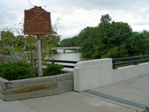
Early in the War of 1812, Gen. Wm. Hull, commander of Ohio troops, ordered Col. James Findlay to open a road from Ft. McArthur on the Scioto River to Blanchard’s Fork. Under Findlay, a stockade 50 yards square, with a blockhouse at each corner, was erected here and named in his honor. The fort was used as a supply depot.
, OH
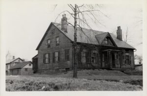
Built in 1807. Listed on the National Register of Historic Places. Trumbull County Historical Society Museum.
, OH
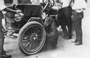
Charles F. “Boss” Kettering was a prolific inventor. While at National Cash Register, he invented the first electric cash register. Kettering founded the Dayton Engineering Laboratories Company (Delco) in 1909 and developed the electric self-starter for automobiles, first used in 1912 Cadillacs. He also developed no-knock Ethyl gasoline, lacquer car finishes, four-wheel brakes, safety glass, and high-compression engines; made significant improvements to diesel engines that led to their use in locomotives, trucks, and buses; and collaborated with Thomas Midgley, Jr. in the development of the refrigerant Freon. Kettering served as President of the Society of Automotive Engineers in 1918, co-founded the Engineers’ Club of Dayton (1914), and was director of research at General Motors Corporation from 1920 to 1947. His interest in medical and scientific research led to the founding of the Kettering Foundation and the Sloan-Kettering Institute for Cancer Research.
, OH
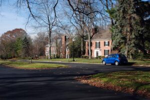
Youngstown’s earliest automobile suburb, Forest Glen Estates was developed in the 1920s during a period of change in urban transportation patterns and rapid expansion in the regional steel economy. A composite of design work by leading northeastern Ohio landscape and residential architects, the park-like suburb integrates period revival architecture into the natural landscape and blends gracefully with adjacent Mill Creek Park. Gently curving streets with low curbs and landscaped islands were a novel departure from traditional grid patterns. Attached garages and walkways that connect to driveways rather than the street reflect the influence of the personal automobile in the suburban landscape during this era. In 1998, the Forest Glen Estates Historic District was listed on the National Register of Historic Places.
, OH
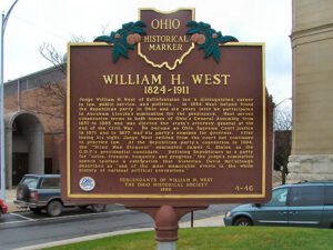
Judge William H. West of Bellefontaine led a distinguished career in law, public service, and politics. In 1854 West helped found the Republican party in Ohio and six years later he participated in Abraham Lincoln’s nomination for the presidency. West served consecutive terms in both houses of Ohio’s General Assembly from 1857 to 1865 and was elected the state’s attorney general at the end of the Civil War. He became an Ohio Supreme Court justice in 1871 and in 1877 was his party’s nominee for governor. After losing his sight, Judge West retired from the court but continued to practice law. At the Republican party’s convention in 1884, the “Blind Man Eloquent” nominated James G. Blaine as the G.O.P.’s presidential candidate. Defining Republicans as a party for “union, freedom, humanity, and progress,” the judge’s nomination speech sparked a celebration that historian David McCullough described as “one of the most memorable events in the whole history of national political conventions.”


